


When the Greek summer crowd drifts away, the trails appear in their best guise. The fall-winter months cool the air and sharpen the light, and spring brings wildflowers to meandering paths that link mountain and sea.
Many of these walks are old routes once used by shepherds, monks, and traders, taking you past fortresses, monasteries, villages, forests and gorges, as well as bold vistas of the sea.
The reward is always the same: views that you can only discover on foot. From Mani’s wild tip to the amphitheatrical lanes of Hydra, from Andros’s mapped network to Olympus’s mythic gorge, these are the essential hikes where land and water meet.
01
Kardamyli → Viros Gorge
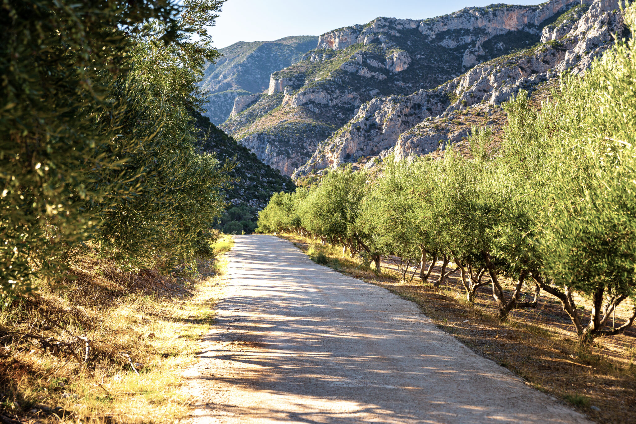
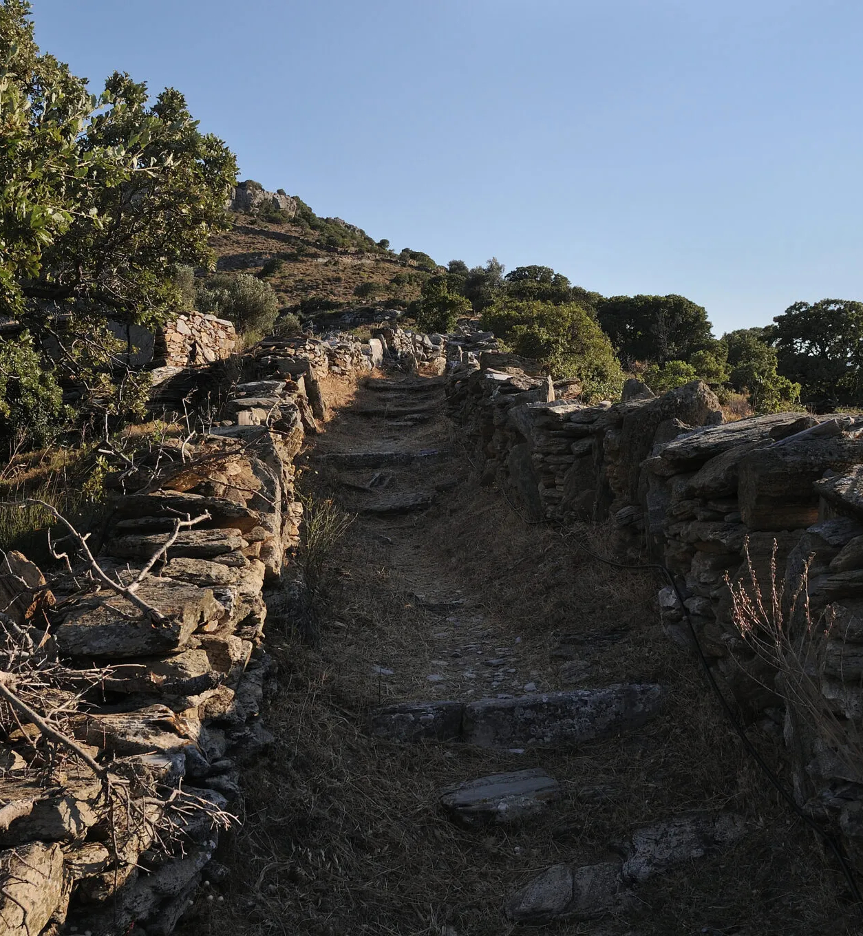
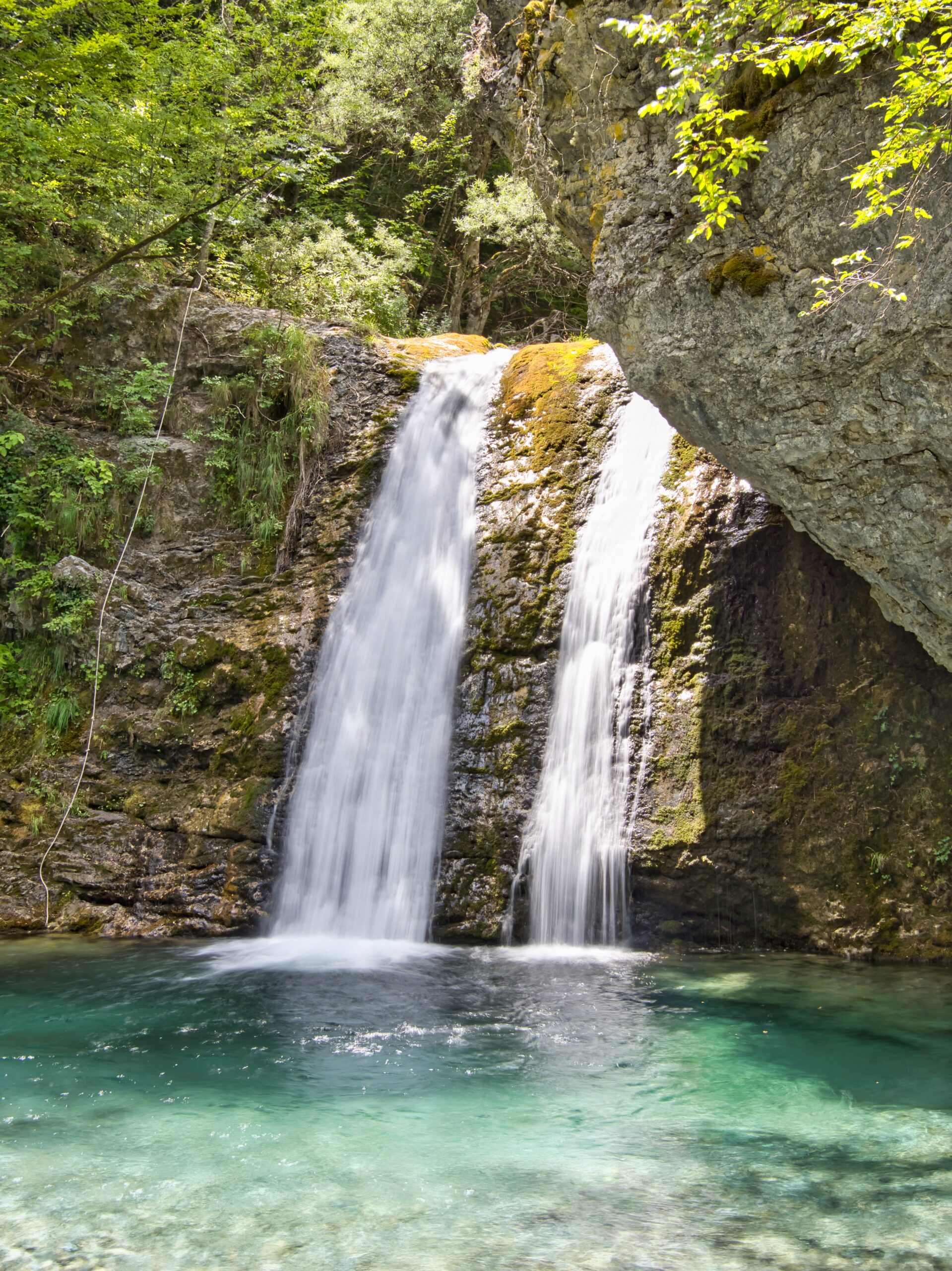
This historic Peloponnesian kalderimi leaves Kardamyli’s waterfront and climbs into the Viros Gorge, once a Spartan route. The Messinian Gulf remains visible behind you, framed by olive terraces and Mani’s stone towers. Chapels such as Agia Sofia perch above the gorge, their whitewashed walls striking against the rock. Sections can be slippery after rain, and there are no facilities along the way—carry water and food, then plan to eat back in Kardamyli.
Distance/time: Around 6 kilometer round-trip, 2–3 hours depending on turnaround point.
How to get there
Fly into Kalamata, then drive around 50 minutes south to Kardamyli (or around 3 hours 45 minutes from Athens via the A7/AKL). Park near the old village and follow signs toward Viros/Agia Sofia.
02
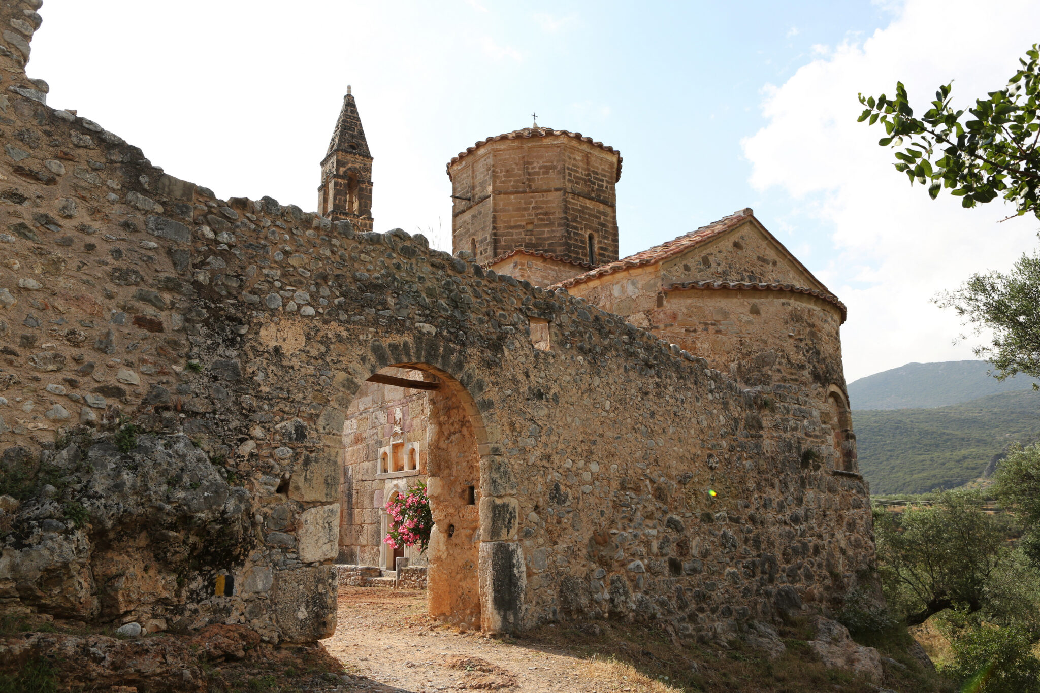
Leonidio → Elona Monastery Balcony
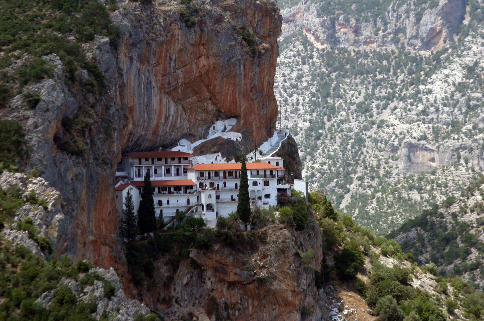
Above Leonidio, in the Parnon Range, Arcadia, cliffs shoot up directly from the Myrtoan Sea. The path winds up to Elona Monastery, built into a vertical rock face. Its balcony opens over the valley with views toward the coast and Spetses on a clear day. The climb is steep with loose sections, so caution is needed. Water is available at the monastery; for food, head back to Leonidio’s tavernas serving the area’s prized tsakoniki eggplant.
Distance/time: Around 7 kilometers round-trip, 3 hours.
How to get there
From Athens, drive around 3 to 3.5 hours via Corinth–Tripoli–Astros–Leonidio. The path begins near Leonidio’s center, with signs toward Elona.
03
Cape Tainaron Lighthouse
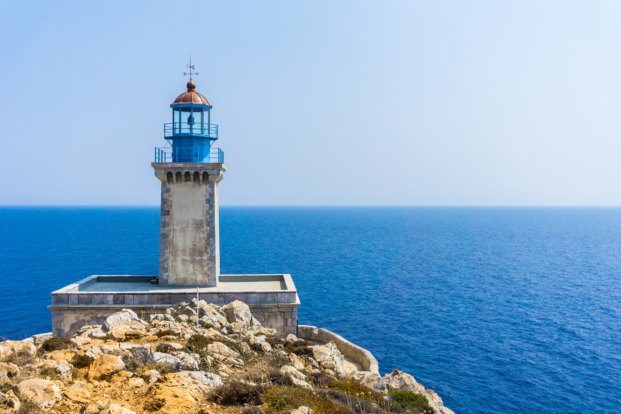
At Greece’s southernmost mainland tip, in deep Mani, a short trail leads to Cape Tainaron Lighthouse, where the Ionian and Aegean seas converge. Along the way, you pass the ruins of Poseidon’s sanctuary. On clear days, you can see both east and west Mani coasts. The path is fully exposed, with no water or shade—bring supplies and plan your meal afterward in Porto Kagio or Gerolimenas.
Distance/time: 2.5 kilometers round-trip, around 1 hour walking.
How to get there
Drive to Kokkinogia (around 1 hour 15 minutes from Areopoli). The trail begins at the small church of Asomati.
04
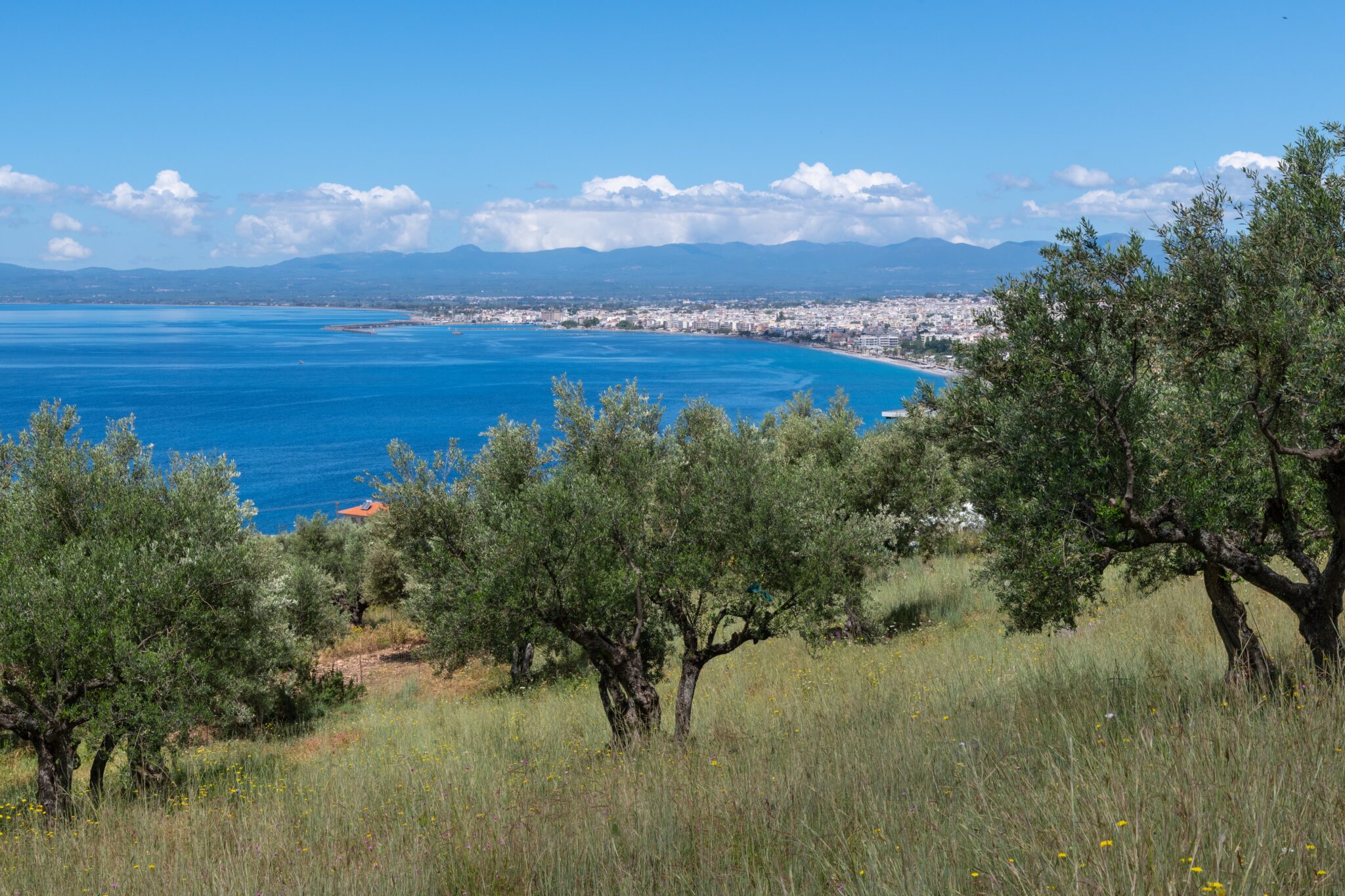
Old Navarino Castle → Voidokilia Loop
The trail climbs above Voidokilia Beach in Messinia, Peloponnese, famous for its omega shape, to the ruins of Old Navarino Castle. From the ramparts, you see Gialova Lagoon, Sphacteria Island, and the Ionian coastline stretching north and south. The path descends past Nestor’s Cave before looping back along dunes to the beach. Sandy and rocky underfoot, but manageable. No facilities on the route—carry water, then dine later in Pylos or Gialova.
Distance/time: Around 5 kilometer loop, 2 hours.
How to get there
From Pylos, drive around 15–20 minutes to Voidokilia or the castle trailhead. Waymarked paths connect fortress, cave, and beach.
05
Hydra Town → Bisti
From Hydra’s harbor, a stone-paved path hugs the coastline through Kamini and Vlychos, with constant views across the Saronic Gulf. Fishing boats and rocky islets break the horizon, while behind you Hydra’s amphitheatrical town comes into view. Beyond Vlychos the path becomes stonier as it leads to pine-fringed Bisti cove. Cafés operate in Hydra Town and Kamini, but beyond that you must carry food and water.
Distance/time: Hydra Town to Bisti is around 8 kilometers one way, 3–3.5 hours (option to return by water taxi).
How to get there
Take a ferry from Piraeus to Hydra (around 1 hour 45 minutes). Start from Hydra harbor and follow signs and red-white blazes along the coast.
06
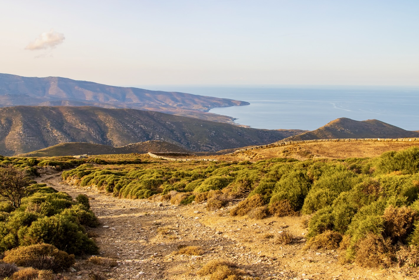
Andros Routes

Andros has the most extensive marked trail network in Greece, with 240 km restored. Coastal routes near Batsi and Gavrio combine stone paths with long Aegean views, while higher ridges give perspectives over valleys running to the sea. Spring brings flowing streams and blooming herbs; winter light makes the views crystalline. Many villages en route have cafés, but carry water for longer stretches.
Distance/time: Route 11A above Batsi is around 5 kilometers, 2 hours; longer routes vary, up to full-day hikes.
How to get there
Take a ferry from Rafina to Gavrio (around 2 hours). Buses connect Gavrio, Batsi, and Chora. Trails are clearly signposted and supported by Andros Routes maps.
07
Mt Ochi & the Dragon House
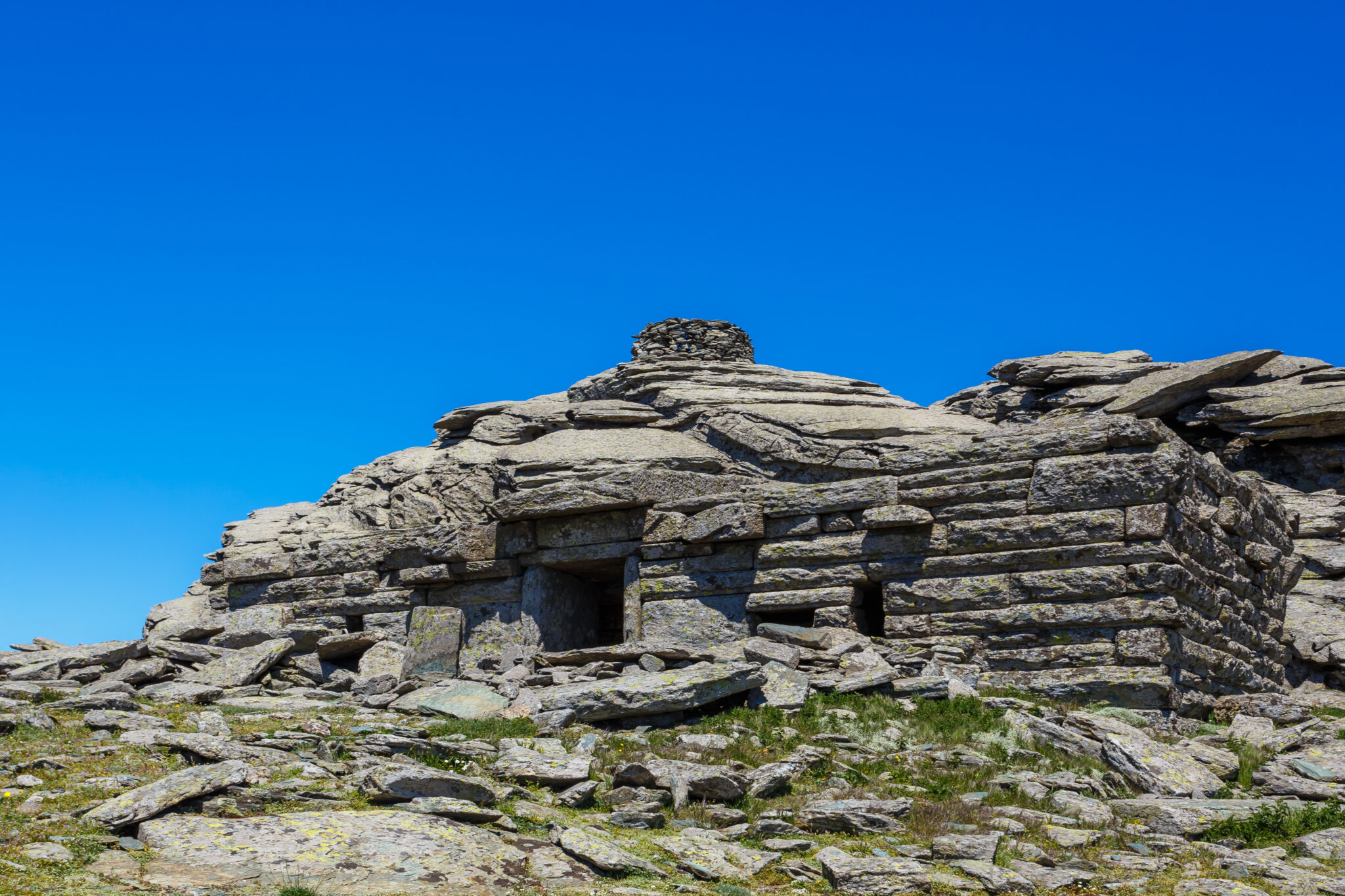
Above Karystos in Evia, the trail to Mount Ochi climbs to the summit and the megalithic “Dragon House,” a structure of massive stone slabs. From here the Aegean spreads out below, and on clear days the northern Cyclades are visible. The path is steep and often windy; there are no springs along the way. Food and water are available only once back in Karystos.
Distance/time: Around 5 kilometers round-trip, 3 hours with ascent.
How to get there
From Athens, take the ferry Rafina–Marmari or drive via Chalkida to Karystos. A mountain road leads toward the Ochi refuge, where the trail begins.
08
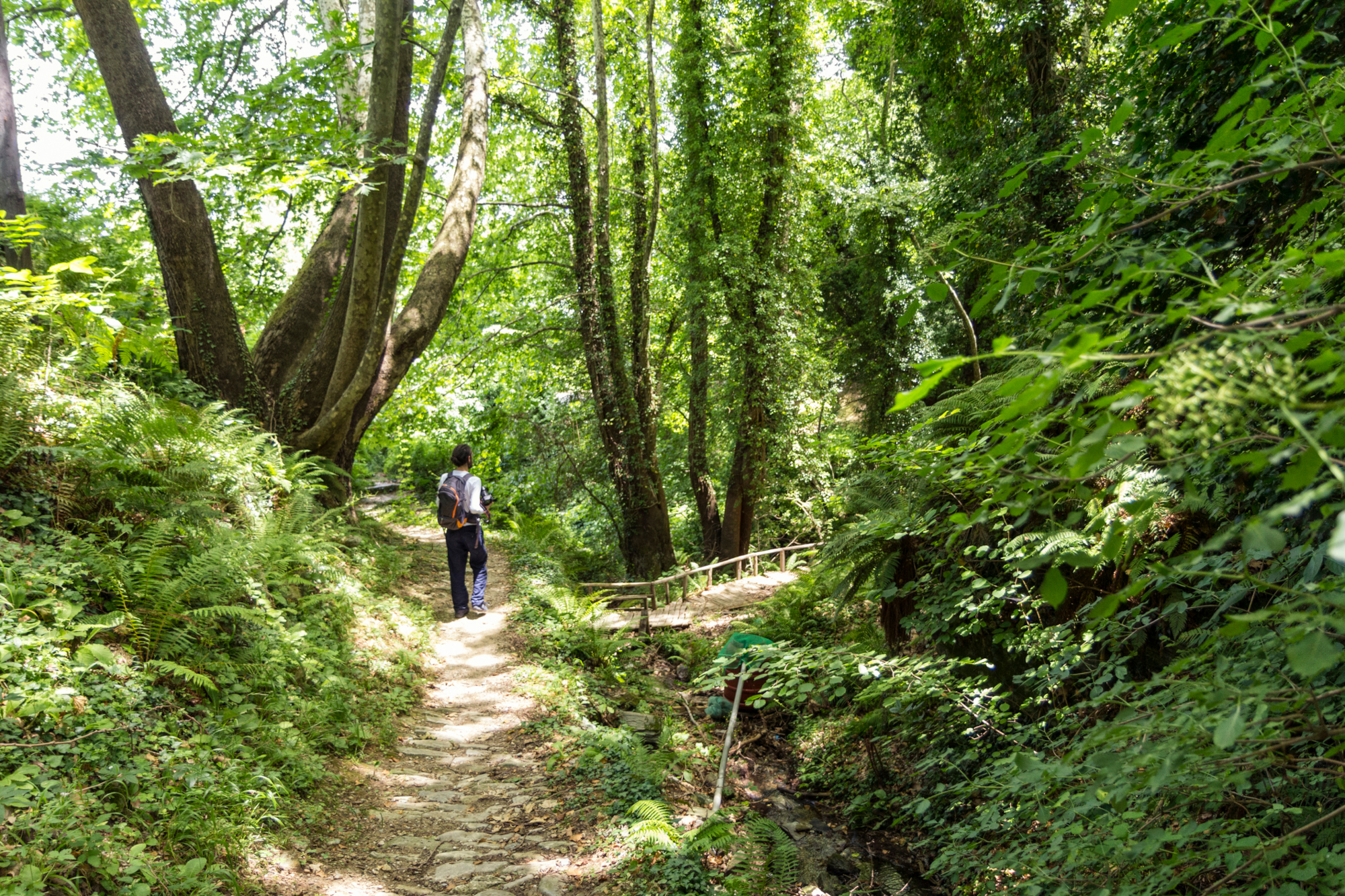
Enipeas Gorge: Litochoro → Prionia
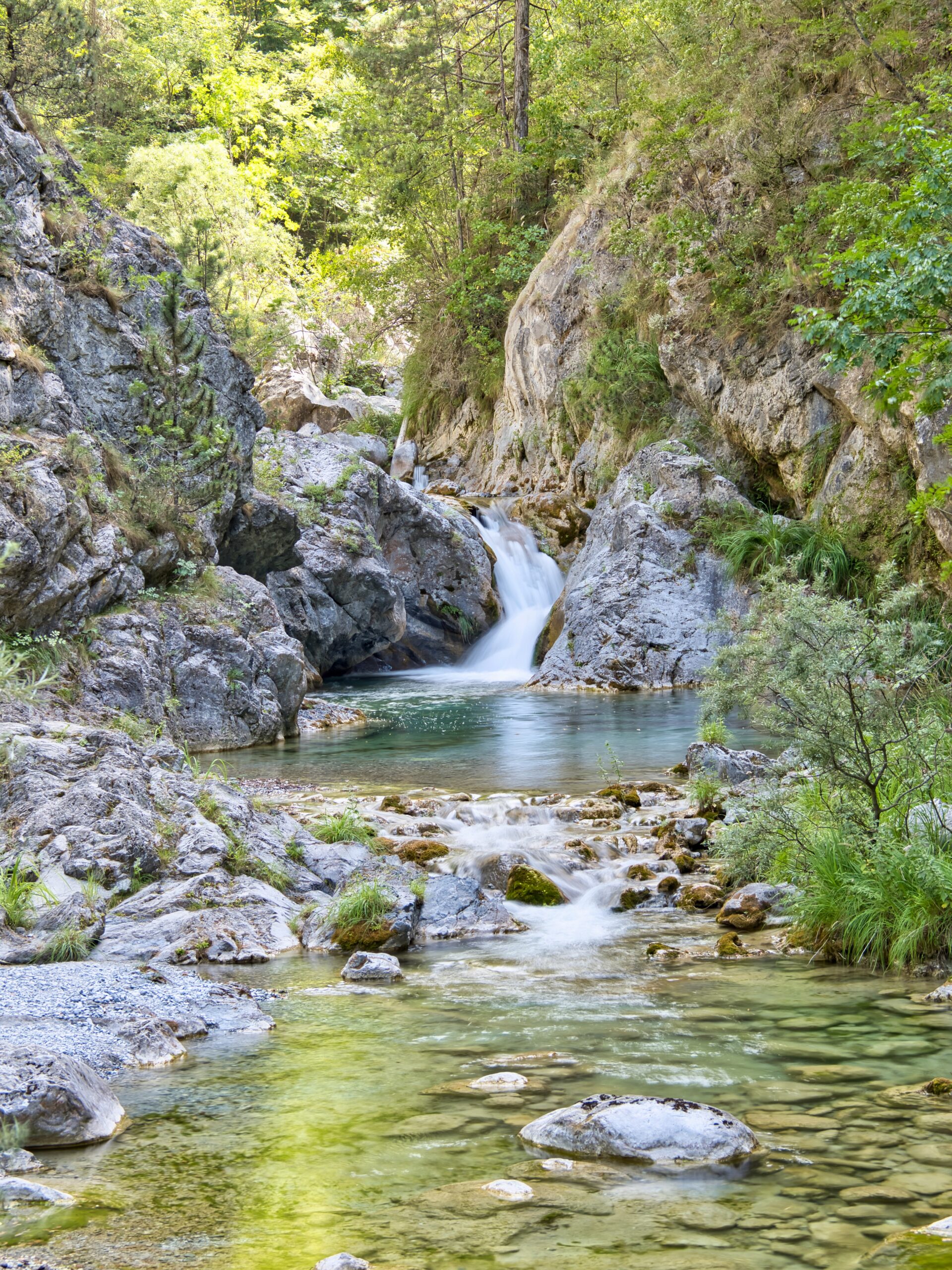
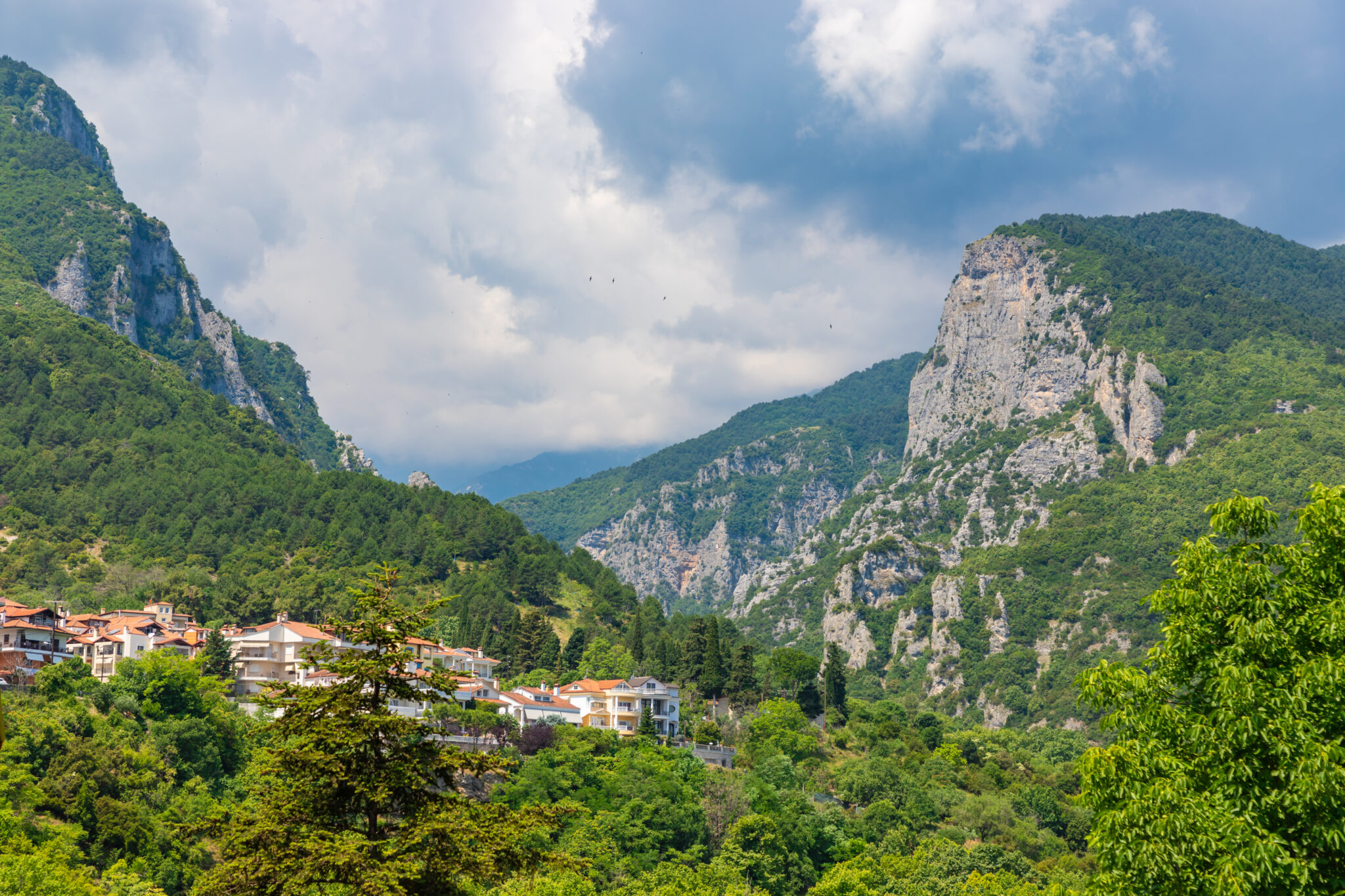
The Enipeas Gorge path begins in Litochoro, just above the sea, and winds through bridges, pools, and waterfalls to Prionia. Openings in the gorge reveal the Thermaic Gulf in the distance, while Olympus’ cliffs rise overhead. Springs provide drinking water, and tavernas operate in both Litochoro and Prionia. The hike is long but steady, with no technical sections.
Distance/time: Around 10 kilometers one way, 5–6 hours.
How to get there
From Athens, drive around 4.5 hours to Litochoro (or 1.5 hours from Thessaloniki). The E4 is signed from Myli near the old Monastery of Agios Dionysios to Prionia.
09
Mt Dikeos Summit
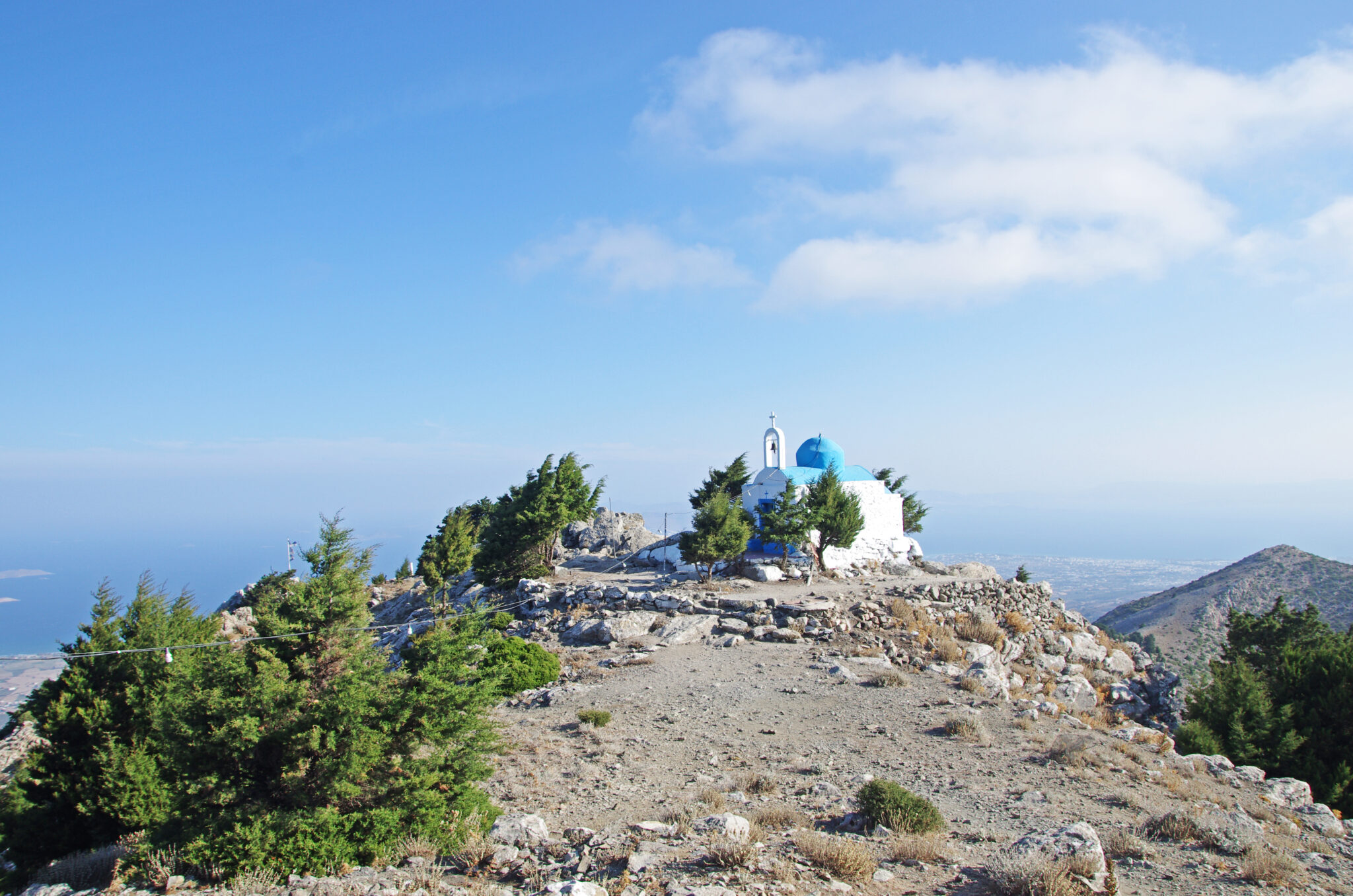
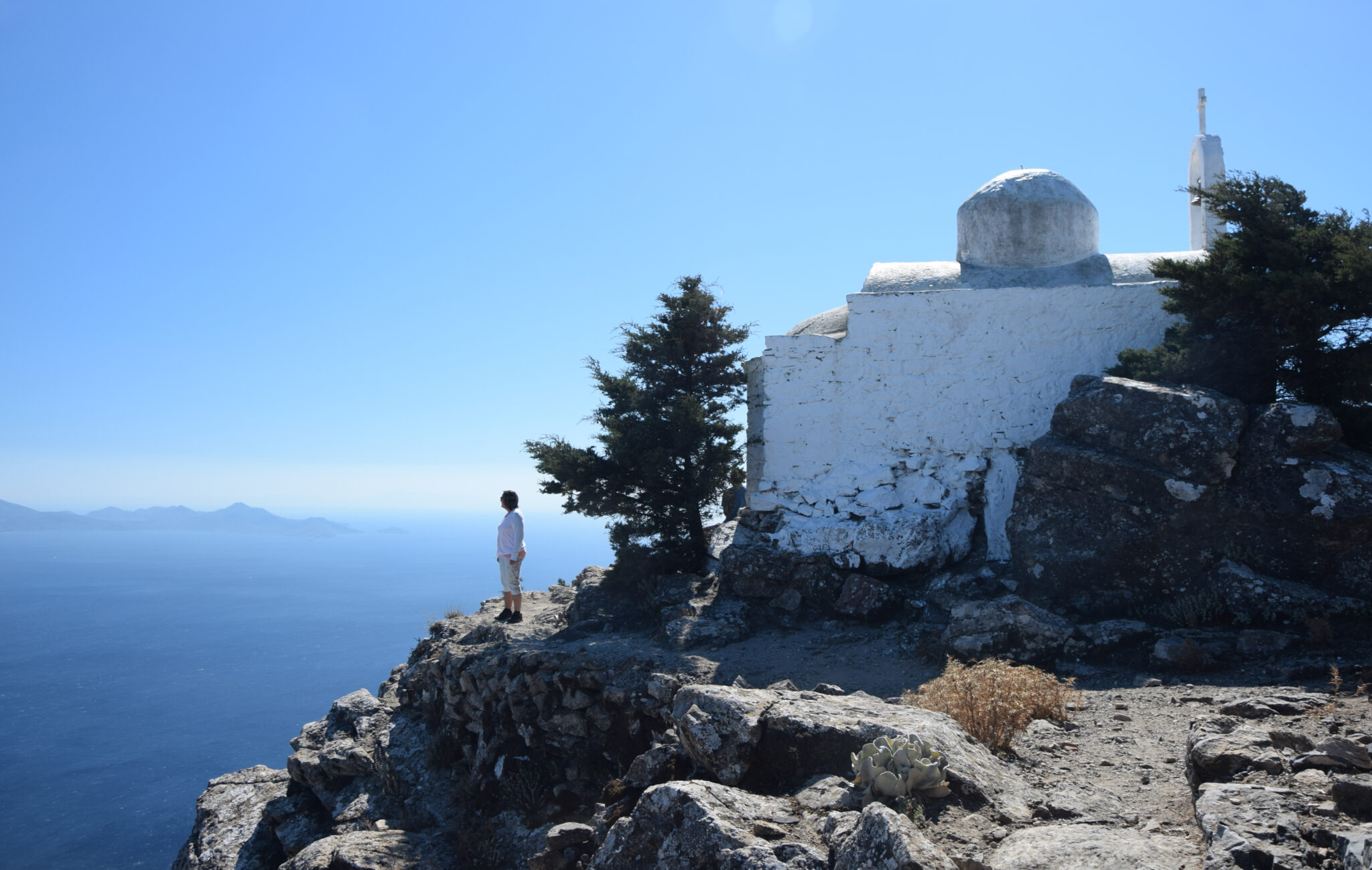
From the village of Zia, a marked path climbs through pine forest and open slopes to the highest point on Kos, Mount Dikeos (846 m). At the summit chapel of Christos Dikeos, the view stretches across the Dodecanese, with Kalymnos, Nisyros, and even the Turkish coast visible in clear weather. The trail is straightforward but uphill, best in autumn, winter, or spring when the air is cool. Zia has tavernas and cafés for before or after, but there are no facilities on the mountain itself.
Distance/time: Around 7 kilometers round-trip, 3–4 hours.
How to get there
From Kos Town, drive around 20 minutes inland to Zia. Park in or above the village and follow signs pointing to the Dikeos trail.
10
Tsagarada → Damouchari
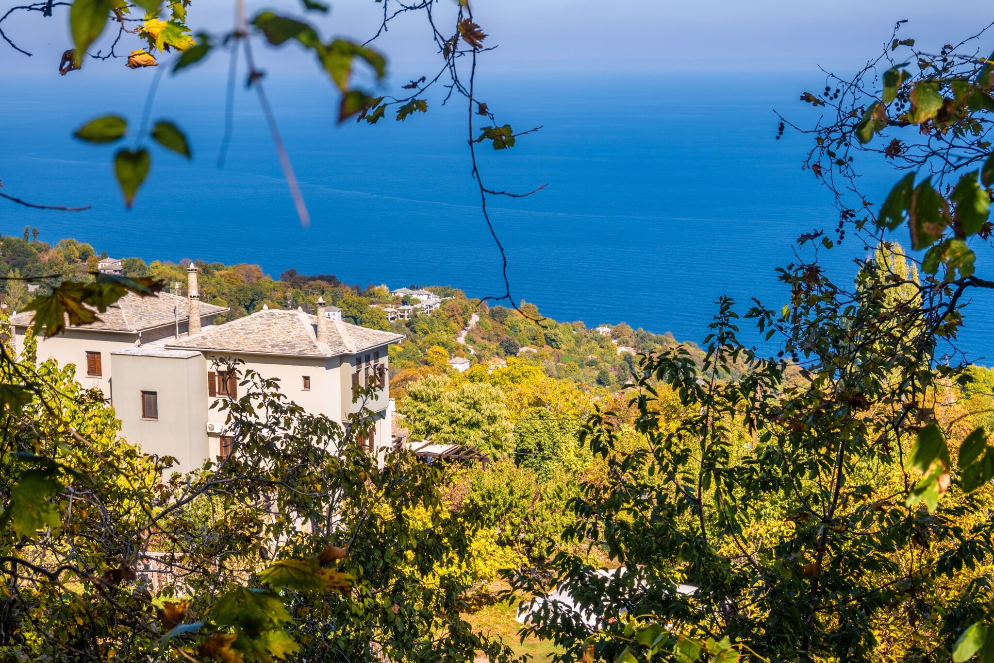
From Tsagarada’s chestnut forests, a stone kalderimi descends to the Aegean at Damouchari in Pelion, Thessaly, a tiny port of whitewashed houses and pebble beaches. The path threads through wooded slopes before revealing coves and steep green hillsides dropping straight to the sea. It’s particularly atmospheric in autumn, when fallen leaves cover the cobbles, or in spring with the forest in bloom. Surfaces can be slick when wet. No facilities mid-route, but both Tsagarada and Damouchari have cafés and tavernas.
Distance/time: Around 5 kilometers one way, 2 hours.
How to get there
From Volos, drive around 1 hour 45 minutes to Tsagarada. Park near Agia Kyriaki square and follow the signed stone path down to Damouchari.