


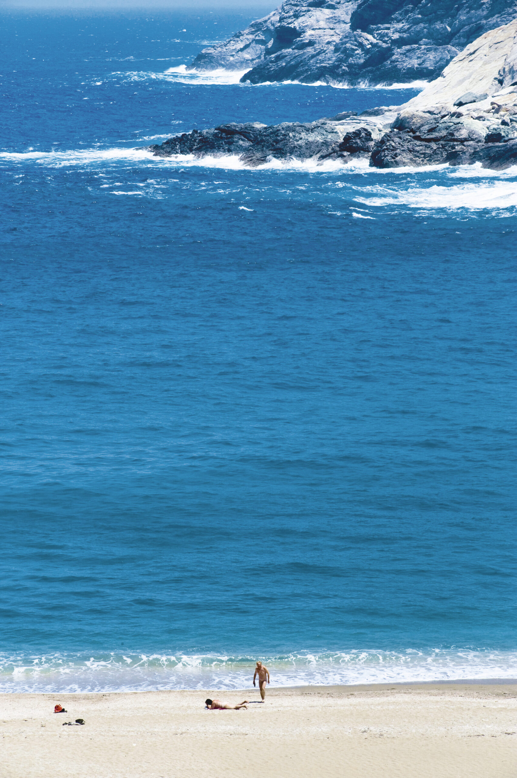
No matter how many times you’ve been to Andros, just one to two hours away by boat, there’s always something unexpected waiting to be discovered. The entire northwestern region of the island is a dream for explorers, crisscrossed with dirt tracks and centuries-old footpaths. Inland villages conceal their own quiet treasures, far from the polished trails of typical Cycladic tourism.
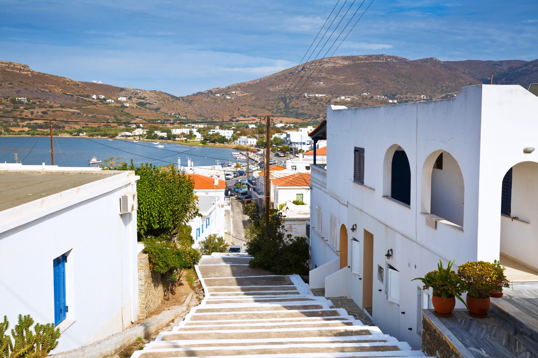
This part of Andros is best explored with a 4×4, as dirt roads dominate the terrain. Your journey begins in Gavrio, the island’s main port.
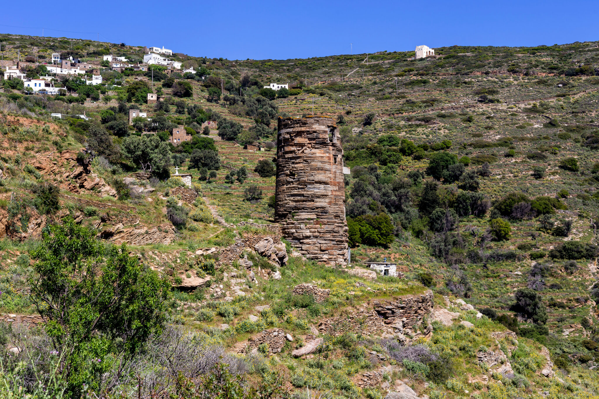
Just beyond it lies the village of Agios Petros, home to the striking ancient tower of the same name — a Hellenistic watchtower believed to have been built between the 4th and 3rd century BCE. It’s among the best-preserved of its kind in the Cyclades and was once used to spot approaching pirates.
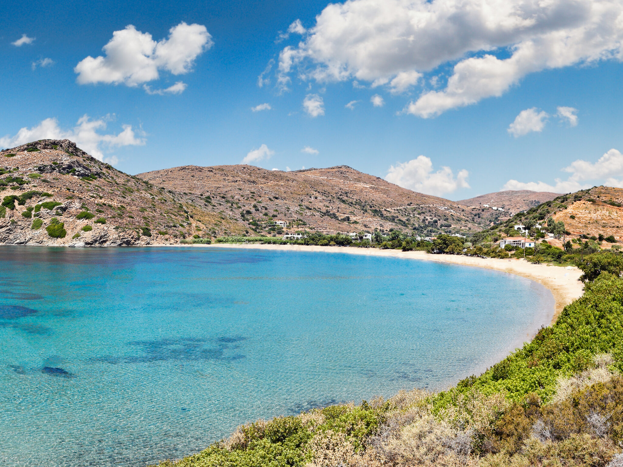
From here, take the inland route toward Vitali beach, driving through a stark, arid landscape. Along the way, you’ll glimpse the 17th-century church of Pantokratoras, rising stoically to the right of the road.
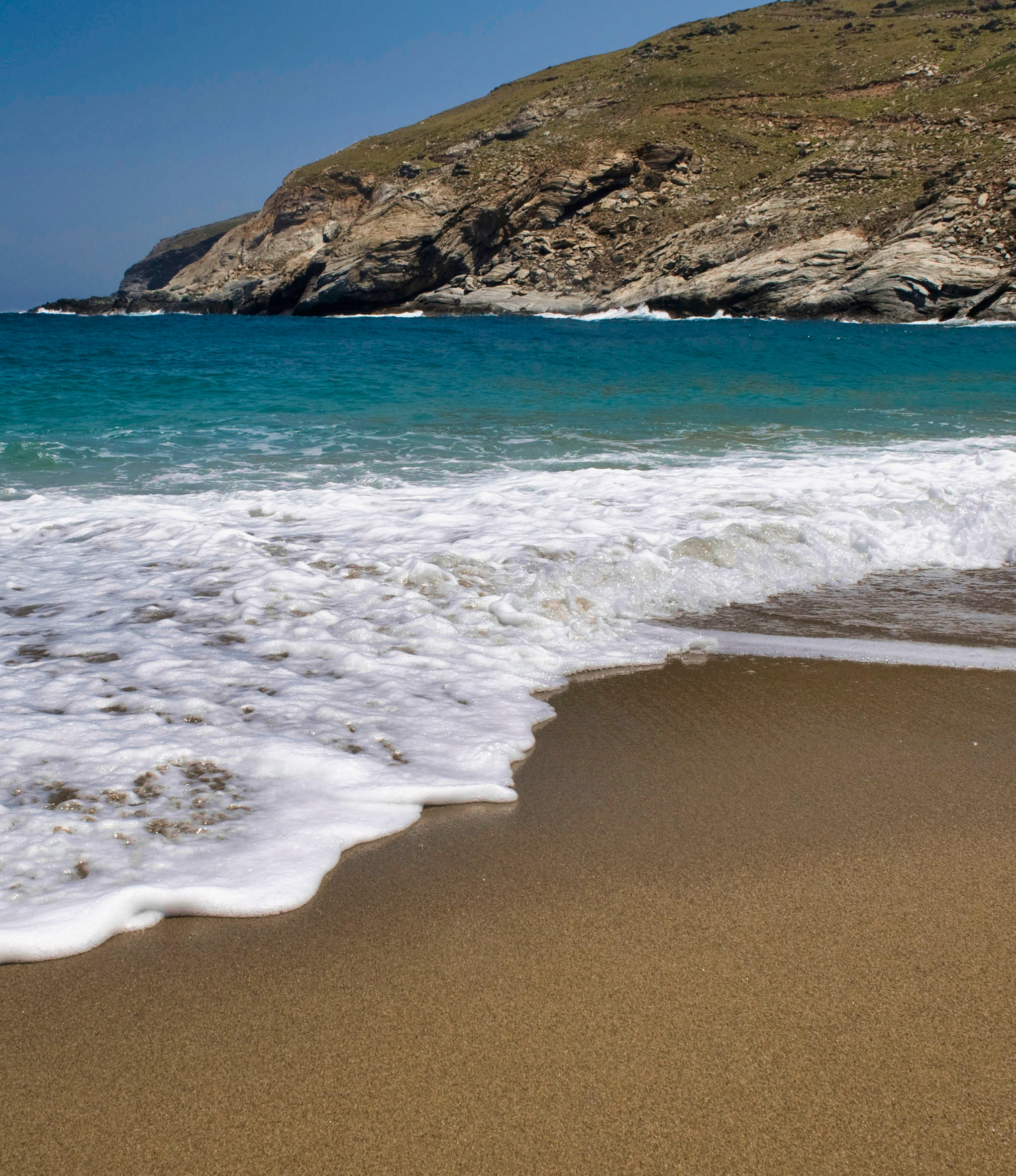
The dirt road from Kato Fellos leads to Fassa Lighthouse, meandering past the quiet beaches of Pisolimionas and Vlychada. From Pano Fellos, you can head down to the remote beach of Zorkos or detour toward the agricultural hamlets of Kolivari and both Ano and Kato Varidi.
One of the larger villages in the area is Amolochos, notable for its charming public fountain known as Mouria, built in 1882. Don’t miss the 17th-century Tower of Giannoulis, another relic of the island’s layered past.
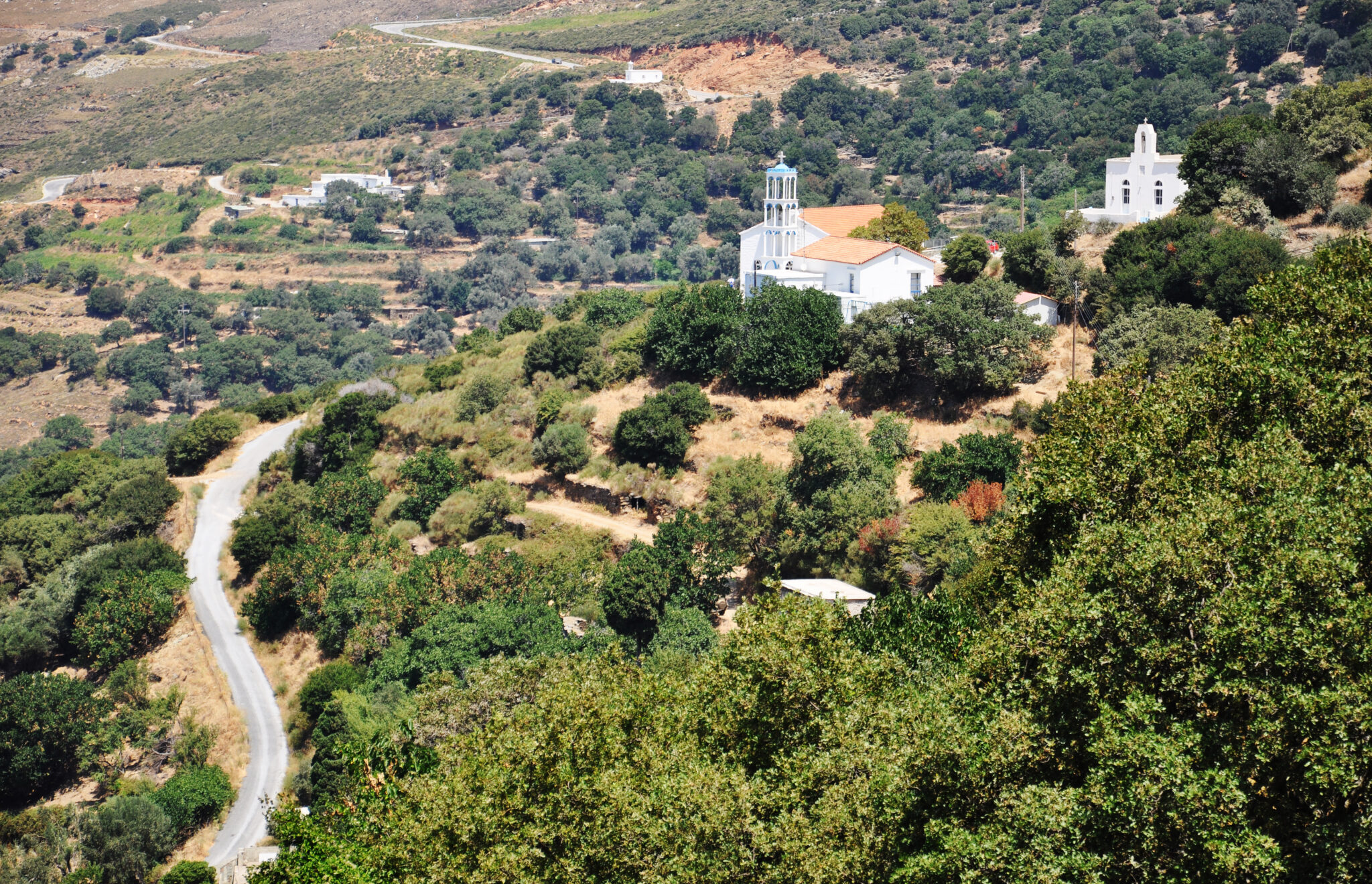
In the village of Strapouries, where lush greenery, running water, and historic churches abound, there’s a dramatic vertical rockface called the Gremnistra that’s always wet due to a natural spring. But the real secret lies just off the main road: the haunting Tower of Athineos. Built in the 1920s by Ioannis Athineos, a wealthy Andriot who made his fortune in Egypt, this grand neoclassical residence – with its turrets, crests, and sprawling overgrown estate – once stood as a symbol of opulence. Today, it’s abandoned, looted, and slowly being reclaimed by nature.
The island’s historic watermills, most of which date to the early 19th century, are a testament to Andros’ abundance of freshwater. According to old records, there were once 43 in the Korthi area, 50 near Chora, 14 around Arni, and 26 in Amolochos.
You can still find many of these pre-industrial relics along the paths between Vouni and Syneti (in Korthi), around the village of Frouseoi (near Amolochos), in the Dipotamata Gorge, and beside the stream of Megalo Rema.
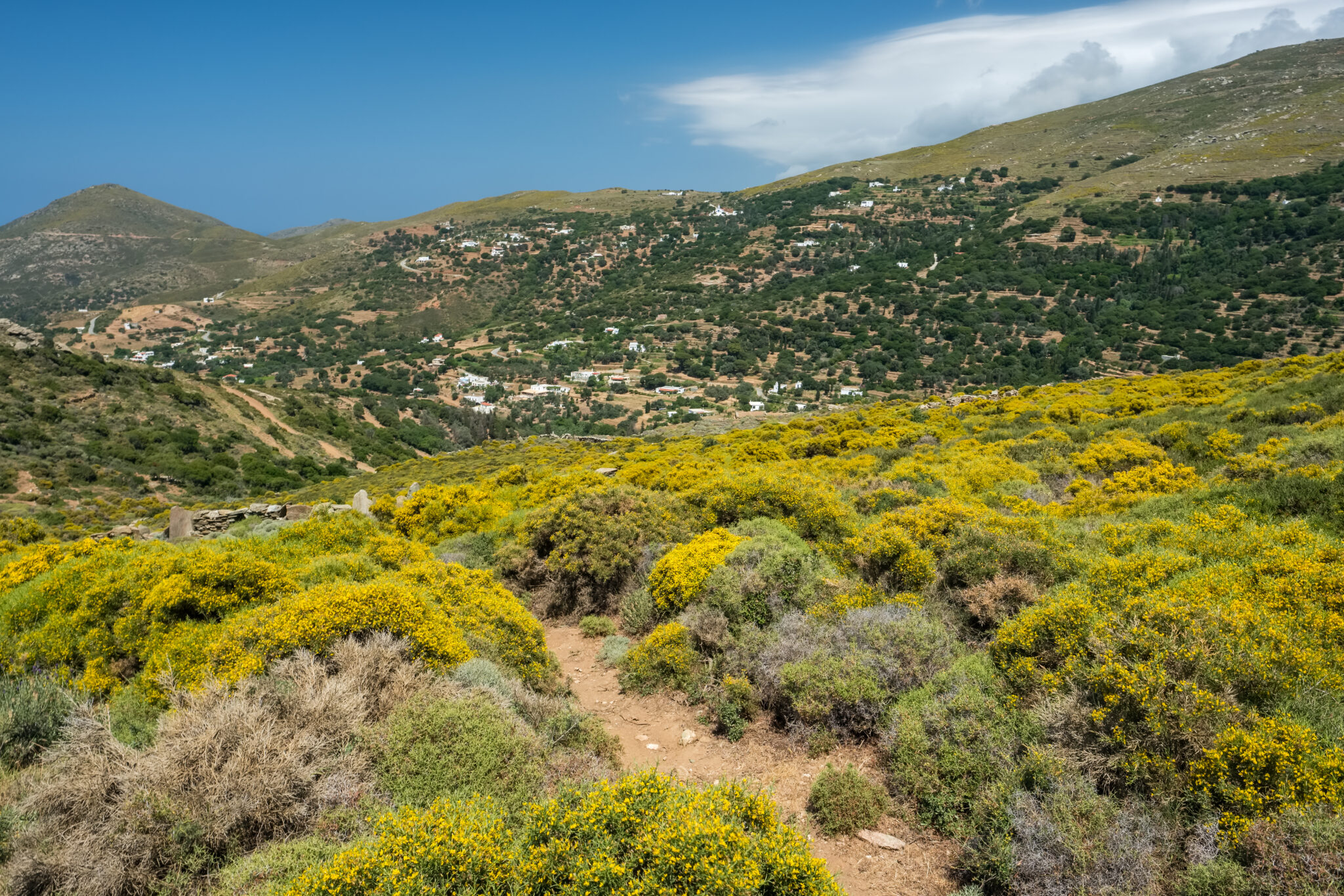
The village of Arnas (also known as Arni) was founded by Arvanites and sits high in the island’s mountainous interior, much like its neighbor Vourkoti. Once a thriving agricultural hub thanks to its fertile soil, Arnas was the beating heart of the region.
Follow the winding asphalt road toward Batsi and you’ll enter the verdant oasis of Remata (or Revma), a quiet area thick with plane trees, cypresses, and olive groves. Camellias and enormous hydrangeas decorate the courtyards of the scattered homes.
At the far end of the valley, you’ll find a spring to your left. Park the car and follow the shady trail along the stream, where rock pools glisten in the dappled light. The path leads to the restored Lebesis olive press, and eventually up to Arnas itself – a walk through time, soundtracked by the whispers of running water and rustling leaves.