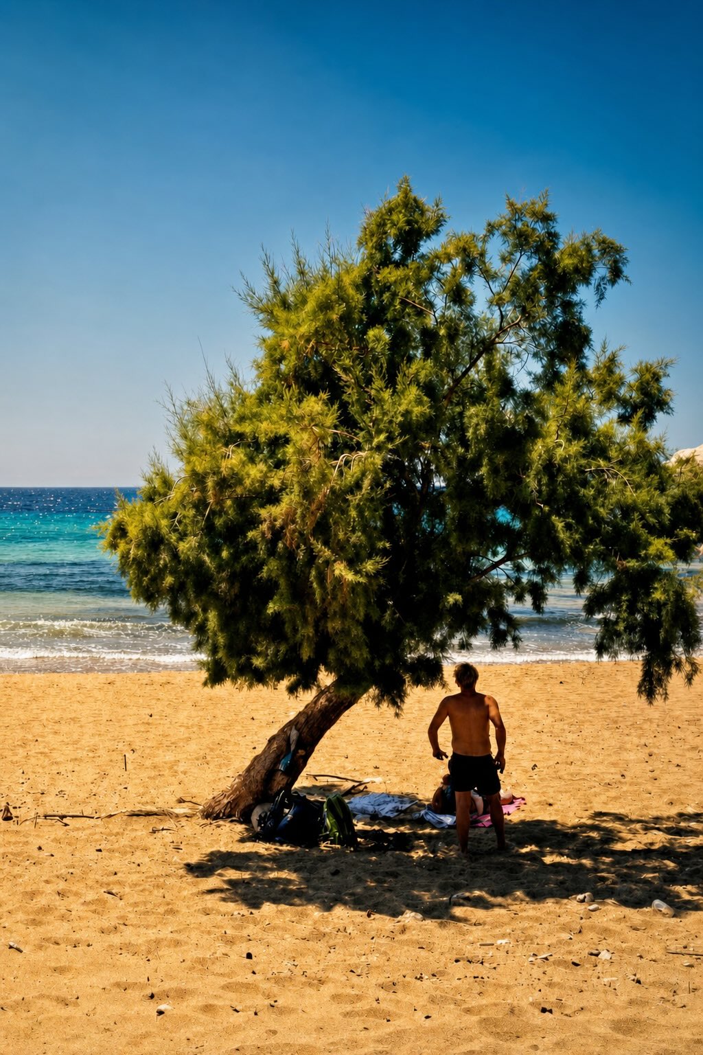


It has rivers, gorges, verdant forests with rare trees, alpine lakes, and diverse fauna. Zagori is a place that hides surprises and invites you to discover it, providing the perfect opportunity to come closer to its rich nature that, through its constant regeneration, is showing us the way during this time of changes.
Zagori requires walking: you need to explore, it requires time, but it definitely rewards anyone who will take the time. The trails are so many that it’s certain that everyone will find one that suits them, their skills and their mood. We’ll present some trails below.
Before we start, we must mention that being on the mountain requires skills and the appropriate guidance by trained instructors and guides that will help you truly enjoy the experience. We explored the trails with the guidance of Trekking Ioannina and apart from the great trails we learned a lot of information about the area.

Vikos-Megalo Papigo
Start at the entrance of Vikos, at the distinctive roofed stone fountain where you’ll find signs for the walking trails. Head downhill at a small gradient, and at one point you’ll reach the edge of the rocks. There, you’ll see a stone altar. Continue on the downhill course, walking carefully at the cliff’s edge, on a trail that leads to steps.
After walking for almost 30 minutes, you’ll come across a small junction. It’s worth going left here, as in about ten minutes you’ll reach the gorgeous Panagia church, on Voidomatis’ banks. The view is a great reward. Then return to the main trail and head towards Papigo.
After about 5 minutes’ walk you’ll meet another junction. The signs show the way: you can either head straight, through the gorge towards Monodendri, or left towards Papigo. Chose to head to Papigo and around 60-70 m later you’ll see water coming out of the earth. The next part is hard, and you need to be fit to continue. For the next hour the path is uphill, and the rocks create unique natural formations.
Continue uphill, on a trail that’s part dirt, part gravel and part stone steps. The landscape changes and gradually you’ll find yourself walking in a lovely oak forest at a very small pleasant gradient. At yet another junction, choose the road on the left that leads to a dry, stone fountain. You’ll end up between the two villages and can choose where to go – to the Mikro or the Megalo Papigo.
Trail information
Length: 5,5 km
Duration: about 3 hours
Altitude: between 496 m and 926 m.
Marked: yes, with informational signage
Extra info
We must mention that it is a challenging trail as it includes a wide gradient variation, that makes going uphill hard. Another element that you should factor in is that depending on the season the river’s water might make it hard to walk on its banks.

Vradeto Steps-Kapesovo
This is one of the most popular trails that includes the famed Vradeto Steps – one of the most interesting constructions in the area. These famous stairs comprise of more than 1500 steps and 39 turns. It’s in a great condition, while since 1973, it was the only connection between Vradeto and the other villages.
The trail starts at the lower end of the Vradeto square. Walk on the cobbled alley, and after around 250 m, turn right on a dirt road that leads to a chapel. A few metres later, follow the road to the right and you’ll come across the first steps. The image is unique, as a large part of it spreads in front of you, allowing you to see the terraces and arches. In addition, the view from there is stunning, both of the mountain Peristeri and of Mitsikeli.
Then, go down towards the Mesaria gorge, where, through an old stone bridge – that is now covered in plants – you’ll cross to the other side. Then, you’ll come across another stone bridge, larger than the one before. That’s where the uphill path begins, through a new cobbled path that leads to the dirt road and then to the main road that links Vradeto to Kapesovo.
Trail information
Length: 3,6 km
Duration: 1 hour and 30 minutes
Altitude: between 1080 m. to 1335 m
Marked: Yes

Papigo bridge-Klidonia Bridge
This is an easy trail with equally beautiful nature to the other, harder, trails in the area. Walk on the banks of Voidomatis on rocky terrain at times, and under the plane trees at others.
Start at the concrete bridge of Papigo, right below the Aristi village. Crossing the bridge by car (in the direction of Papigo) the trail starts on the first right turn of the road. You’ll see the signs.

After 200 m, on the left part, you’ll come across an old, half-collapsed bridge. Stay on the easy path and gradually you’ll be surrounded by a plane forest. You’ll reach the banks of Voidomatis where a wooden staircase will help you go up the slope. A bit further down the trail, a similar staircase will lead you to the highest point of the trail, where you can enjoy the view. Continue walking parallel to the river, until a sign shows the way to the Agii Anargiri monastery: a Byzantine church with old frescoes.
Then, returning to the junction towards the monastery, continue walking by the river, while a bit higher up, you’ll pass the location “Klidi”. Stay next to the river, until you reach a cobbled alley that leads outside the gorge.
Trail information
Length: 5,3 km
Duration: 1 hour and 45 minutes
Altitude: between 420 m and 470 m
Marked: Yes
We’d like to thank Trekking Hellas Ioannina for their invaluable help in the completion of this hikes.
Telephone: (+30) 26510 71703
Mobile: (+30) 6944 750009
E-mail: ioannina@trekking.gr