Numerous articles and encyclopedic websites like to describe Kyra Panagia as a “deserted island”, or more specifically, as the largest of the deserted islands of the Northern Sporades that make up the Alonnisos Marine Park, one of the most significant refuges for the famous, but endangered, Mediterranean monk seal. Yet, it is anything but.
Kyra Panagia may not have settlements or organised community life, but it is not uninhabited, as in 2001, 10 inhabitants were recorded in the official census. Today this number has fallen below the double-digit mark, and in 2021, the island was recorded as having 3 permanent residents: the monk of the Monastery of the Nativity of the Virgin, along with two farm workers associated with a cheese-making business in Almyros, in Magnesia.
Moreover, if you find yourself on this islet at the height of the Greek summer, you’ll discover that you’re not the only visitor: many come here for the Kyra Panagia monastery, and a dip in the deep blue waters, making the most of the tourist boats that ply these routes. There’s also a flood of visitors on the first weekend of every September when the monastery celebrates its feast day, attracting pilgrims from all over the Sporades and Magnesia.
The island’s past and a spectacular monastery
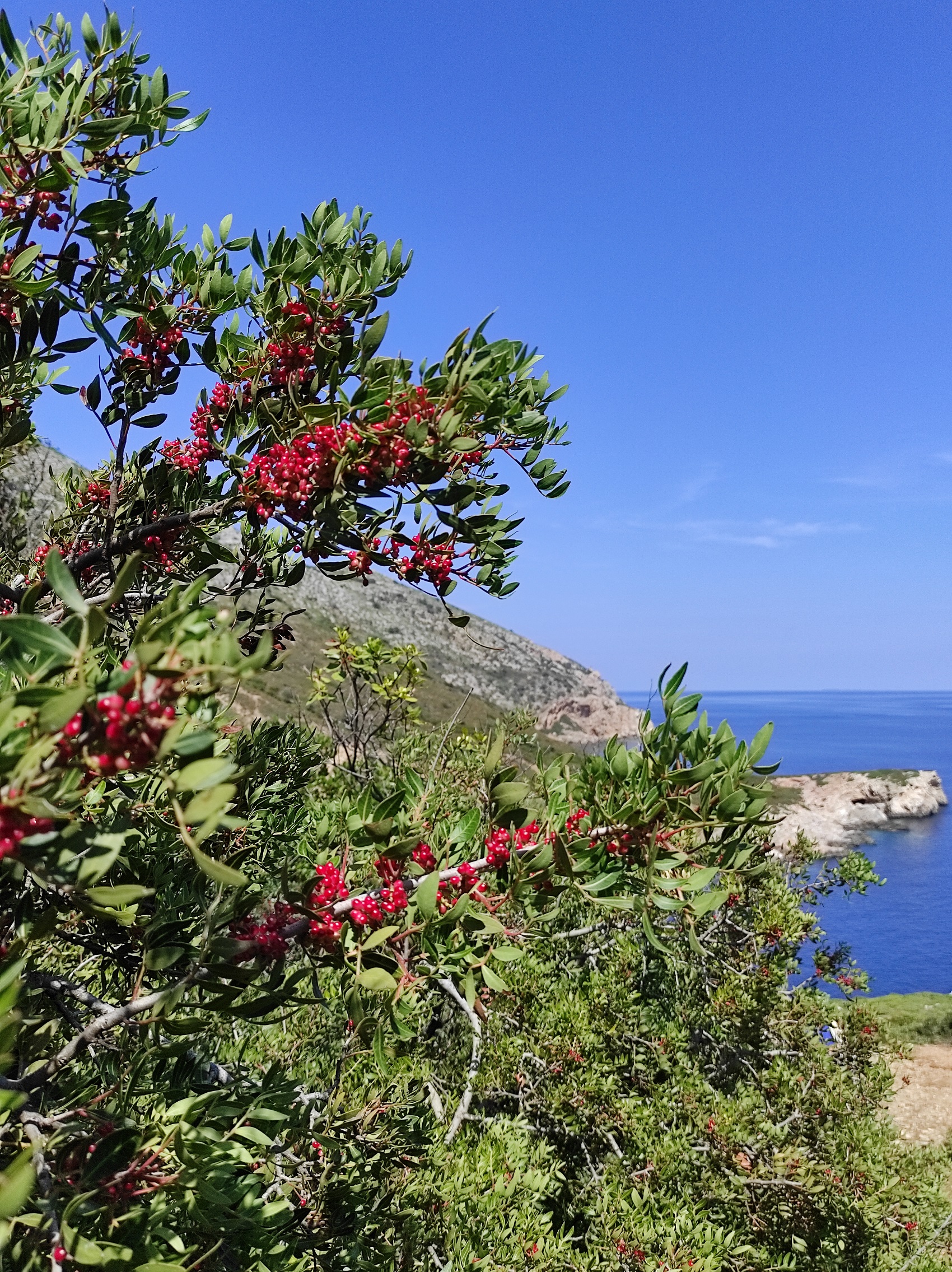
Kyra Panagia is located to the northeast of Alonnisos, spanning an area of 24.97 sq. km, and is not a barren island. Upon arrival, you’ll see quite a few olive trees, although the terrain is predominantly covered with low vegetation (common to the Mediterranean) and various shrub species, with the mastic tree, Arbutus unedo, heather, and strawberry trees reigning supreme (there is even strawberry arbutus). The landscape, in general, is hilly, with altitudes ranging from 169 to 302 metres.
The area was first inhabited much earlier than most people imagine, as revealed when archaeological digs unearthed traces of a Neolithic settlement (from around 6000 BC) in the bay of Agios Petros. The majority of it now lies submerged five to seven meters beneath the surface of the sea – a feature that attracts diving enthusiasts – but it appears to have been inhabited for about a thousand years. In classical antiquity, two fortified settlements were established at Kyra Panagia’s natural harbours (which became a bone of contention between Athens and Macedonia), while agricultural activity also developed inland. Some even speculate that the ancient city of Alonnisos (not the present-day island of the same name) was situated here, although this theory is yet to be proven.
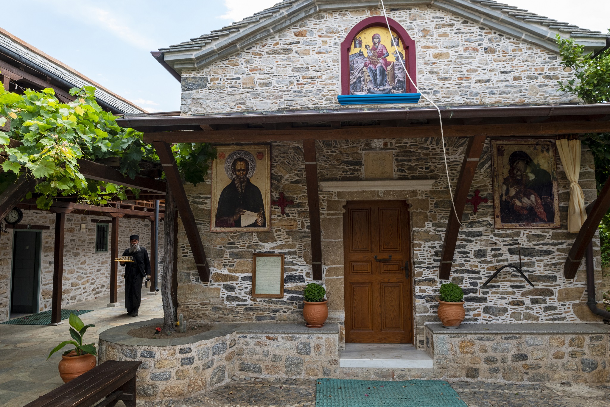
Inhabitation seems to have been continuous up to the beginning of the Byzantine period, judging by various remnants dating to the 6th and 7th centuries AD. Over time, the island became known as Pelagonisi (or Pelagos, as written on some maps), but over the years, the vernacular name of Kyra Panagia prevailed, honouring the monastery that was built there in dedication to the Nativity of the Virgin Mary. This monastery is inextricably linked to the modern identity of Kyra Panagia, and continues to be accessible to visitors, despite being situated within the protected National Park of Alonissos. The story begins in 993, when Saint Athanasius – in search of a place capable of supplying Mount Athos with olive oil, wheat, honey, and meat – purchased the island from the monks residing in the bay of Agios Petros, who desired to leave due to escalating pirate activity in the North Aegean.
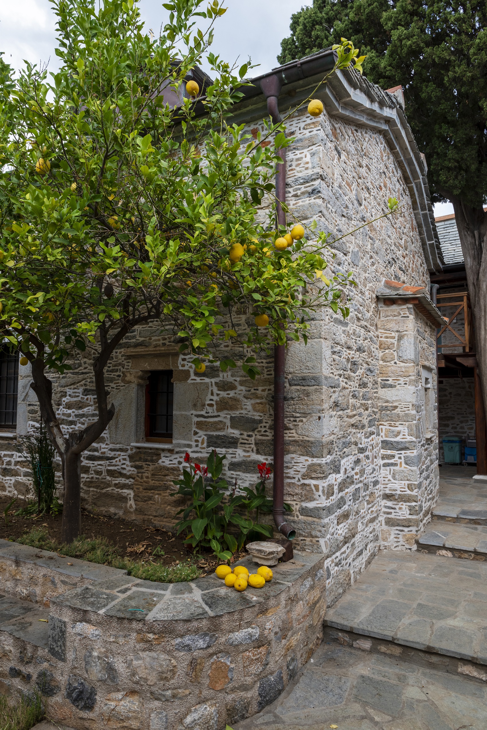
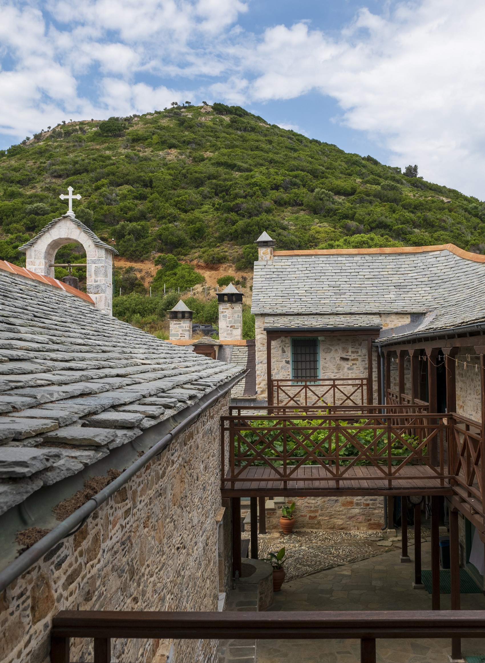
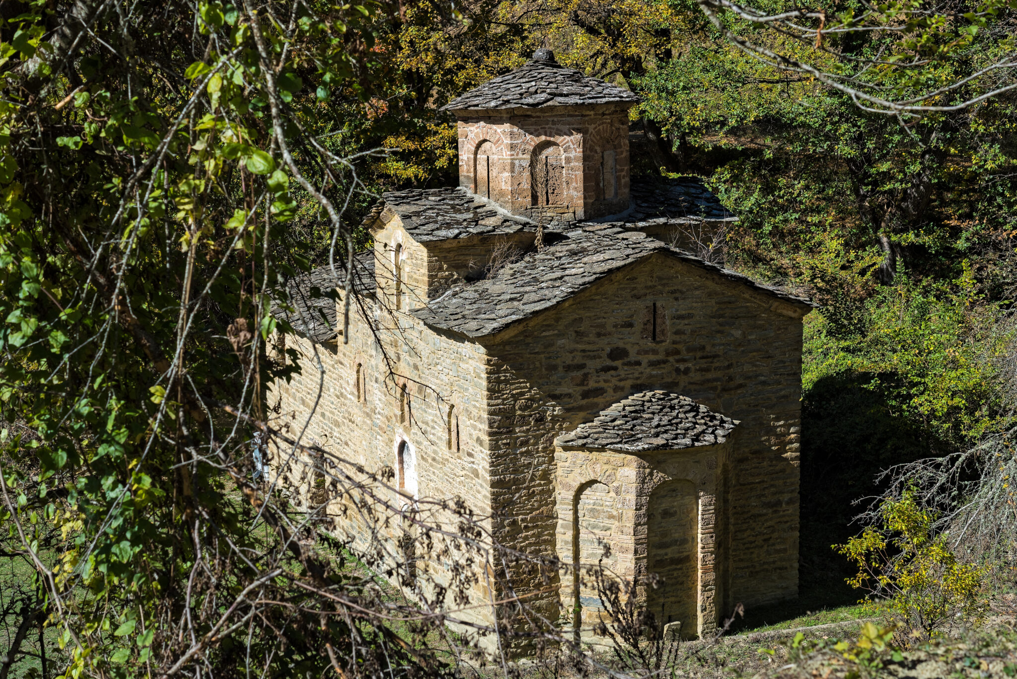
Since then and until the present day, Kyra Panagia has remained the property of the Megisti Lavra Monastery of the Autonomous Monastic State of Mount Athos, which uses it as a ‘metochi’, or dependency, leasing it to those interested in developing agricultural and pastoral activities on its lands (in the past, there were also vineyards, of which very few remain). While it is sometimes written that the Monastery of the Nativity of the Virgin Mary was first established around 1100, both the church that one sees today on the southeastern side of Kyra Panagia and the adjacent buildings are clearly of post-Byzantine character, dating back to the 17th century.
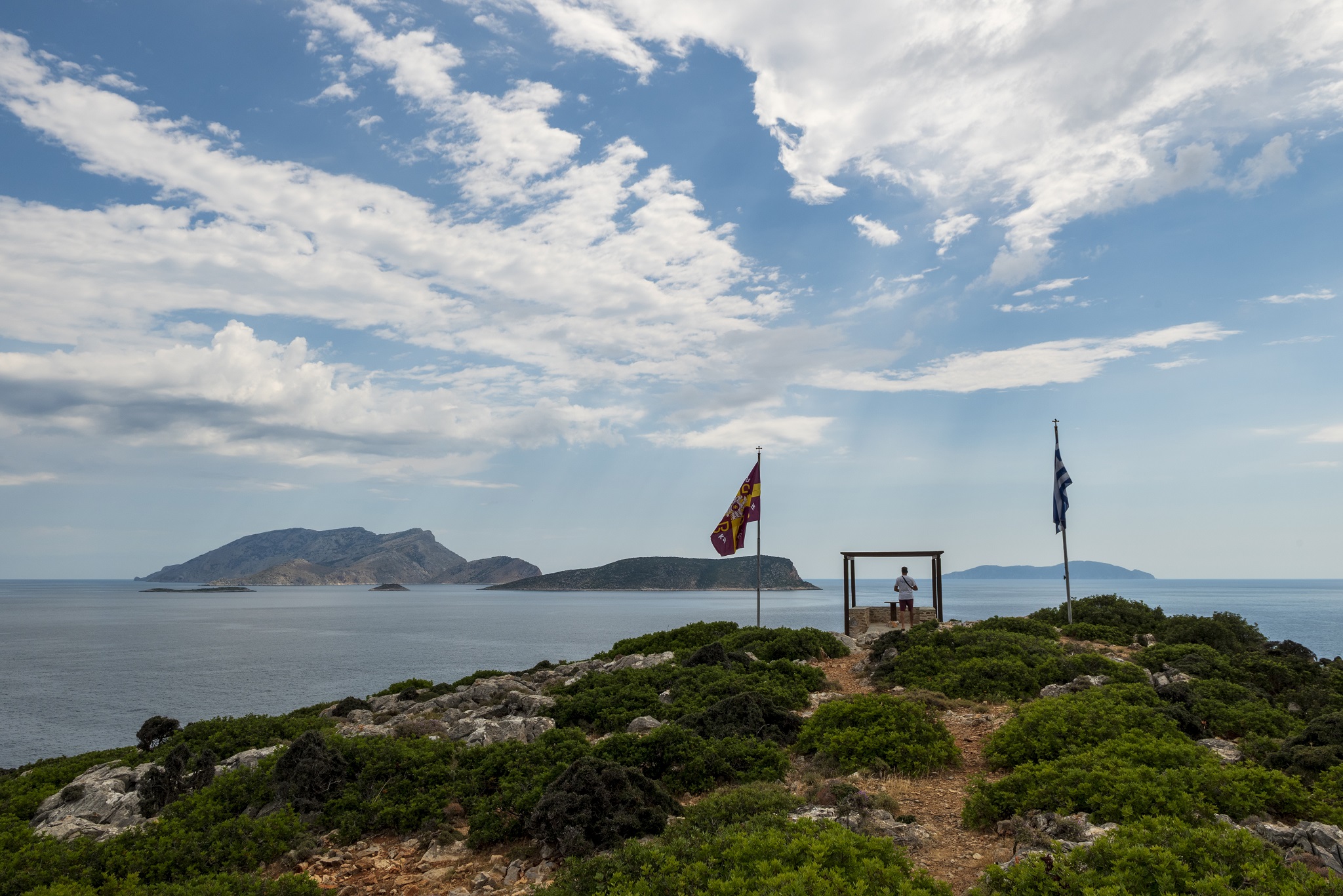
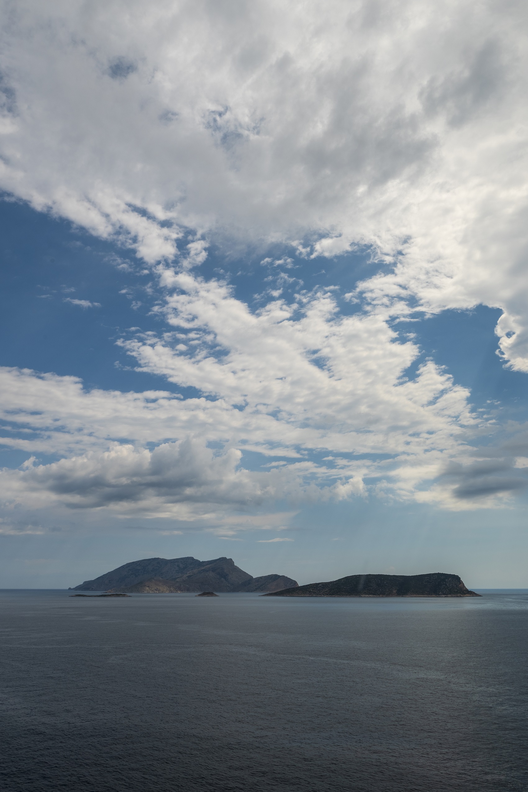
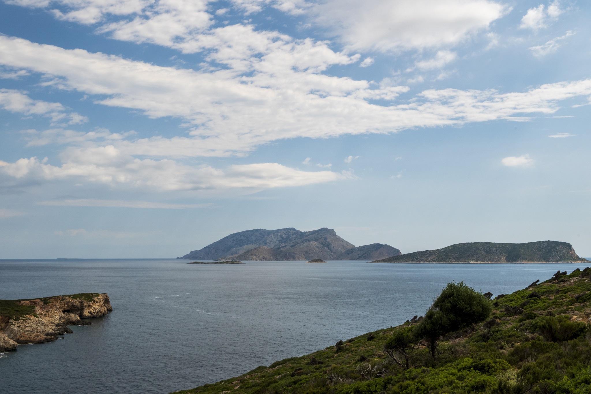
The buildings were renovated in 1992 through a donation from the shipping magnate Andreas Potamianos’ family, which allows modern-day visitors to observe the old monks’ olive press and their flour mill. Above all, however, the vista is what truly captivates. Built at the island’s highest point, the monastery overlooks an enthralling seascape, dominated by the opposite islet of Gioura and the rocky islets of Grammiza and Pappous. One can see as far as secluded Piperi.
Hiking and swimming at pristine beaches
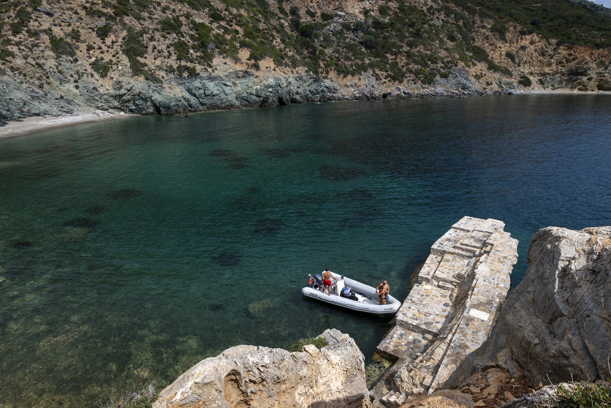
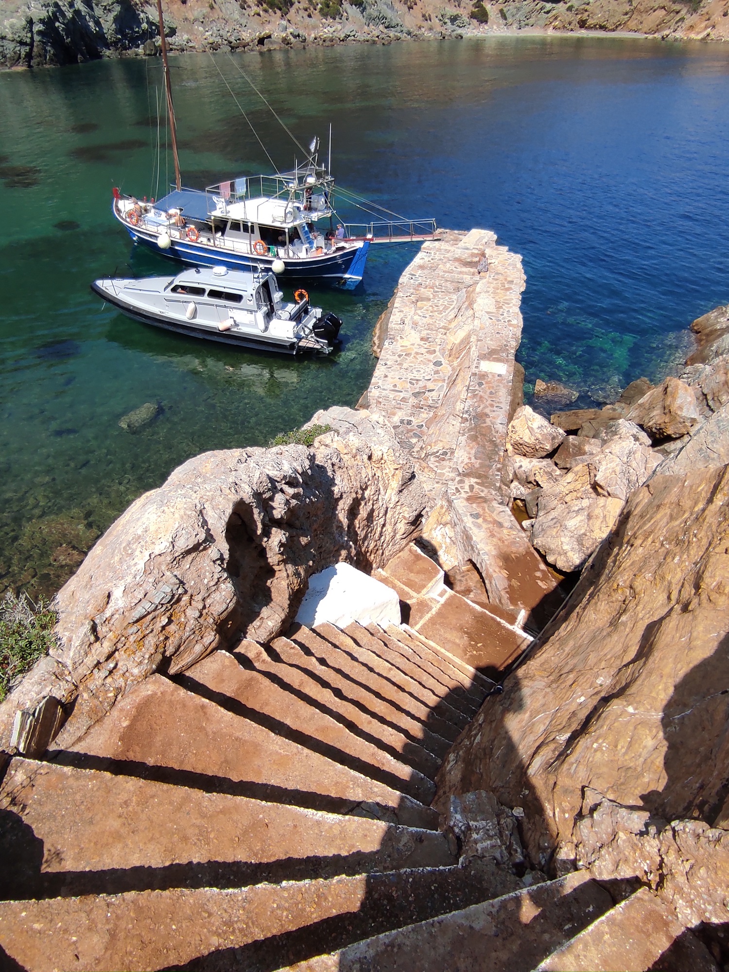
As it is accessible and without the protective restrictions usually encountered in Alonissos’ National Marine Park, Kyra Panagia also offers the opportunity for exploration on foot, provided that you possess substantial related experience, are in good physical condition, and are equipped with sturdy athletic shoes, as well as provisions of water. After all, once you approach by boat to the point of the Bay of the Nativity of the Theotokos Monastery, where the stairs leading to the monastery begin, the island “welcomes” you with a steep incline: its gradient reaches up to 15% at points, and it will take you around 20 minutes to hike up.
After visiting the monastery, hikers can now eschew the usual return route to the jetty and instead follow the uphill dirt road southwards/southwest. This path provides delightful vistas towards Alonnisos, culminating at a secluded beach. From this point, you can traverse the shoreline along a rugged trail until you reach the previously mentioned cove of Agios Petros, located at the western end of the island, diametrically opposite the Nativity of the Virgin Mary. The journey continues similarly, leading to yet another beautiful beach. From here, you can then proceed north, targeting Planitis Bay at the northern end of Kyra Panagia. It would be advisable to have prearranged a boat to collect you from this location.
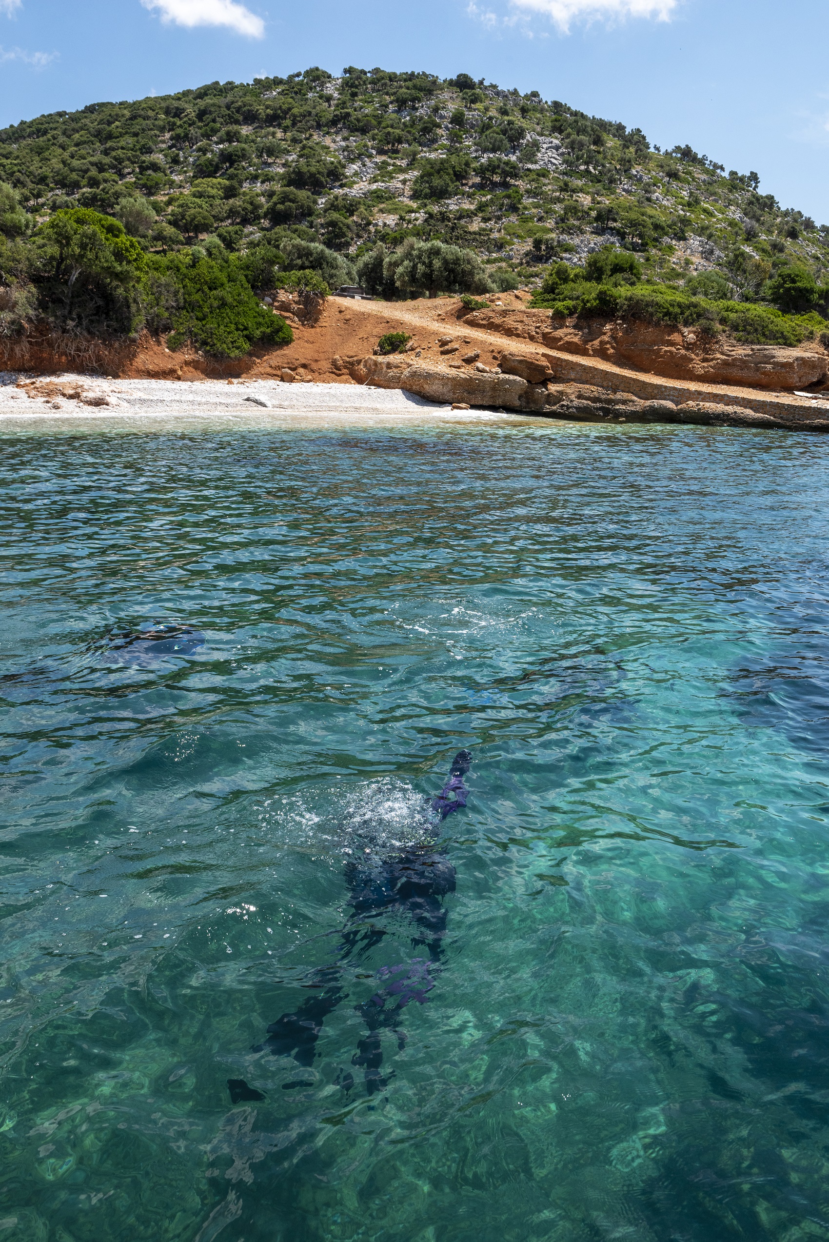
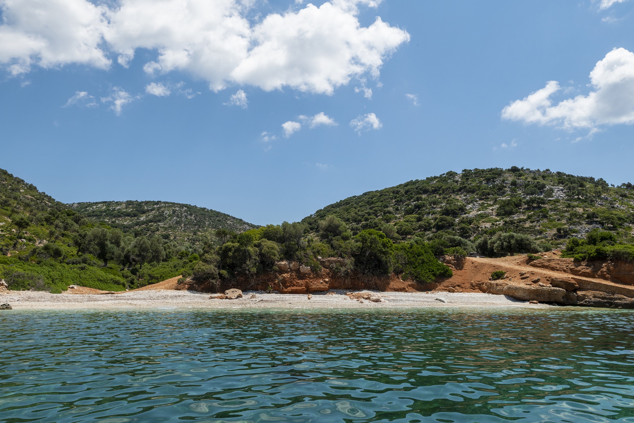
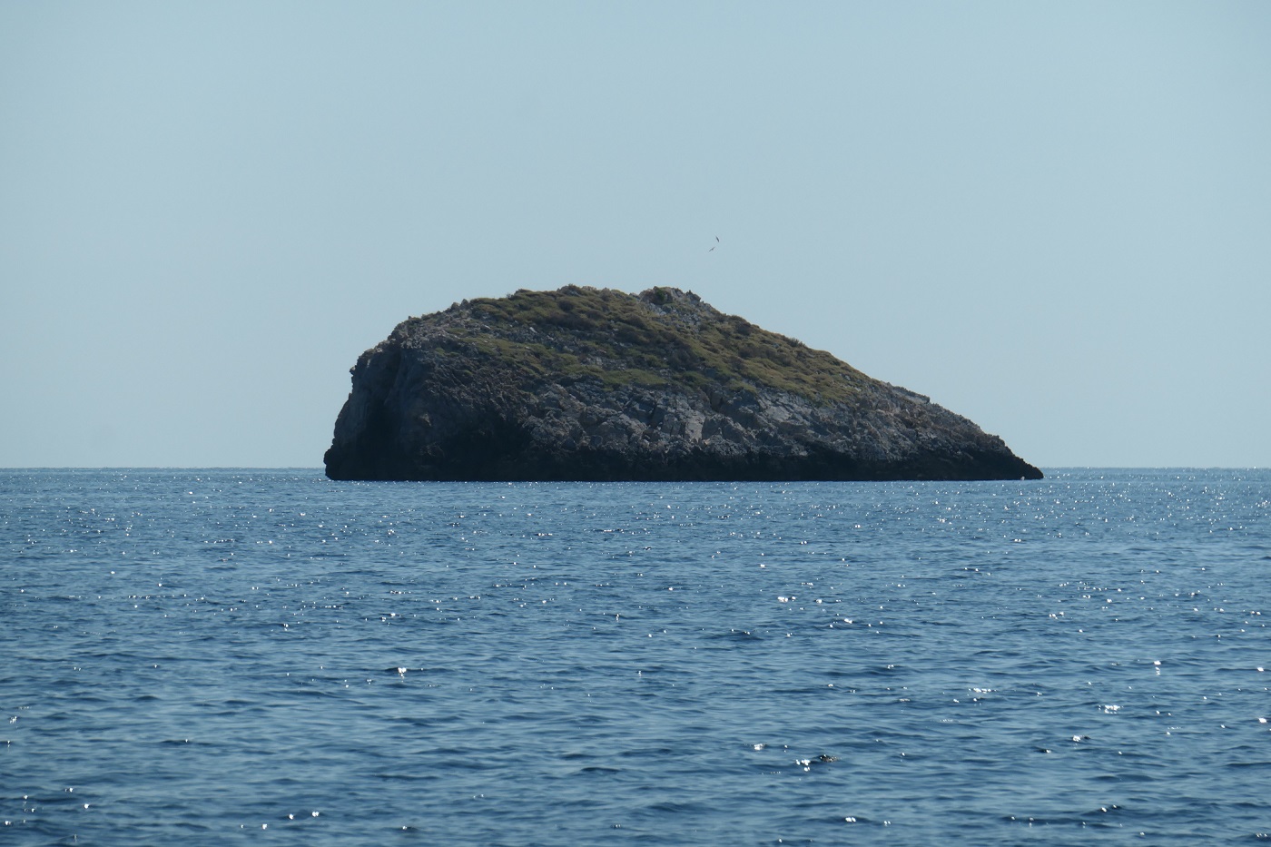
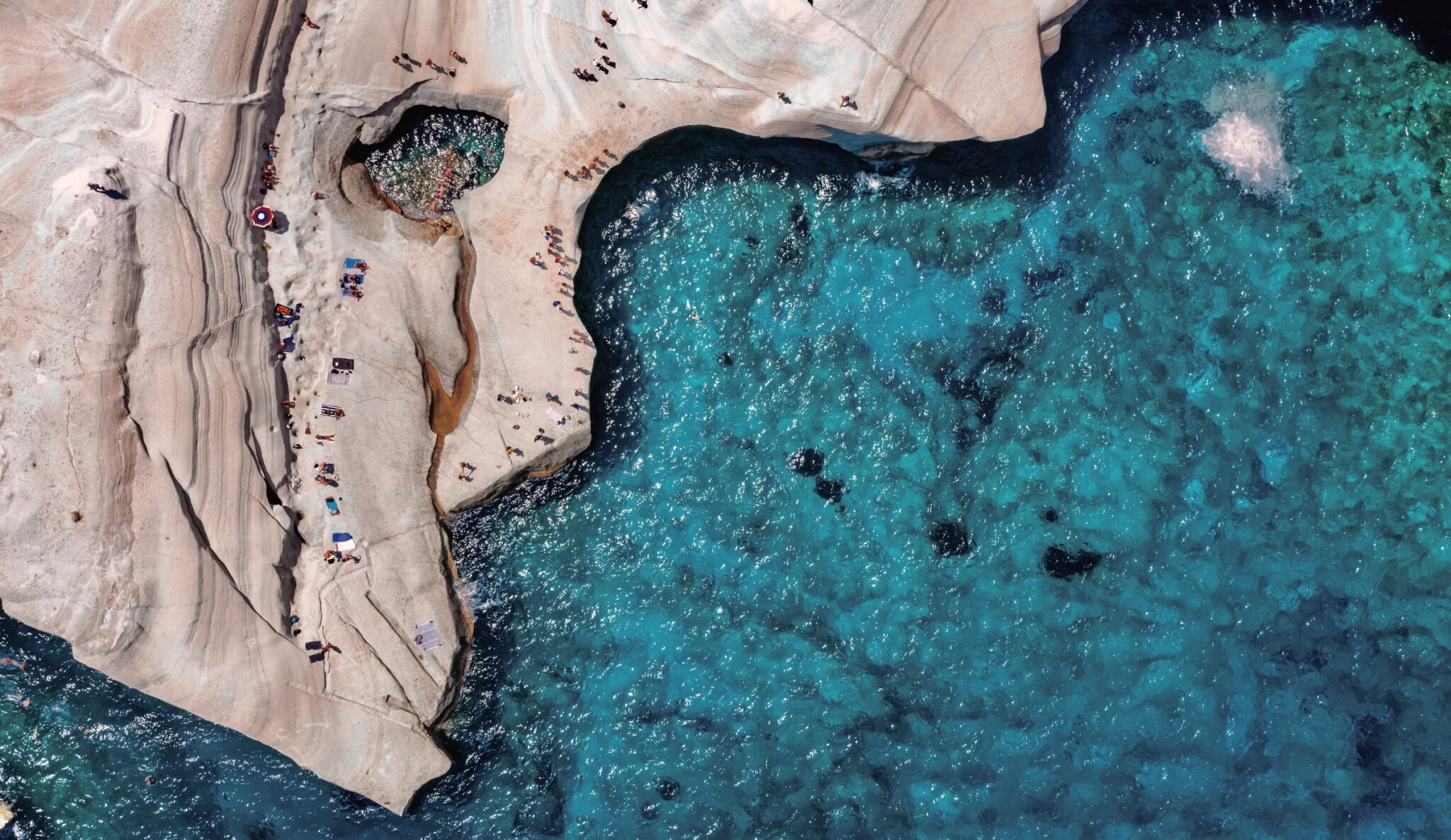
Most, of course, do not choose this challenging route to acquaint themselves with the beautiful, almost virgin beaches of Kyra Panagia. Instead, many descend from the monastery to the jetty and indulge in a refreshing dip in the serene sands of the Gulf of Monastery of the Nativity of the Virgin Mary, known for its turquoise waters, continuing their island exploration by sea. The ultimate destination for most private boats and tourist vessels is, without a doubt, the other two small harbours of Kyra Panagia, in the coves of Agios Petros and Planitis. However, if you find yourself here with your own speedboat or sailboat, it is worth venturing to the secluded islet of Melissia, off the southeastern coasts of Kyra Panagia. There, you will find crystal clear, oceanic waters with “exotic” hues, which are also considered a fishing spot.
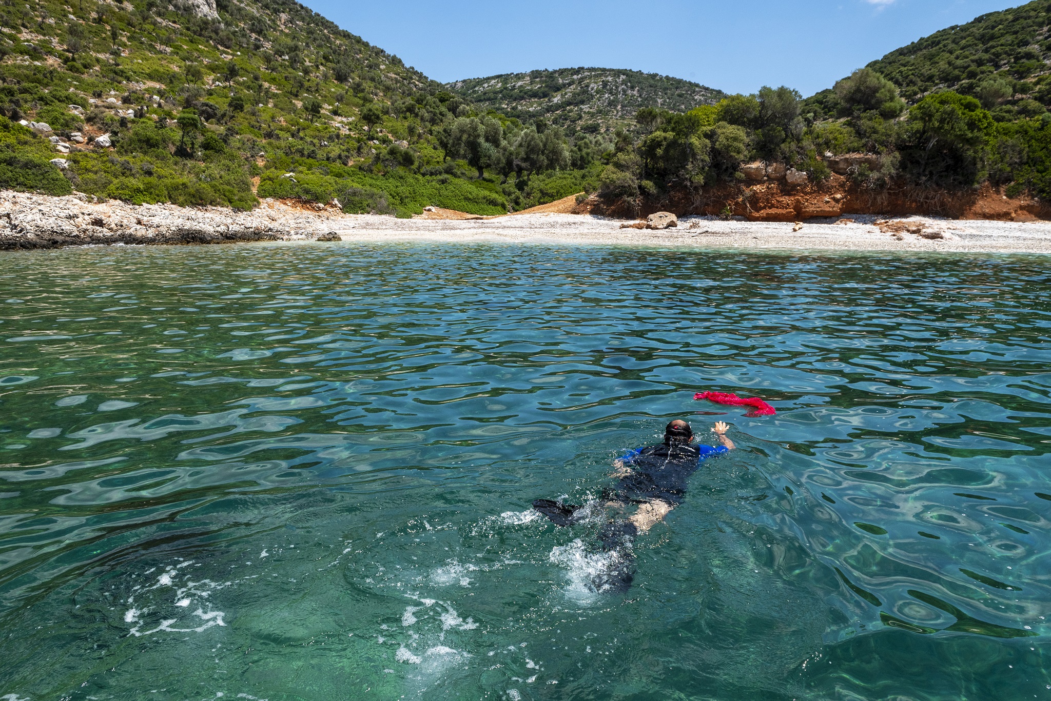
Arriving at Agios Petros, you’ll spot a fleet of private boats and perhaps a few luxury yachts anchored, as this bay is naturally shielded from the robust northerly winds — its only vulnerability lies to the west and southwest winds. Snuggled in its depths, a beach of white pebbles is cradled by azure waters. Of course, it holds considerable allure for diving enthusiasts, thanks to the aforementioned submerged prehistoric settlement and a Byzantine-era shipwreck, as well as another one dating back to the 5th century BC near the islet of Fagrou, at the entrance of the bay.
Moving on to Planitis, it bifurcates into two smaller bays (the locals call them “Endexio” and “Dravi“) and is regarded as an exceptional anchorage, providing natural shelter against any inclement weather. Upon entering, as you navigate past Cape Katergo, you’ll spot the rocky islet of Sfika, a popular mooring spot for many. In Dravi, you’ll discover a small, picturesque pebble beach, marked by a characteristic stone at its centre. Wherever you choose to take a dip, the waters are sublime, seamlessly blending the sky’s azure with the deep-hued tones of the Northern Aegean.
How to get to Kyra Panagia
The only way to reach Kyra Panagia is by boat. If you have your own boat, it’s simple: all you have to do is head northeast of Alonnisos, spotting the island at a distance of 3.5 nautical miles. It’s good to be familiar with the geography of its various angles, especially the three main anchorages.
However, if you don’t own a boat, you’ll need to look for tourist boats and ships that carry out excursions to the island during the summer months. Most of these depart from Patitiri, the port of Alonnisos. However, you can also find boats from Skiathos or Skopelos, which run routes in the National Marine Park, of course passing by Kyra Panagia. The traffic peaks on the first weekend of September, as mentioned earlier, as this is when the monastery of the Birth of the Virgin Mary celebrates its feast.
Read also:
Koukounaries: A Gorgeous Beach in Skiathos Island
Experience the Best of the Sporades: Hiking on Skopelos Island


