More than just a workout, hiking in Greece offers a rewarding way to explore the country’s diverse and magnificent landscapes. In this article, you’ll discover trails that range from easy to somewhat challenging. All of these beautiful paths offer stunning views of the sea, natural landscapes and more.
Heading off on a hike helps enrich your holiday experience and offers the opportunity to engage with local communities. Along the way you’ll also spot historical and cultural landmarks and monuments. Many of the paths have been traipsed for centuries. Thus they present a glimpse into the past of the inhabitants in these areas. It’s not just about reaching the highest peak or the end of the trek. It’s about the experiences and insights gained along the way. Always be sure to have the essentials with you, however. A map, GPS, a well-charged phone, sturdy walking shoes, water and nutritional snacks, not to mention great company. Let’s start!
01
Hiking in Pelion
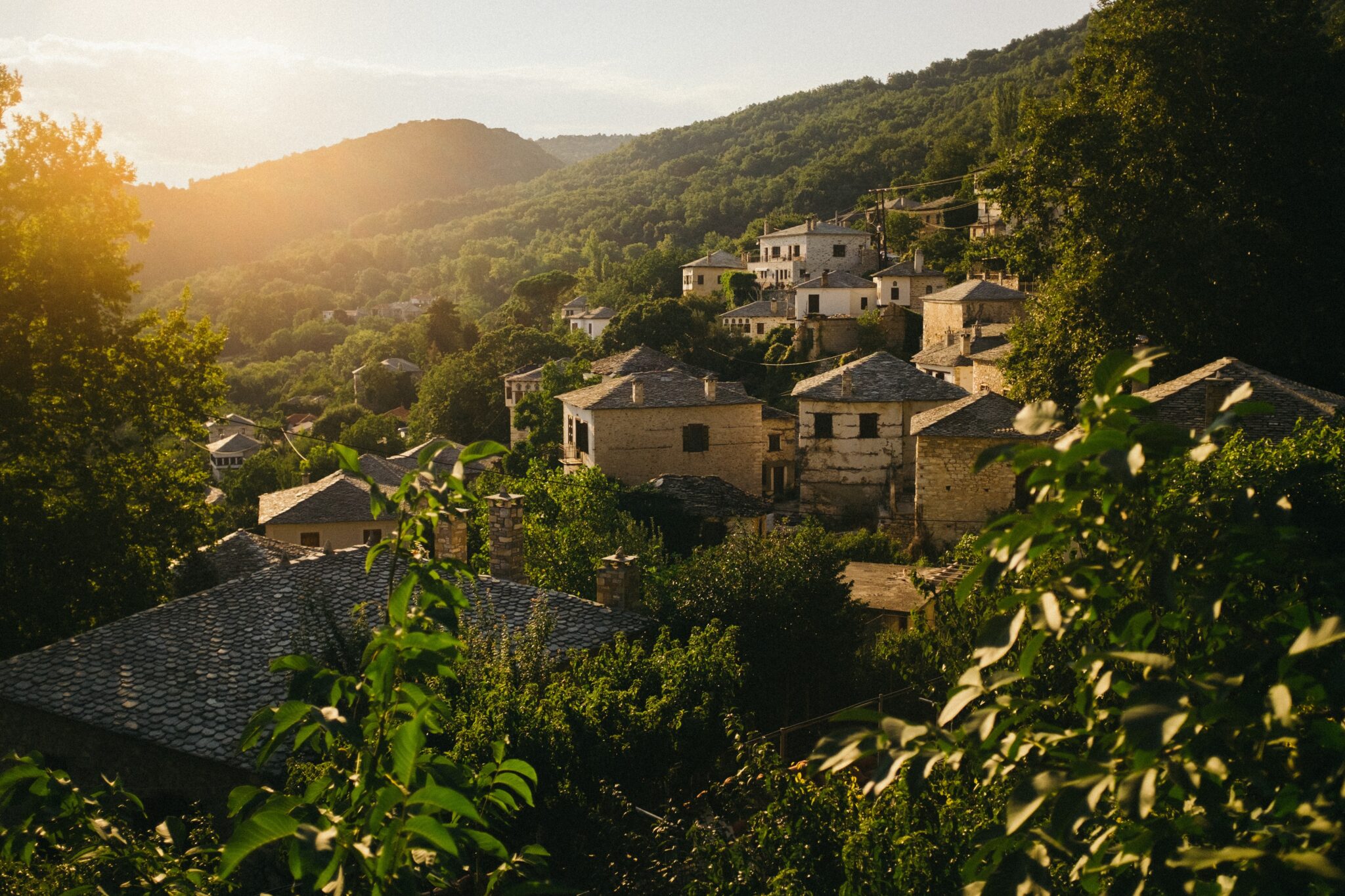
Stunning Pelion, in the southeastern part of Thessaly in northern Greece, is home to 24 picturesque villages. They are scattered across 44 kilometers from its northwest to southeast tips. Until the 1960s, a dense network of footpaths connected these villages. Along with the Volos-Milies highway, they served as the only means of communication. Thanks to efforts by local communities, many of the footpaths are well-maintained and offer visitors the chance to discover the magic of Pelion from within.
Several specialized organizations have mapped out and signposted customized routes for solo walkers or larger groups. They have incuded well-known or lesser-known footpaths suitable for hiking, cycling, or even horse riding. Here, we recommend a route that will immerse you in Pelion’s beautiful nature at its best.
The Centaurs’ Path, Portaria
The Centaurs’ Path is two kilometers long and 50 minutes duration, and one of the easiest walking routes in Pelion. Legend says it was once used by the Centaurs, (mythical creatures who were half-human and half-horse), to travel to eastern Pelion. A landscape of immeasurable beauty awaits once you pass the entrance to the path. The entry point is the stone gate of Adamaena, located at the first streambed as you leave Portaria and head towards Makrinitsa.
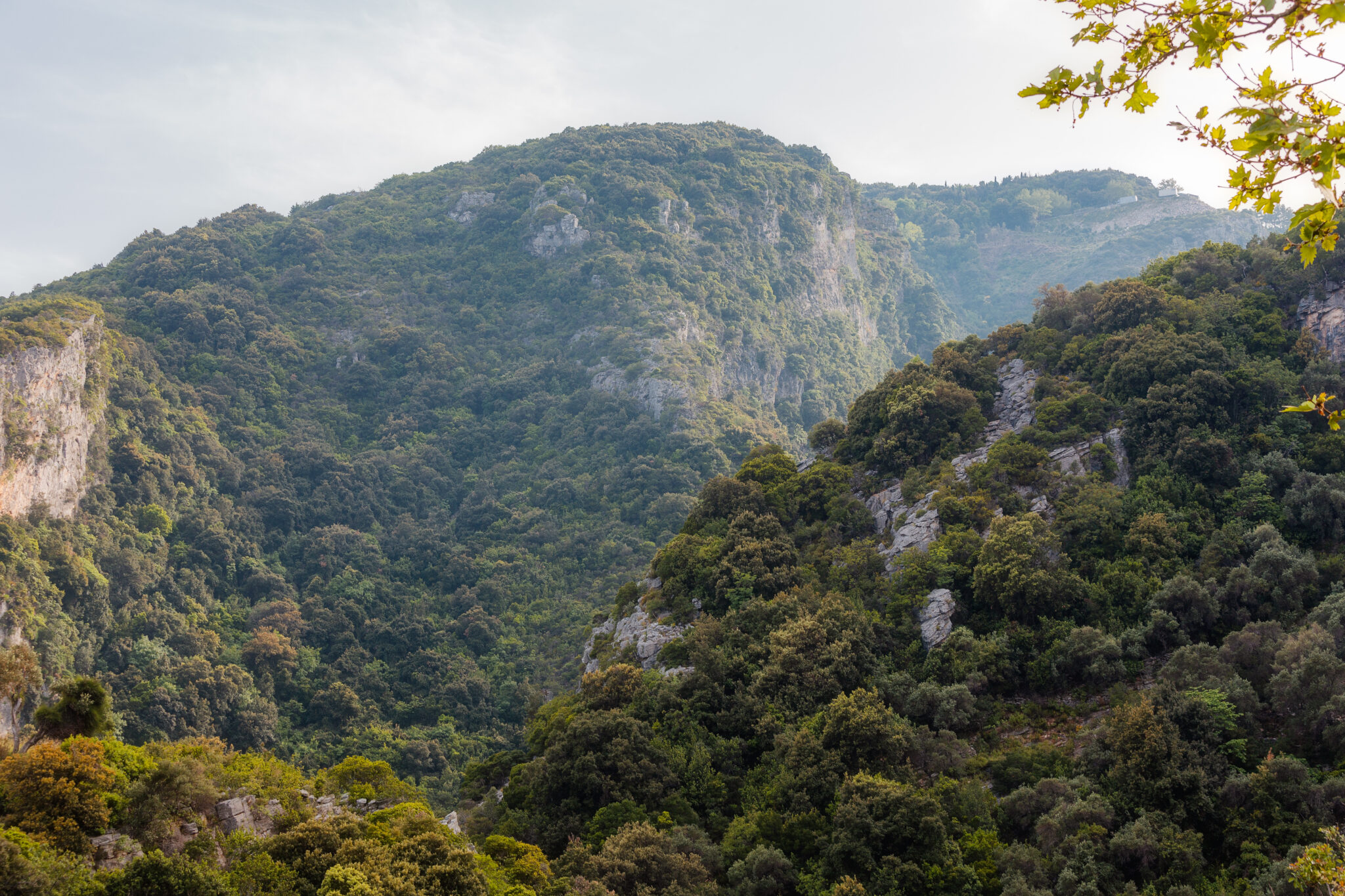
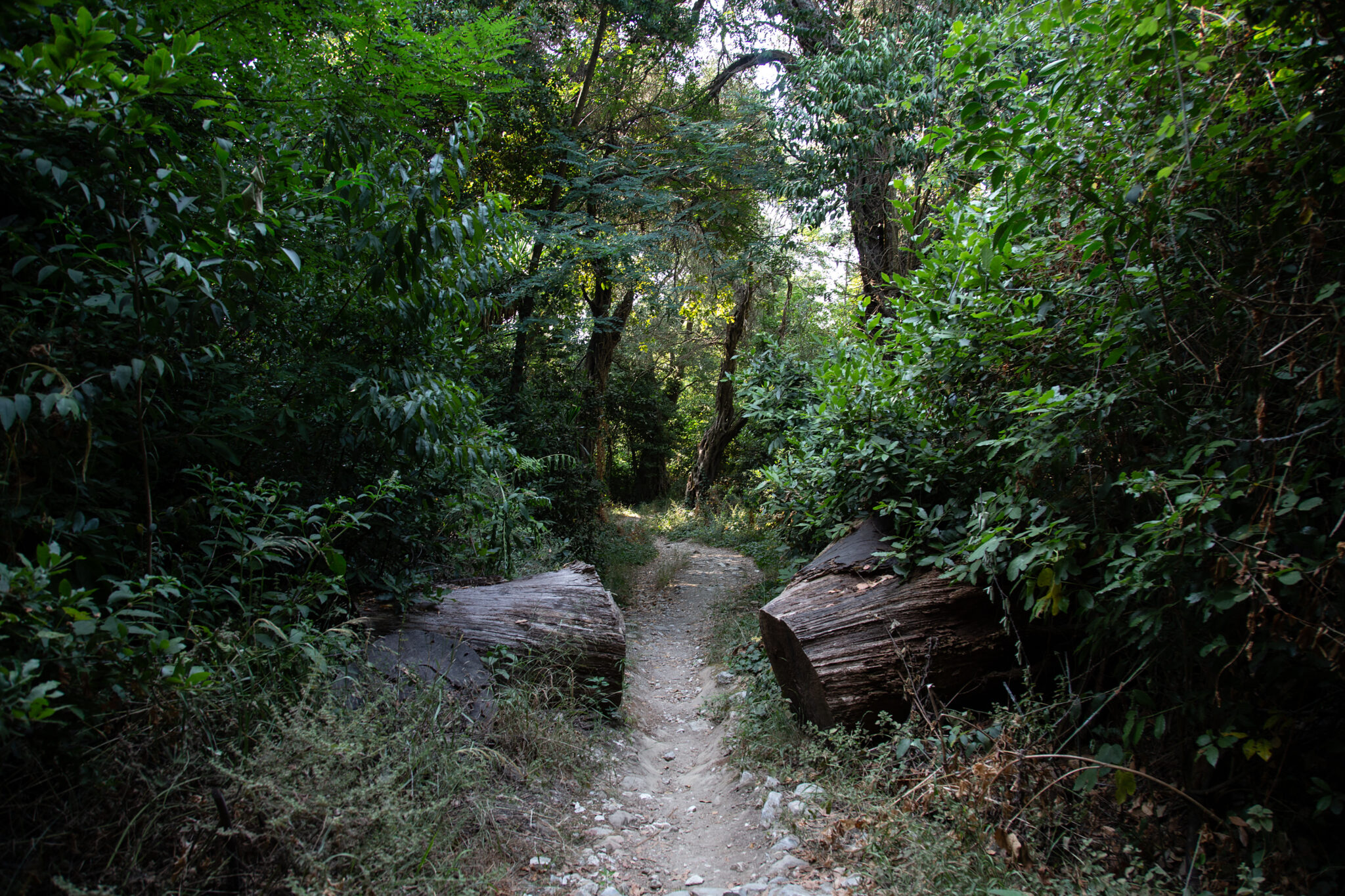
The route, indicated by a sign near the starting point, leads from Portaria to the Mana spring. The cobbled path, which has been cleared, maintained and signposted by local scouts, goes gently uphill. It’ll take you past shady plane trees, ivy and tall ferns.
The sound of running water surrounds you, forming streams and small pools. As you ascend, you will encounter and cross seven small wooden bridges, which make the route even more picturesque. The path takes less than an hour to complete and isn’t very challenging, so is also suitable for children.
02
Hiking in Meteora
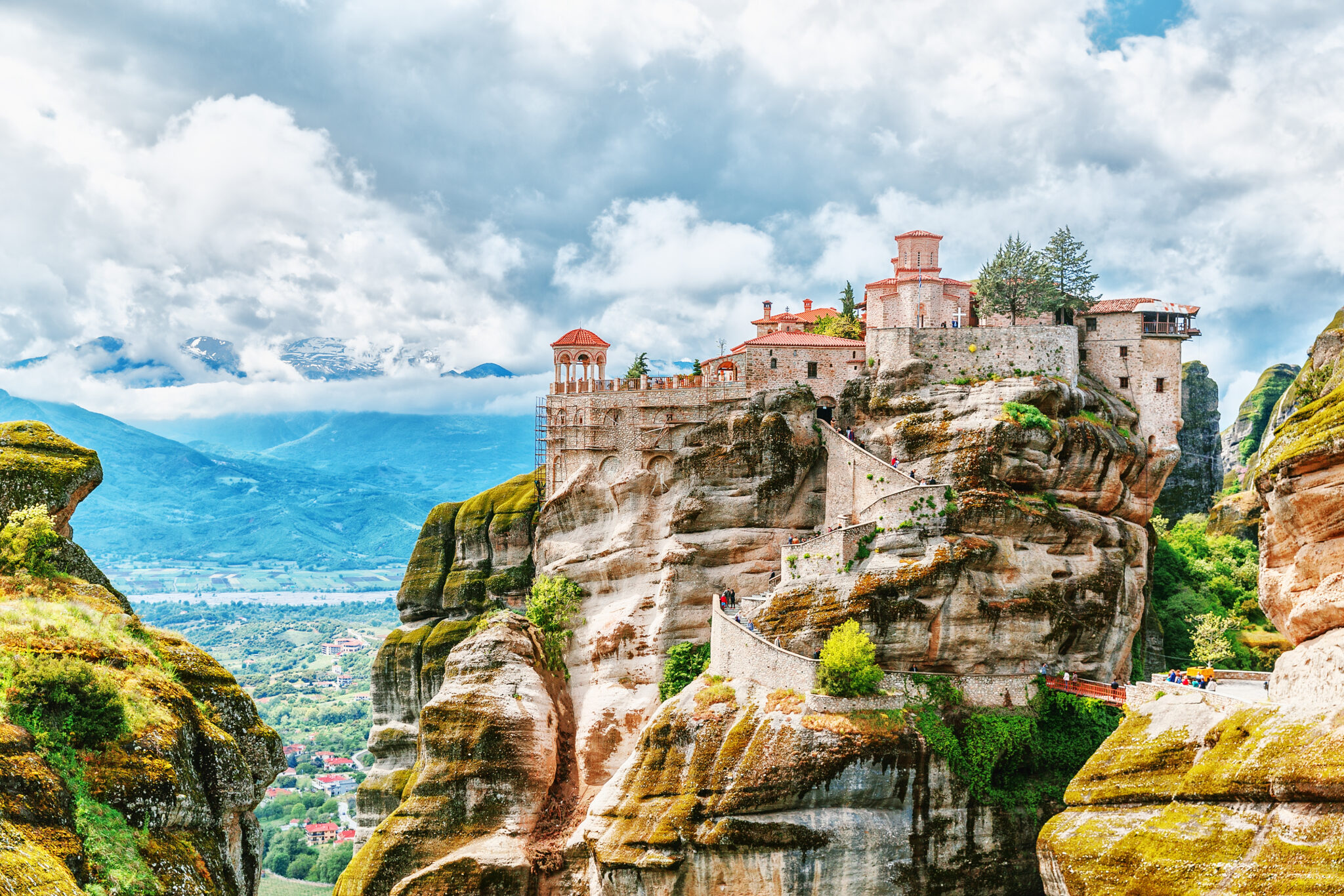
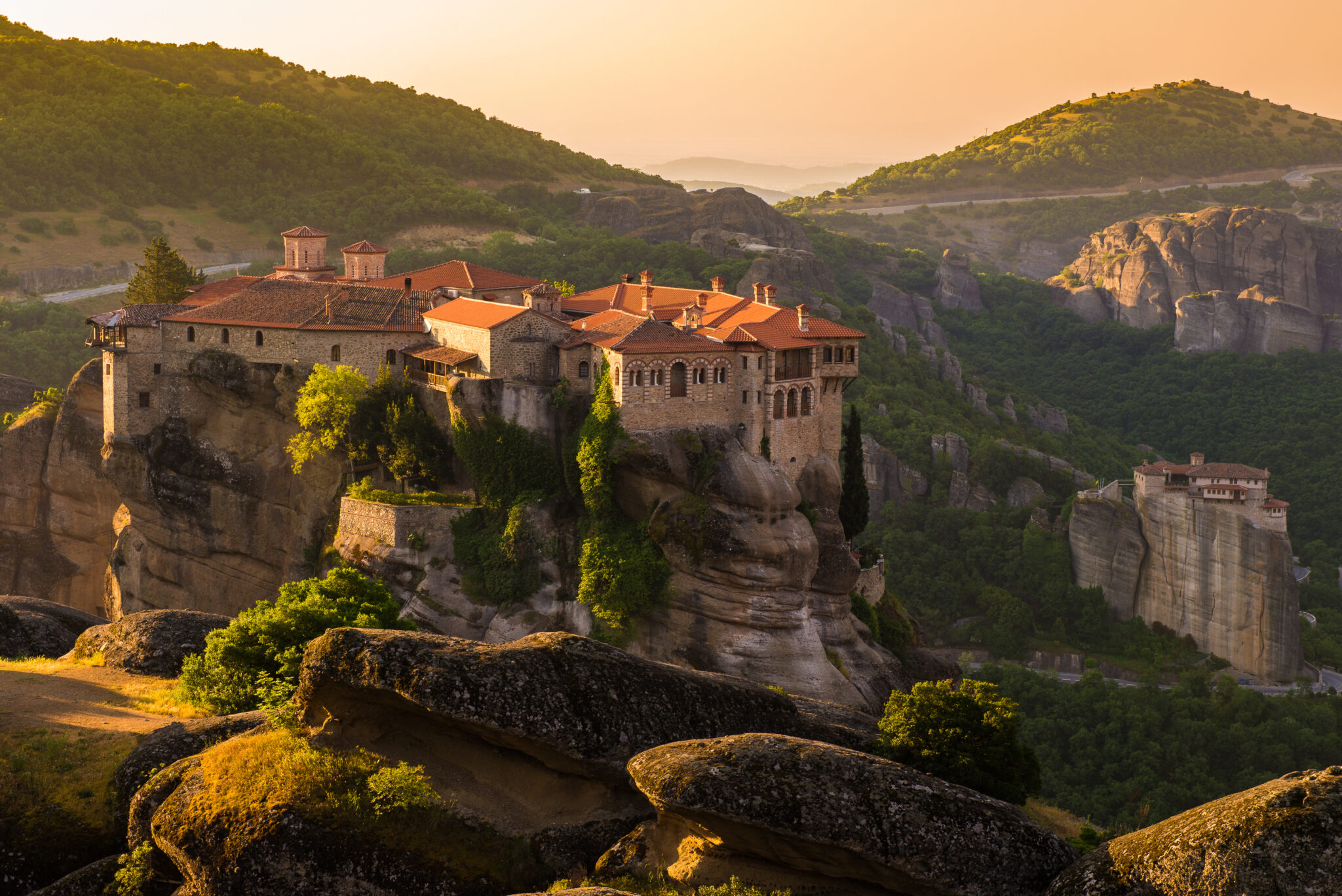
Whether you are a novice or a seasoned hiker, there is a path for everyone. As you hike, you’ll be rewarded with stunning vistas of the surrounding countryside, including distant mountains, valleys, and the sky. The natural beauty of this region is unrivalled, and it has inspired artists, writers, and photographers for centuries. The Terrain hiking map accurately captures all the well-trodden paths in Meteora. However, you’ll need a good pedometer app on your phone to calculate distances. Carrying a compass and having a good sense of direction also help.
Kalambaka-Agiou Stefanou Monastery
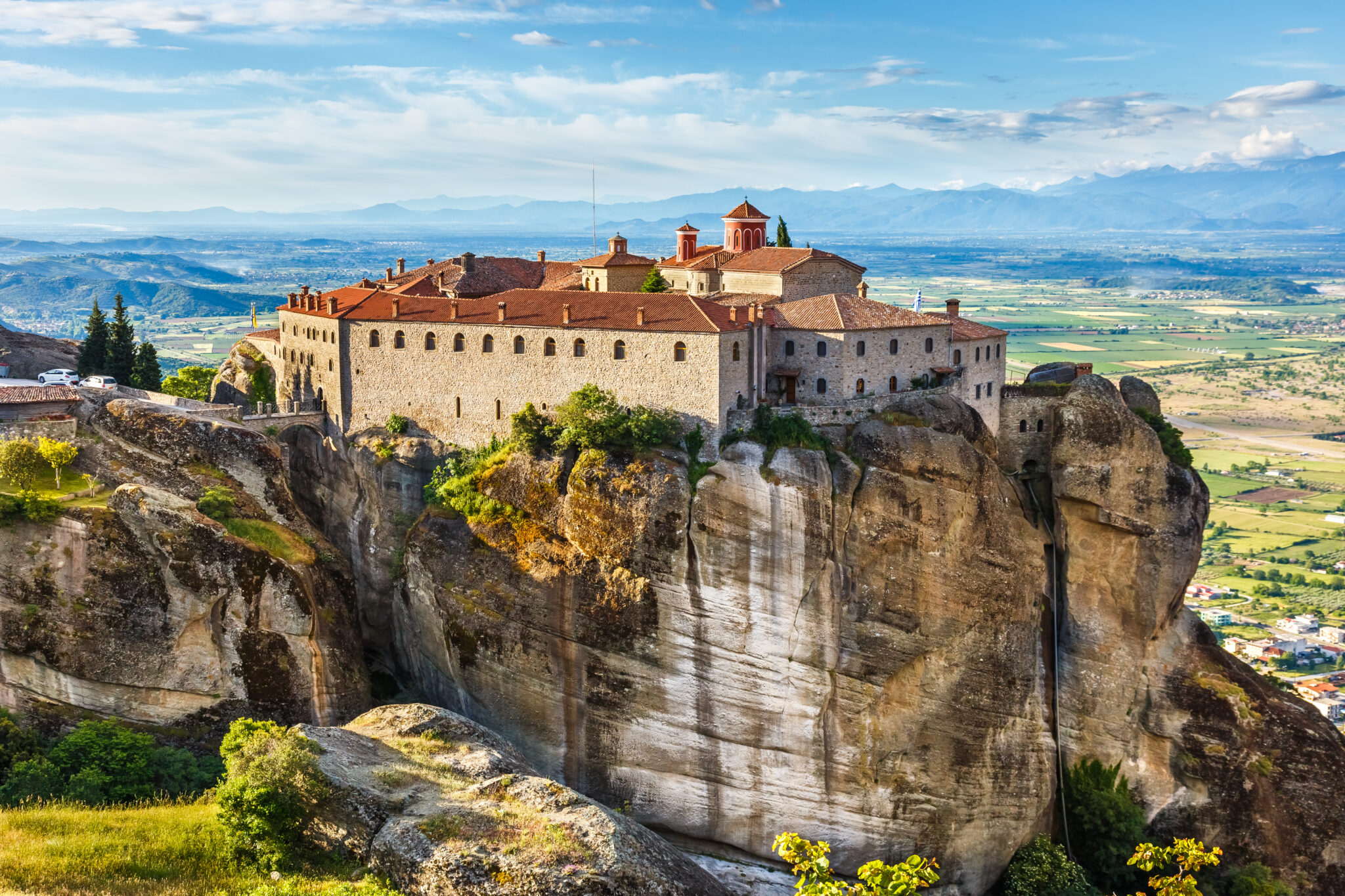
This route, (four kilometers length and around two hours’ duration) starts at the eastern entrance of Kalambaka. From there, follow the central Trikalon road. Immediately after the Divani Hotel turn right onto Zacharias Pseira Street (northeast) until its end. From there, follow the dirt road towards the east. At approximately 1200 meters from the Trikalon road, you’ll see the hiking trail on your left, ascending towards the north. After 400 meters, you’ll reach the deserted chapel of Analipsi. Continue northwards along the dirt road, and after 50 metres from the chapel, turn left onto the hiking trail.
This section of the hiking trail, leading to Agiou Stefanou Monastery, is remarkably beautiful. Especially in autumn, as it passes through a dense oak forest. The trail ends at the back garden of the monastery. However, the nuns have unfortunately placed a large iron gate that prevents you from entering. Instead, climb up to the top of Pyrgos Hill, north of the monastery to get an excellent view from above.
03
Hiking in West Zagori
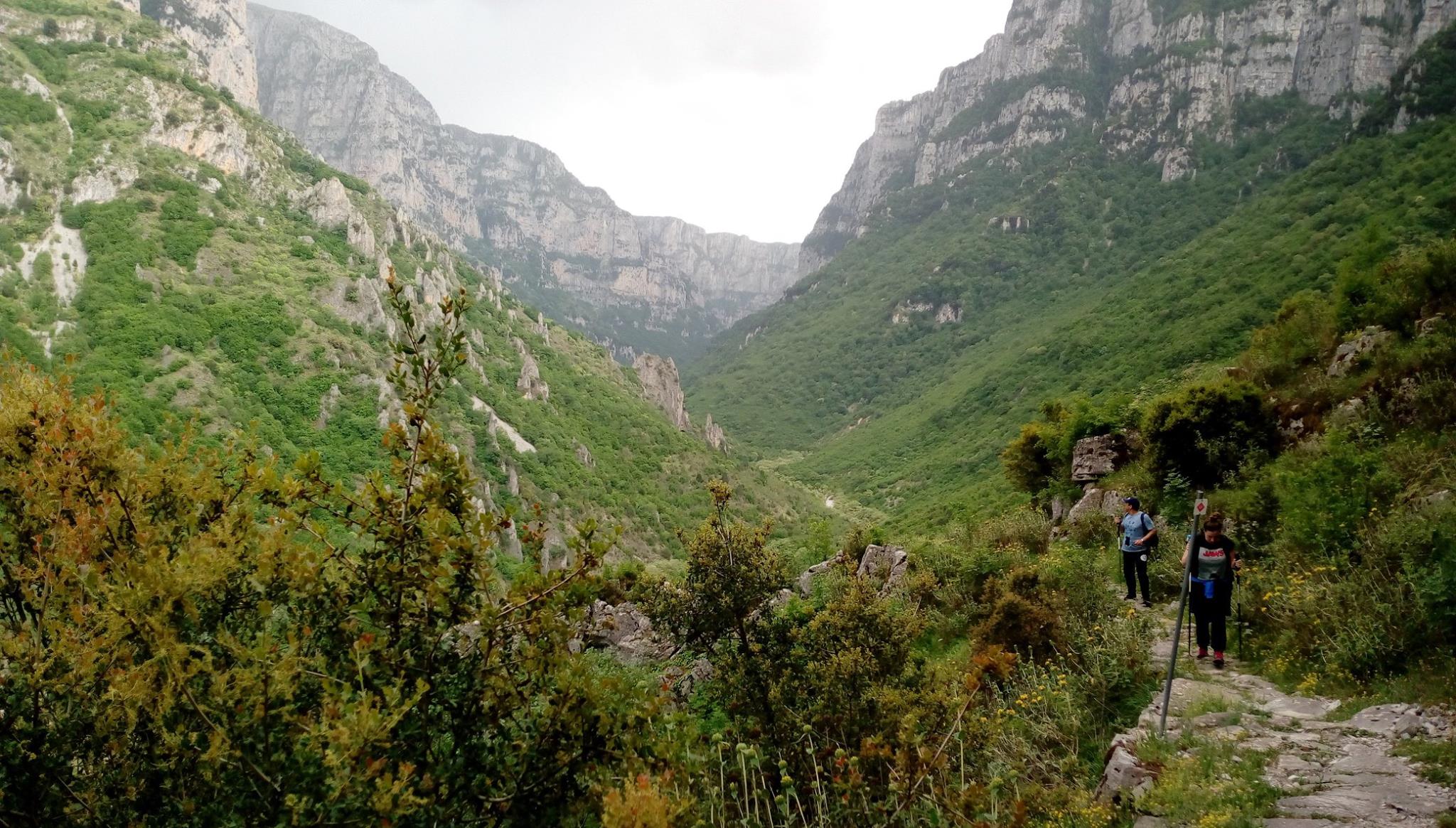
Mt Tymfi is a super scenic hiker’s paradise. Here you’ll see dozens of high peaks, deep gorges, forested slopes, rivers, streams, springs, alpine meadows, and lakes. There are trails and climbs suitable for all levels of physical fitness, from simple walks to more challenging routes. If you are visiting Tymfi, visit the mountain shelter. It is located at a height of 1,950m on the neck formed by the peaks Astraka and Lapatos. Maintained by the Greek Federation of Mountaineering and Climbing, it can accommodate up to 50 guests. During the winter months, it serves individual climbers or mountaineering groups of the Greek Federation to which it belongs. For more information, visit here.
Voidomatis Bridge – Klidonia Bridge
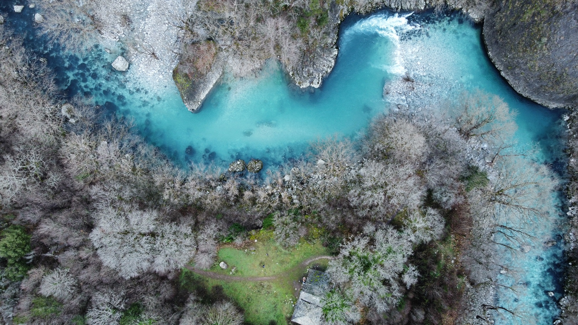
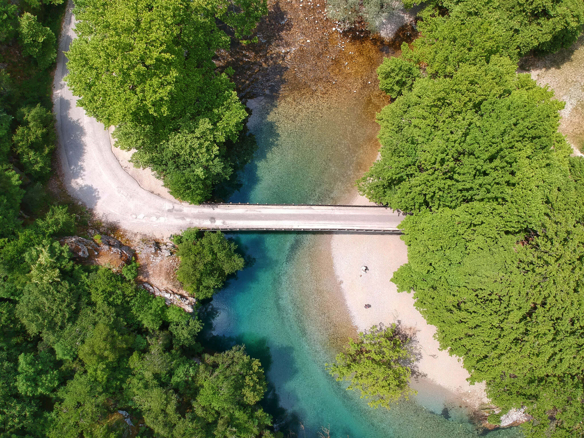
Embark on a refreshing hike alongside Voidomatis river, starting from the concrete bridge after Aristi. You’ll find the beginning of the path on your left after crossing the bridge and reaching the first uphill hairpin bend on the road to Papigo. As you walk, you’ll have the chance to admire stunning geomorphological formations, caves, and the unique nature of the area.
About halfway along the route, take a small detour to the right. Here you’ll discover the beautiful monastery of Agioi Anargyroi Klidoniavista. Nestled among vertical cliffs with caves, plane trees and by the water, this serene spot is sure to enchant you. The cells around the main church are now in ruins, but still make for an interesting sight. According to inscriptions, Agii Anargyri was built in 1658.
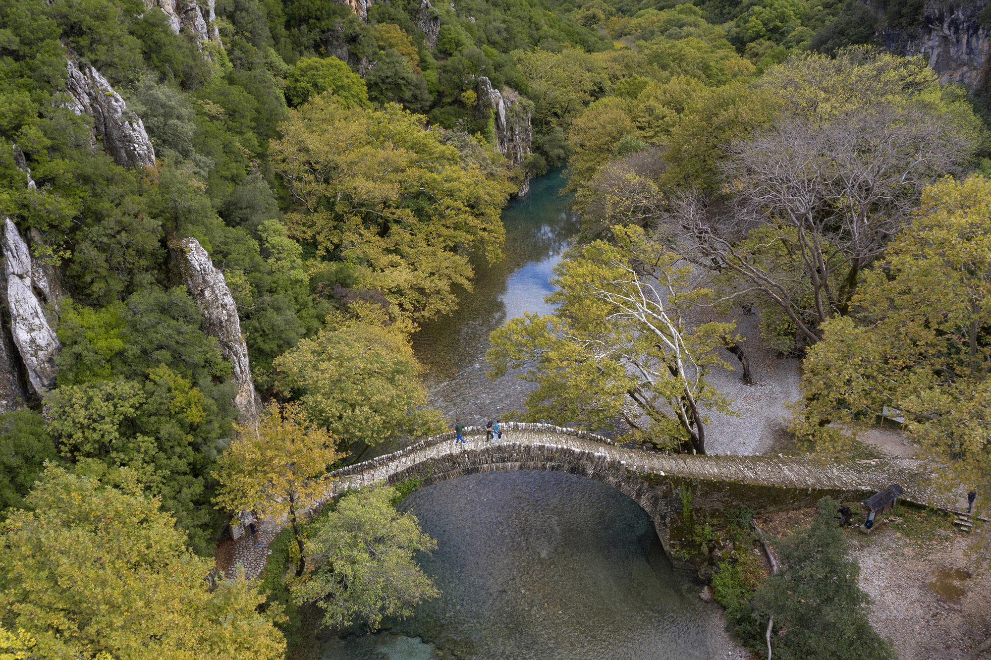
You’ll reach the stunning single-arch bridge of Kleydoniavista, where Voidomatis’ waters flow into the Konitsa valley. This bridge is perfectly integrated into the surrounding landscape and is a true marvel of engineering.
The bridge is named after the mountain village of Upper Klidonia (formerly Klidoniavista). It was built with the sponsorship of Balqiz Hanum, from the harem of Malik Pasha, in 1853. Its intricate design and stunning natural setting make it a must-see for anyone visiting the area.
04
Hiking in Andros
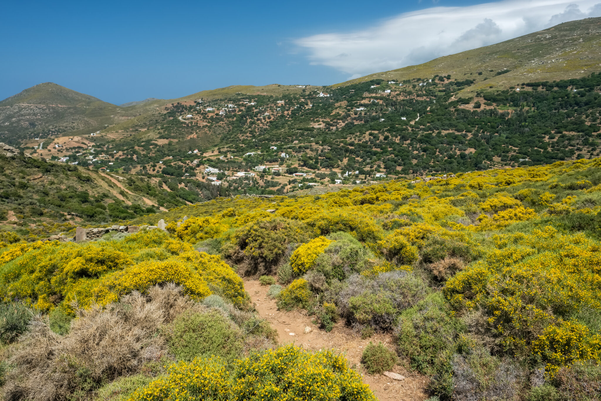
High mountains whose peaks are often lost within the clouds. Cool, clear spring waters gargling down gorges and gullies dotted with watermills, waterfalls and rock pools, hidden in jungle-like vegetation. Beautiful mountain villages with traditional architecture. Stunning Aegean views and beautiful beaches separated by imposing, rocky and wild coastlines beaten by crashing waves. And yes, all of this and more on an island in the Cyclades.
Meanwhile, in recent years, the vast network of gorgeous old pathways (calderimia) zig-zagging 160 kilometers around Andros have been cleared. This has made the island one of the top hiking destinations in Greece. One can find the100 km “Andros Route” on the map – an essential accessory for hikers – marked in blue. It runs from north to south, crossing the island’s mountain ranges, landscapes of great natural beauty and important monuments. It should take around 10 days, with an average daily hiking time of 4-5 hours, to cover all the routes. Most of them are of medium or, in a few cases, more demanding level of difficulty. Check out Andros Routes’ website to read up on the total of 32 regular and circular routes. Below is our proposed route to try, which combines lush nature and sea.
Vourkoti – Agios Nikolaos Monastery – Achla Beach
The starting point of this hike is in the center of the village of Vourkoti. It is Route 6 of the Andros Routes network, 9,4 kilometers, around three and a half hours’ duration. After the first houses of the village, descend into the lush valley, where you cross a stone bridge. Then pass through the cobbled alleyways of the mountain village.
Take the path running parallel (eastwards) with the main road, until you reach a dirt road. Walk down this path for the next 500 meters. The path then separates from the dirt road and continues downhill to the right (south). After 1.9 kilometers, cross the river over an old stone bridge. Around 400 meters further down, join a dirt road that leads to the iconic Monastery of Agios Nikolaos.
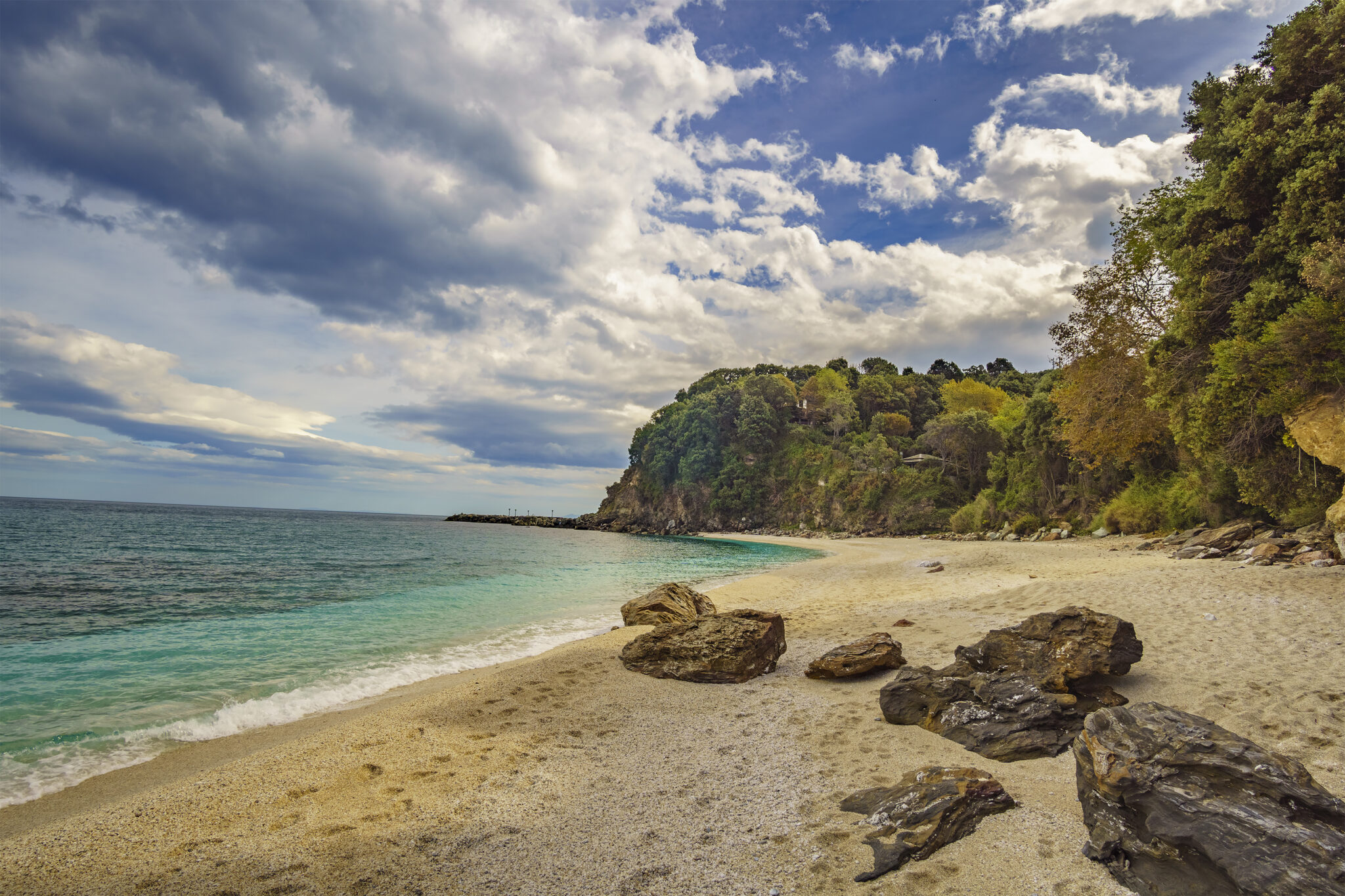
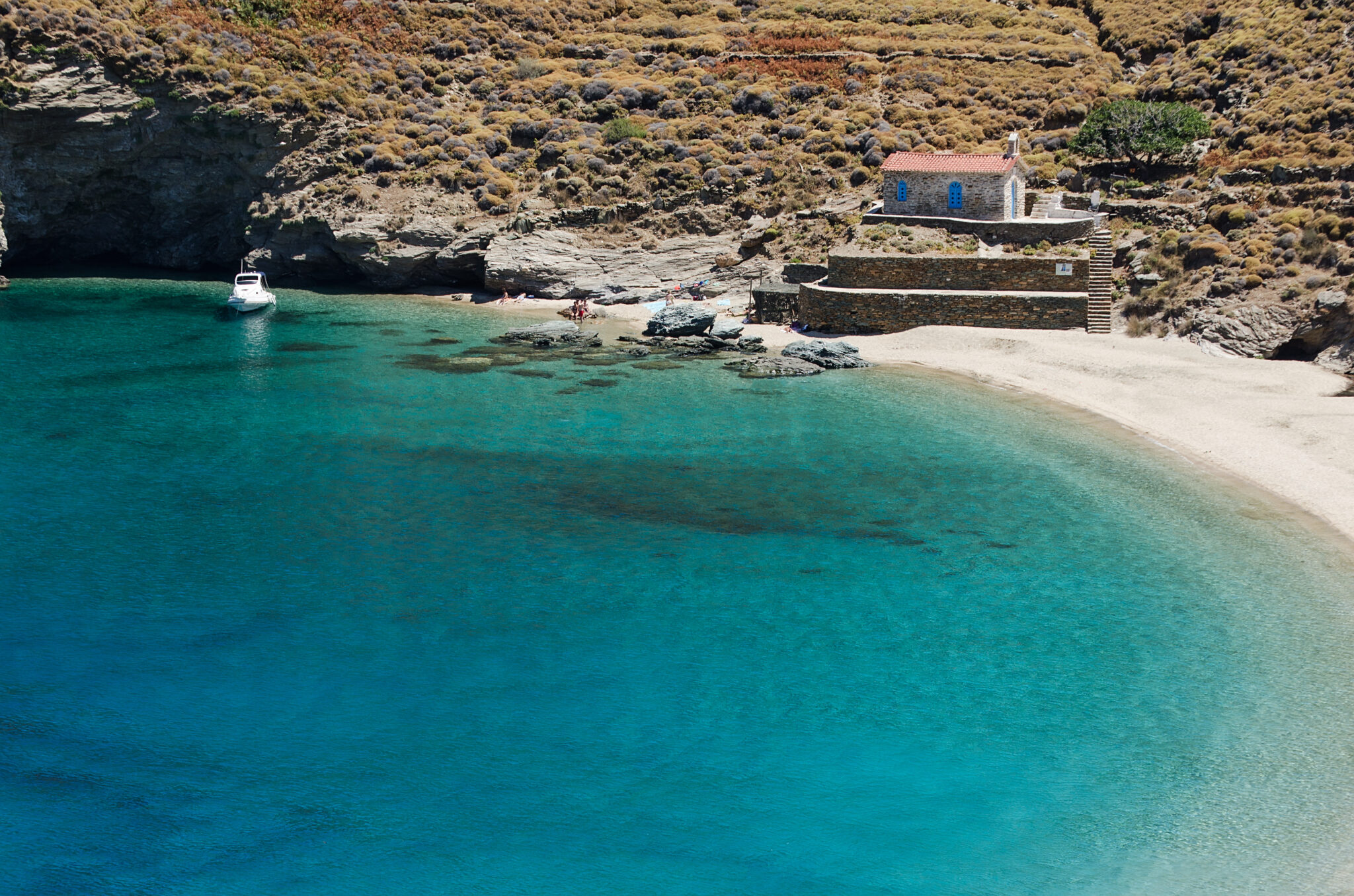
From here, the path is clear and descends to the river of Achla, on your left (north). Follow this until you reach the large secluded beach of Achla. Achla is one of the Aegean’s most stunning beaches. It is located in the northeast of the island, 24 kilometers from Chora. During the tourist season, it is filled with moored boats and flooded with those whose bucket list it’s been on. The beach has very fine white pebbles, dreamy crystal clear waters, a beach bar at the top. Many people also come to camp out by the river here, which has glassy ponds and plane trees. Achla can be reached either by boat or by car. The ONAR ANDROS Stone Houses and Villas also offers plush accommodations here.
05
Hiking on Corfu
The Corfu Trail
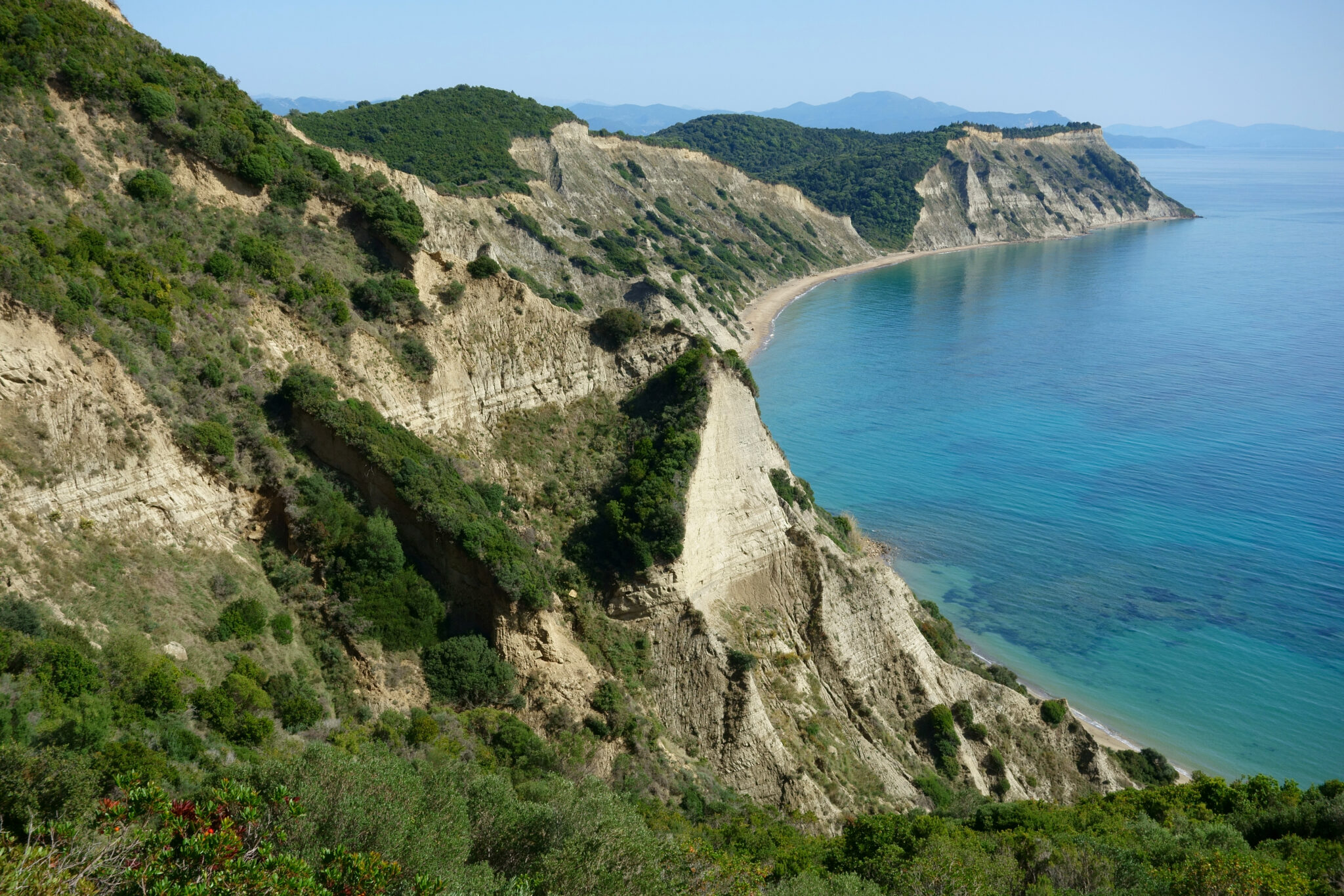
Established in 2001, the Corfu Trail has rapidly become a magnet for hikers. Especially those seeking an authentic experience away from the island’s tourist hotspots. This 220-kilometer trek cuts a path through Corfu’s diverse landscapes, avoiding the areas marred by mass tourism. Instead, you’ll be treated to views of the island’s unspoiled natural beauty. In the south, enjoy seeing sandy expanses and dune systems. In the central part, the ancient olive groves. And in the north, the dramatic limestone formations and the deep valleys.
Marked by distinctive yellow signs and paint, the trail ensures navigational ease. It goes from the south, near Kavos until the northern reaches. This is where the landscape’s beauty intensifies. This path has been carefully designed to bring hikers into a continuous interaction with changing scenery. A fresh and stu8nning view can be relished at every turn.
The journey starts amidst the tranquility of southern Corfu. It weaves through historical sites and lush coastal landscapes before ascending into the rugged terrain of the north. Each segment of the trail, from forested paths to mountain vistas, offers its own unique set of challenges and rewards. Yet it showcases the island’s ecological diversity and cultural richness.
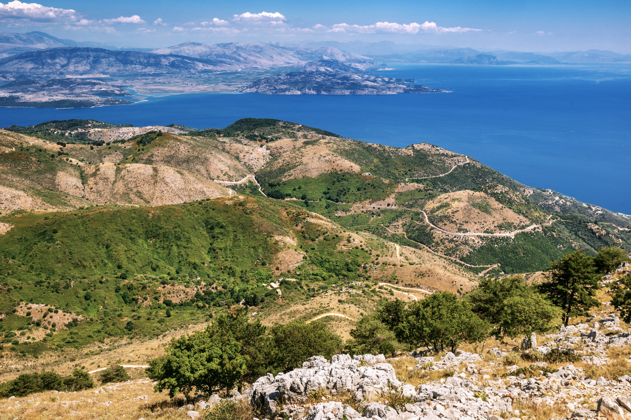
There are other options to choose from for hiking, however. The three old paved paths from the village of Lakones offer easy and short hikes that are well signposted. Leading to the village of Paleokastritsa, the paths are a great way to explore the natural beauty of the area. In addition to these trails, there are two more challenging route. Both lead to the top of the highest mountain on the island, Pantokratoras.
The first route starts from the village of Old Perithia. It takes approximately one and a half hours to reach the summit. The second route starts from the village of Strinylas. It takes about two and a half hours to reach the top, passing through the Kranoula site along the way. Both of these trails offer breathtaking views and a chance to experience the island’s rugged terrain.


