Andros, the northernmost island of the Cyclades, is a sightseeing paradise for visitors who appreciate culture, history, and natural beauty. The island’s main attraction is the Chora of Andros, a naval town with rich history, architecture, and culture.
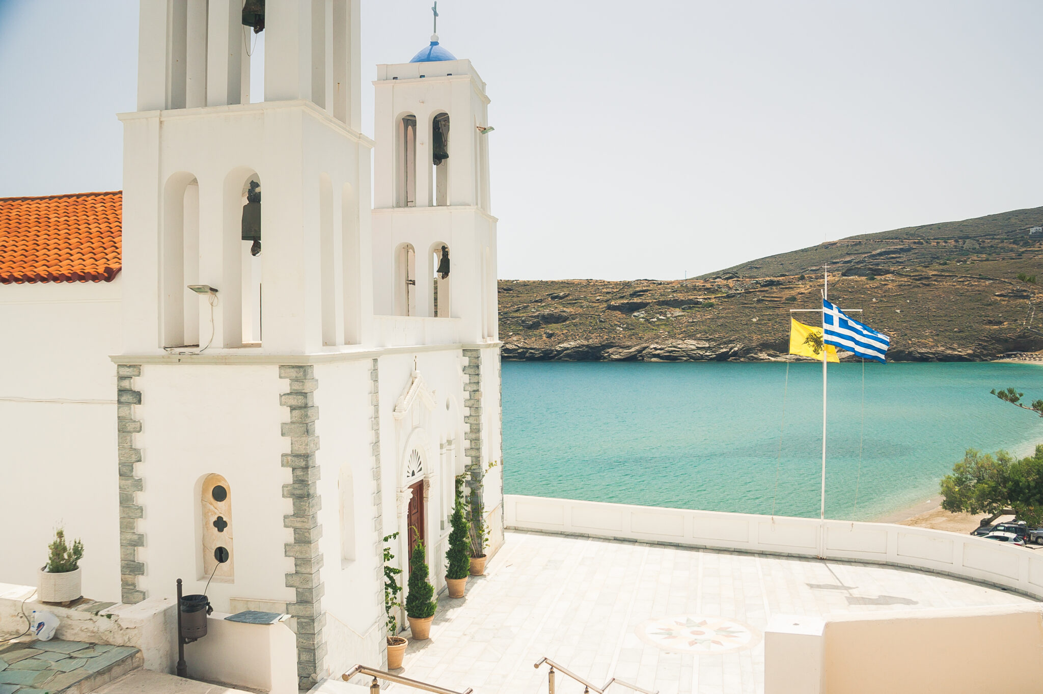
Take a walk through the main street of the Agora and see the Andrion Club, the longest-standing club of its kind in Greece, the Gerokomeio square with the Monument of Unknown Sailor, and the Byzantine church of the Assumption of the Virgin Mary.
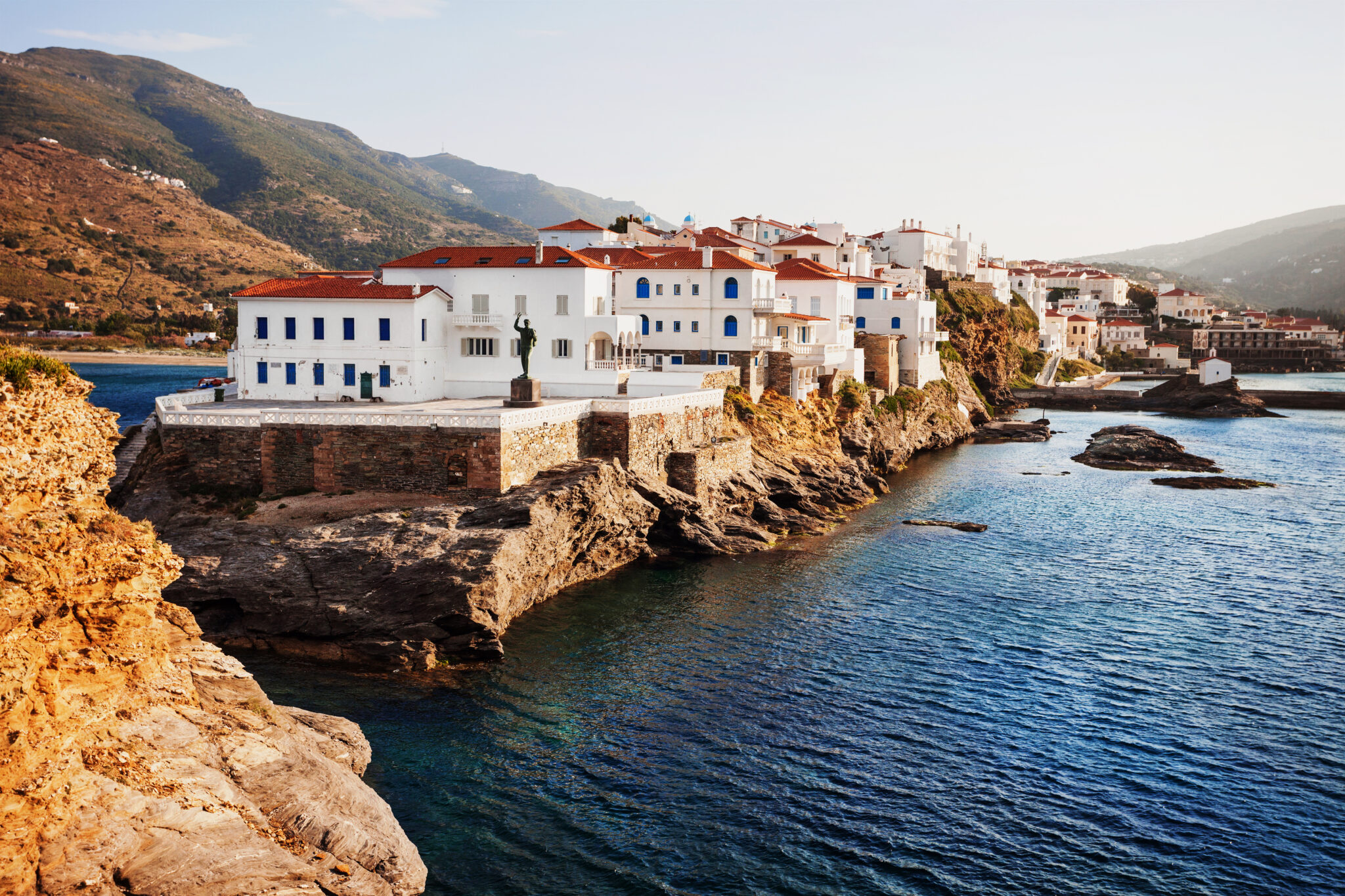
The old town has neoclassical buildings, a bronze statue of the Vanished Sailor, and the Kamara, an arched bridge leading to the Venetian castle. Other must-visit places include the Korthi area, Lamira, Batsi, and the Gavrio village.
Walking in Chora
The maritime town remains unsurpassed in the Aegean in terms of its rich history, architecture and culture, and there is plenty to see and do there. Your walk through the Chora commences from G. Embeirikou, the main street of the Agora, which is lined with stores, cafes, pastry shops and restaurants. At the start of the pedestrian street, you will see the Andrion Club, the longest-standing club of its kind in Greece, and then you’ll come across the “Gerokomeio” square, with the Monument of Fallen Andriots. This is a favourite spot for kids to play in the evenings or for a drink at the little café near the open air cinema at the back of the square.
In the background is the imposing ‘Gerokomeio’ Nursing Home (since 1894) building, founded with a donation from Konstantinos Embeirikos. Next, you’ll pass by the Byzantine church of the Assumption of the Virgin Mary and soon you’ll reach the heart of the town, Kairi square, with the Kampanis marble fountain (1818) and the bust of Theophilos Kairis (1912).
Most visitors stop here to sit at the cafés-ouzeri under the plane trees, have a bite at the restaurants or visit the Archaeological Museum. (See Culture). From here you’ll also see the Porta, a large, arched stone doorway leading to the picturesque old part of the town and up to sea facing Riva square.
Paraporti and Niborio
Steps starting from Kairi Square lead down to Paraporti, with a long, wide beach where Megalos Potamos (Great River) flows out. Looking at it from the sea, the Paraporti district is impressive, as you regard the house where Theophilos Kairis lived, the 17th-century metropolitan church of Agios Georgios and the church of Panagia Theoskepasti (1555).
As you descend the steps beside the Archaeological Museum, you will pass the renowned Goulandris Museum of Contemporary Art (see Culture), where annual exhibitions are held from June to September, as you head towards Plakoura, with its docks and the much-photographed chapel of Agia Thalassini. Or, towards the dilapidated Xenia Hotel, from where you can continue towards the beach of Niborio on the edge of which is the members-only Nautical Club of Andros (NOA), inaugurated in 1957.
The Old Town
From Kairi Square, walk through the Porta, which leads you into the walled city from the Middle Ages. The outer walls of the houses formed its fortification to protect it from attacks. Stroll through the old part of the Chora to Riva Square with its characteristic bronze statue of the Unknown Sailor, by sculptor Michael Tombrou. On your way, you’ll see the church of Agia Varvara, the Maritime Museum (see Culture) and stately houses with neoclassical elements and pretty, well-tended gardens.
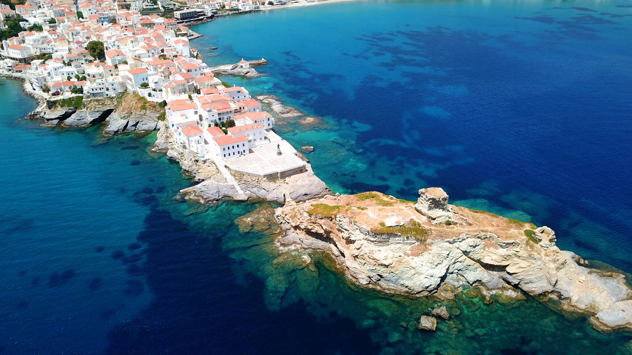
In front of Riva Square is the Kamara, the arched bridge that connects it to the Venetian castle on the dry island. It was built in the period of the oppressor Dandolo (1207-1233). The castle with its towers, battlements and Venetian coats of arms was blown up by the German conquerors in 1943. Together with it, the square of the Vanished Sailor – also known as the ‘Embirikeika of Rivas’ – was destroyed and later reconstructed.
Only ruins of the castle remain, but it is well worth going there because the whole seafront of Chora can be seen from there, and there are also stairs leading down to a concrete platform over the water where locals still swim.
Stenies
The sight of this large and naturally opulent village, divided into Upper and Lower Stenies and built amphitheatrically on the hillside amidst rich vegetation, is impressive. Walking in Ano Stenies, admire the impressive old houses of the ship-owners and captains and the archaic fountains. In Kato Stenies, the sturdy Bisti-Mouvela tower stands out from a distance; this is where local inhabitants used to take refuge to save themselves from raiders. It is thought to be from the 17th century and near it there is the Leondos stone bridge.
Apikia and the Sariza spring
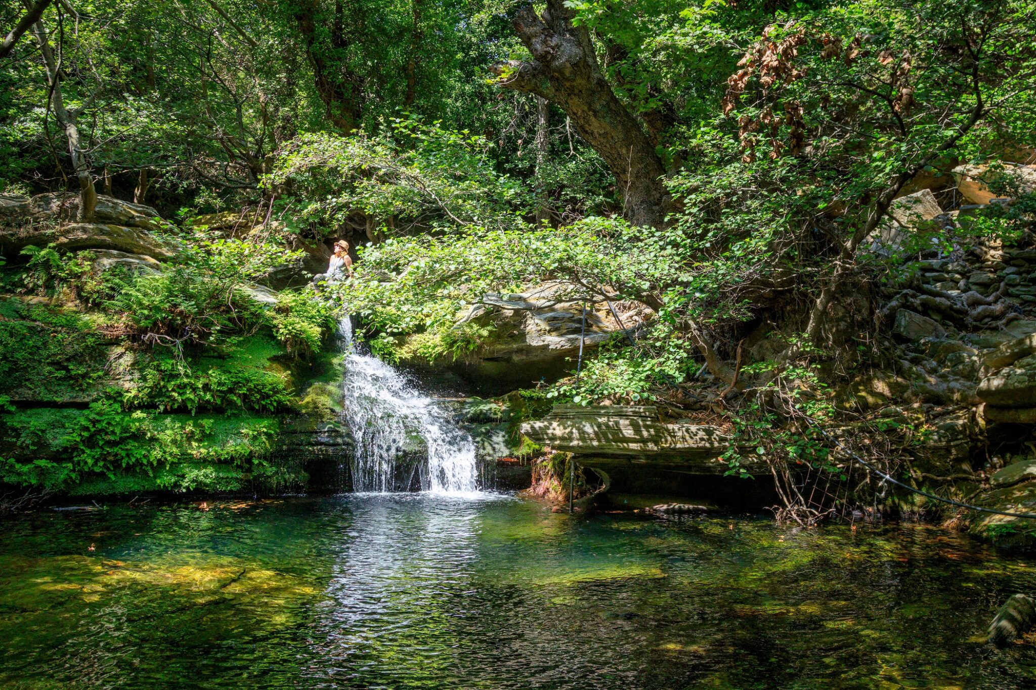
Driving on the road to Apikia, the plane trees and running waters will remind you of lush Pelion. Just before the village, stop at the sign reading “towards Pithara springs”. Within 10 minutes you will reach a small and beautiful waterfall set in a leafy, rocky landscape. In the village, walk up the stone steps to quench your thirst at the stone-built fountain, where until today locals and visitors alike head to fill their water bottles.
At the start of the 20th century, the area was a popular tourist destination as the spring waters are found to help heal kidney stones, among other benefits. A little further down, you will see the factory where water has been bottled for years under the name “Pigi Sariza”. After the factory, you will see the bell tower of Panagia Katasirtis down the road. One kilometre after Apikia is the old monastery of Agia Irini (1780) which has very interesting architecture. Unfortunately, you cannot look inside it because it is closed to the public.
Paleopolis and Hermes of Andros
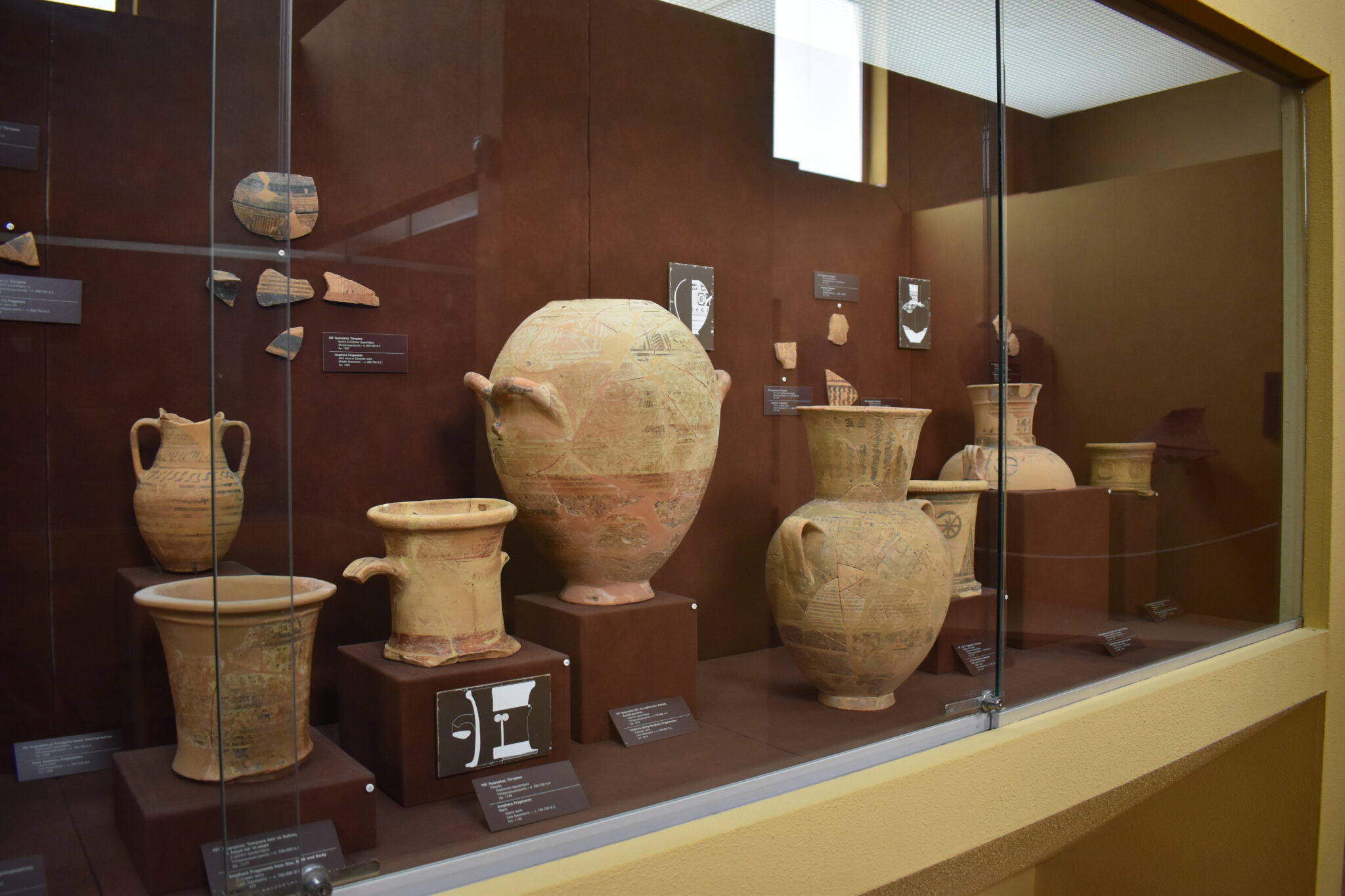
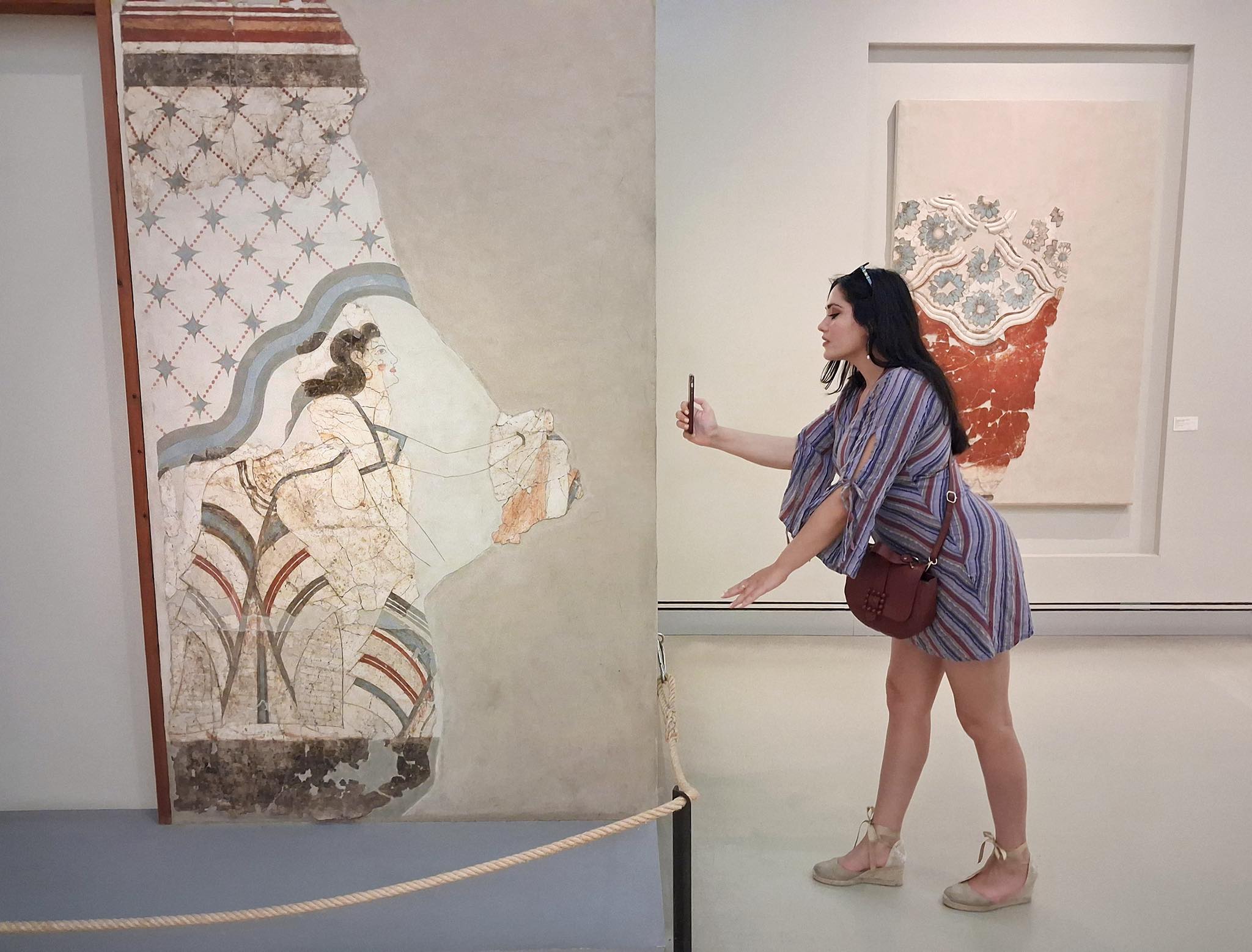
From the 6th century BC to the 6th century AD, Paleopolis was the island’s capital. In modern times, the city was discovered by explorers (during the 19th century) and the first excavation was made by the famous urban planner Cleanthis. In 1832, in the Lykourezis field, the Hermes of Andros was unearthed, together with a female statue of the “Great Irakliotissa”. Since 1981 both have been housed in the Archaeological Museum (see Culture) of Chora.
The second excavation in Paleopolis was carried out in 1956 by the archaeologist Nikolaos Kontoleon, who unearthed the town’s agora, located on the coast, and a large building with a series of dedicatory pedestals of statues on its facade. Finds can be seen at the Paleopolis Archaeological Collection (see Culture), located in the Paleopolis village. On the beach of Paleopolis, the ancient pier, now submerged underwater, is visible from above.
The lighthouses of Andros
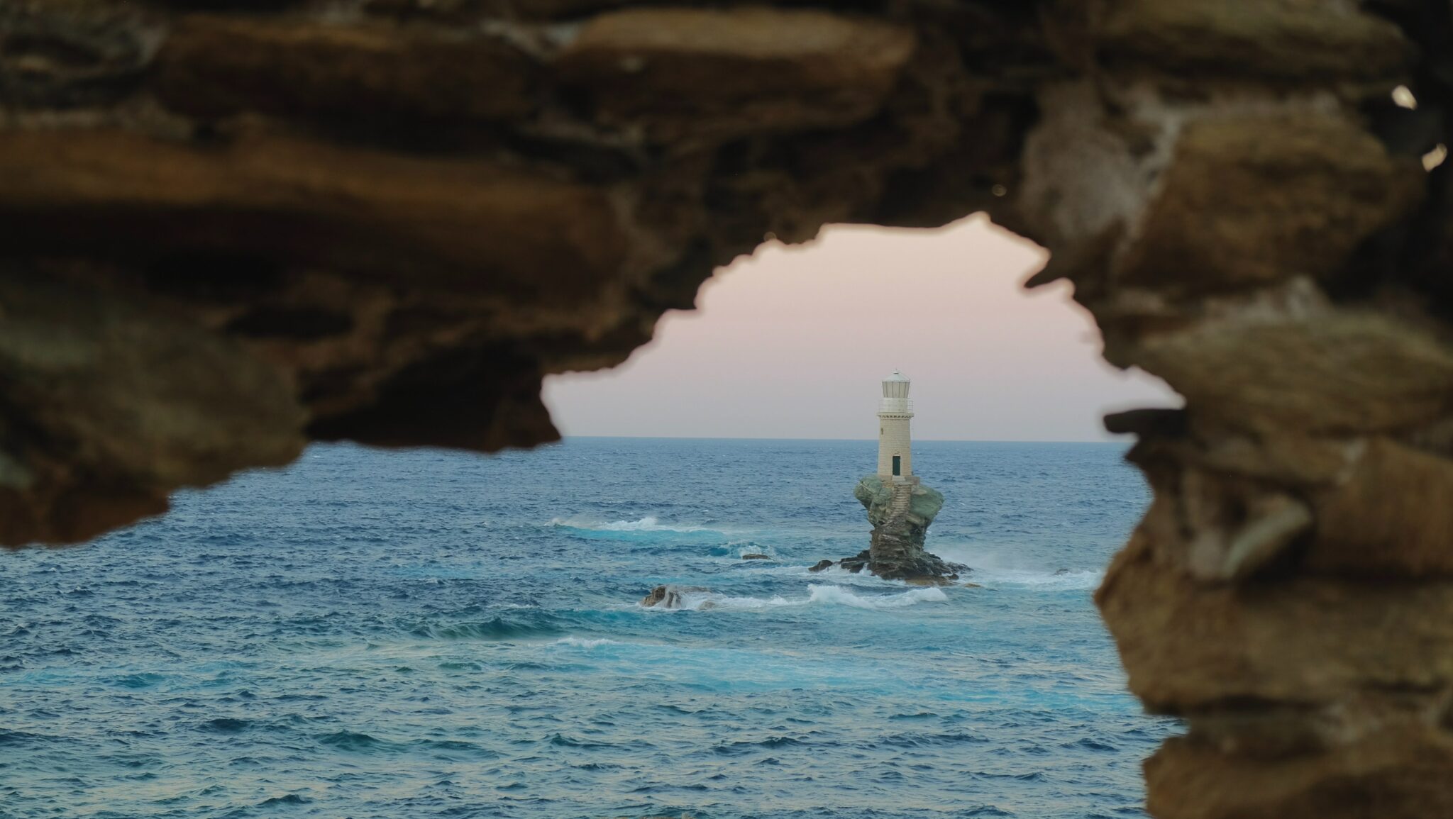
Tourlitis in Chora is the only Greek lighthouse built on a rock in the sea. It dates back to 1887. It was completely repaired in 1996, at the expense of the Goulandris family. Tis Grias in Achla is at the edge of the cape called Gria, driving towards Achla beach. It was inaugurated in 1914 and the height of its round tower is 12 meters. Fassa is located on the northwest side of the island. It was built in 1856 and has lighthouse keepers.
The monastery of Agios Nikolaos
A large and opulent monastery with bell towers, arches, monk cells and a catholicon believed to have been built by craftsmen from Chios. Founded in the 11th century, it was abandoned and re-inhabited between 1450-1480. Aghios Nikolaos’ skull is kept in the monastery’s catholicon. From a path that starts near Aghios Nikolaos, you can walk to the beach and the wetland of Achla, crossing a landscape of unique beauty. It is Path 6 of the organized network of hiking routes (see Activities) on the island.
The Monastery of Panachrantou
A famous monastery with very interesting architecture, which was first mentioned in the late 16th Century and, according to tradition, was founded by Nikiforos Fokas. It gained fame during the 17th century, and during the Greek Revolution, was home to up to 300 monks. The church of Agios Panteleimon houses the saint’s skull. The Catholicon has a carved wooden iconostasis that is considered one of the most beautiful on the island.
Bridge and Cave of Aladinou
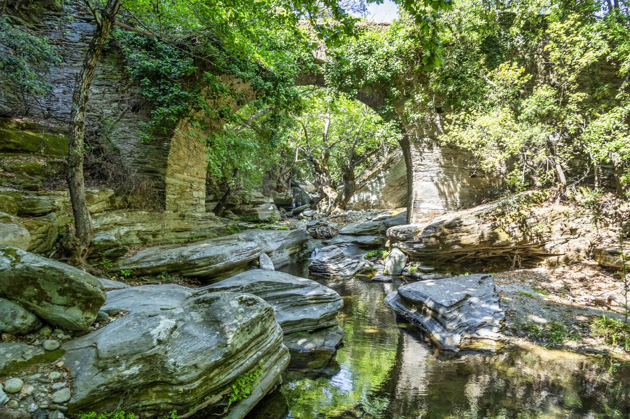
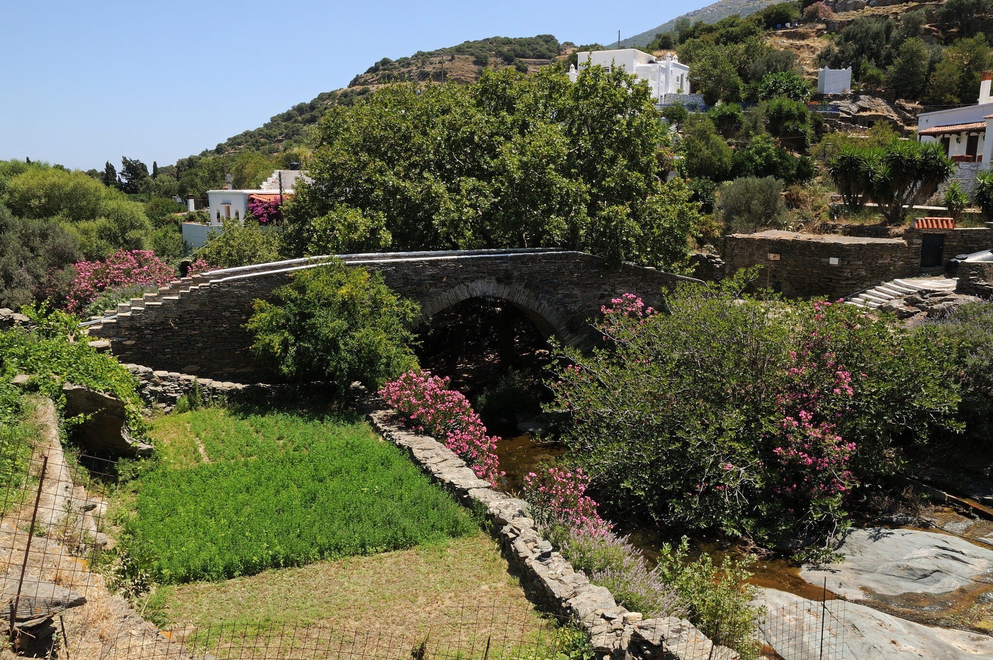
Aladinos, with its one-arched stone bridge built in 1680 on the Megalo Potamos river, looks like a painting. It is believed to have been built by Epirot masons and is one of the many that exist on the island. A small stone path leads to the cave of Aladinos. Called Foro (or Chaos), it was first properly explored by Ioannis Petrochilos (the founder of speleology in Greece) and mapped in 1965 by his wife Anna Petrochilos. The cave has an area of 500 square metres but the path to the visitable part is 150 metres long. For safety reasons, you can only enter with a guide, wearing a helmet and a flashlight that is provided to visitors.
The Area of Korthi
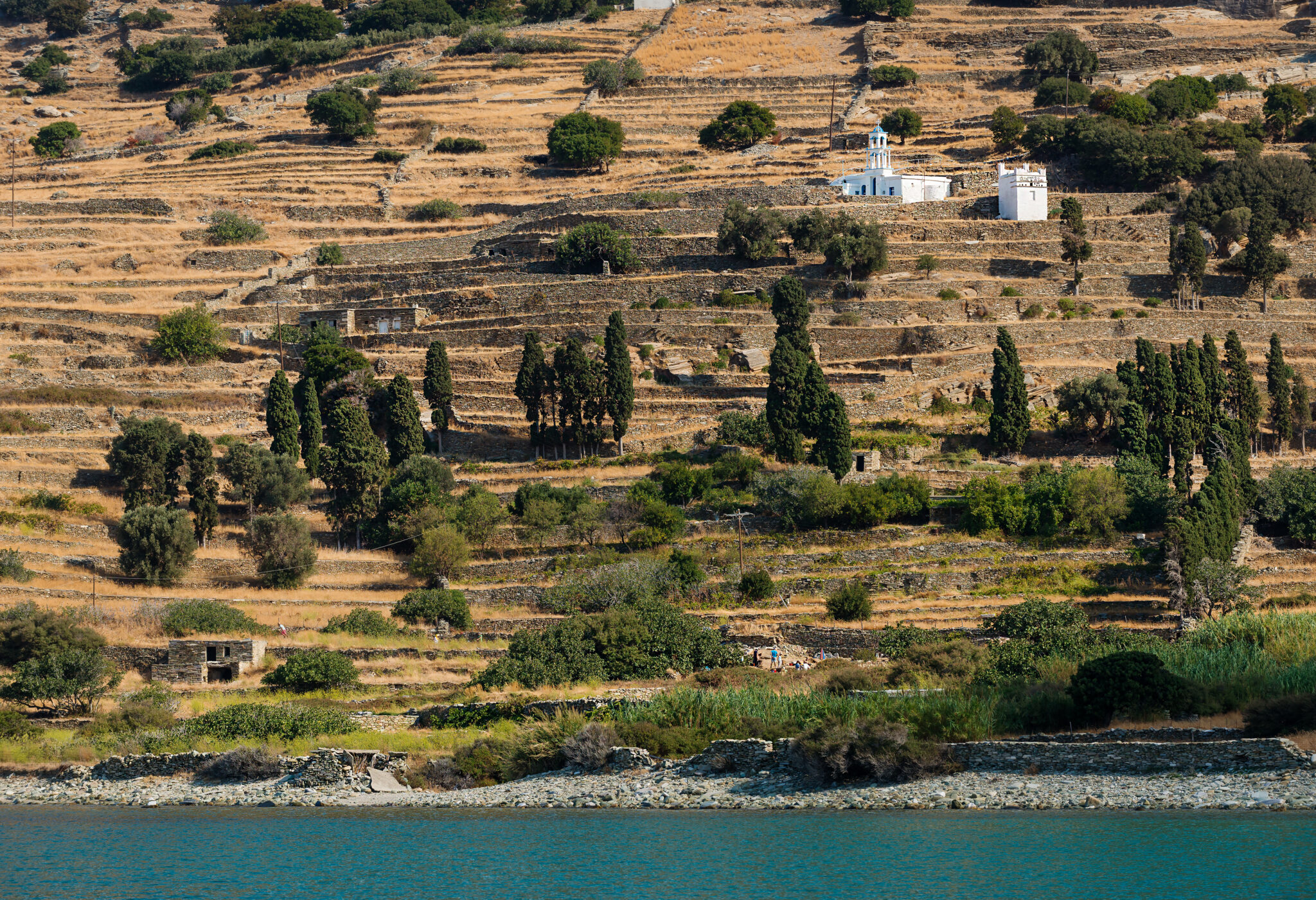
Entering the area of Korthi, you’ll probably feel like you’re on a different island. As it is nearest to Tinos, it looks as if it has borrowed some of its neighbour’s morphology. However, the seemingly barren (from above) landscape hides plush vegetation, springs, water mills, old villages, pretty beaches and chapels. In Korthi there are also many paths and a network of dirt roads that lead to virgin beaches such as Agia Moni, or Agios Ioannis in Kremmides, to the Andros-Tinos Strait, and other exciting places. The main settlement of the whole area is the seaside Ormos Korthiou, which in summer is crowded with people. There are many rooms to let and small hotels, nice fish tavernas, modern restaurants and café-bars as well as simple stores.
Korthi was the island’s old shipyard where the ship of the line coming from Chora used to dock. The settlement was built in the 19th-20th century, but only a few of the old houses are preserved on the coastal front. The main inner pedestrian street will bring you to the central Heroes’ Square where the primary school, Naval Club and a small folklore museum are located.
The most beautiful village of Korthi is Aydonia, with its restored stone houses and tower houses. In the centre of the village, there is a wooded area and if you follow the sound of the water you will reach “Potamos“, where you’ll see an old fountain with marble decorations and “washers” that are still in use.
Other villages of Korthi that are worth visiting are Episkopio, Kochylou and Syneti, the latter with an impressive (still not organized) beach in the homonymous bay. The whole upper part of the area after Aydonia, has small settlements (Ano Korthi, Mousionas, Amonakleiou, Nionas, Piso Meria).
The Dipotami in Korthi
Hikers love this gorge (Path 3 in the organised network of routes). It stretches for seven kilometres and is part of a trail that until 1950 was taken by those travelling from Chora to Korthi and vice versa. It is signposted, so you can easily get to know this small paradise world with its lush vegetation, the old watermills and the stone arched bridge.
The Castle of Faneromeni
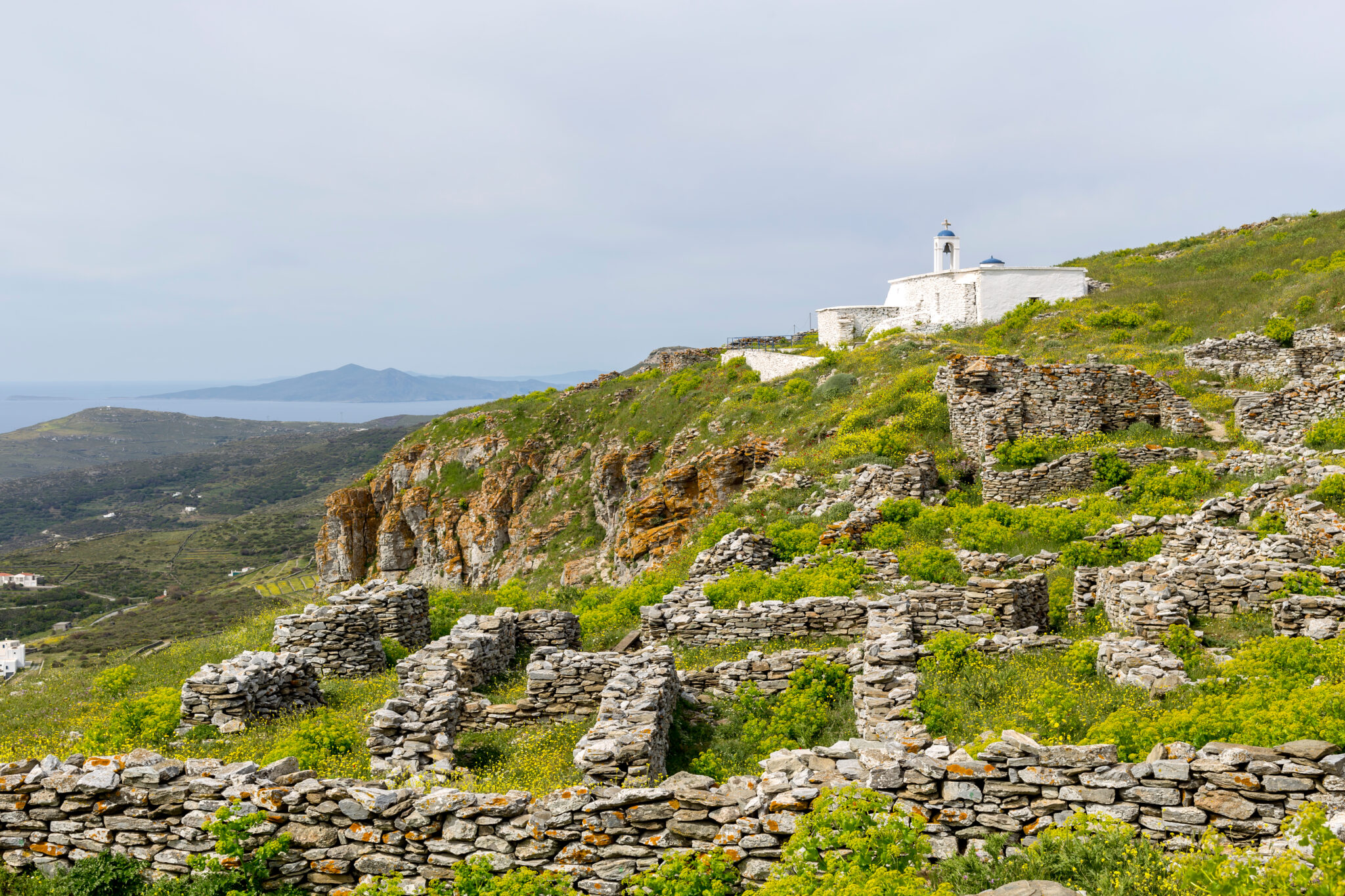
It used to be called Epano Kastro or Paleokastro and the high rock with the flat top stands out from everywhere. Driving past the village of Kohilou you will reach the base of the steps leading to the impressive castle from where the view of the Aegean Sea is boundless. You will see the ruined houses, the underground reservoirs and the church of Faneromeni (Assumption of Theotokos). The castle dates back to the Middle Ages – however, there are also traces of Roman fortifications. It is an important example of the defensive architecture of the period.
Lamira
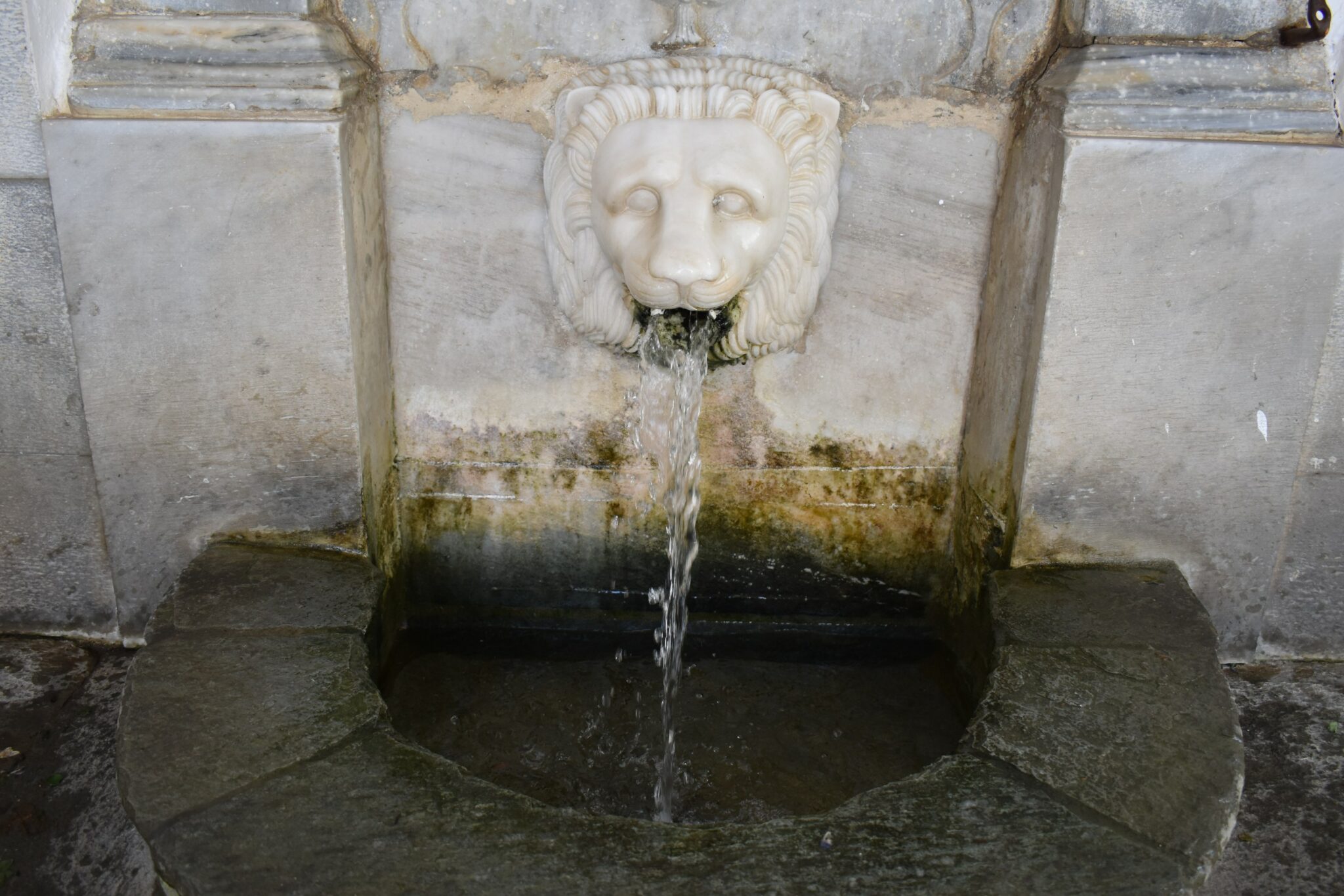
It is said that the village of the Embeirikos and the Kairis families got its name when the traveller Tournefort called it the “Myra of Andros”. It has admirable houses surrounded by lush vegetation. The main alley passes by a marble fountain with a lion and ends at the building of the old Parthenagogue. A path starts from there, leading to the villages of Ypsilou and Menites. Inside Lamira you will see another beautiful fountain from 1840. Climbing higher you will enjoy panoramic views of Chora.
Batsi
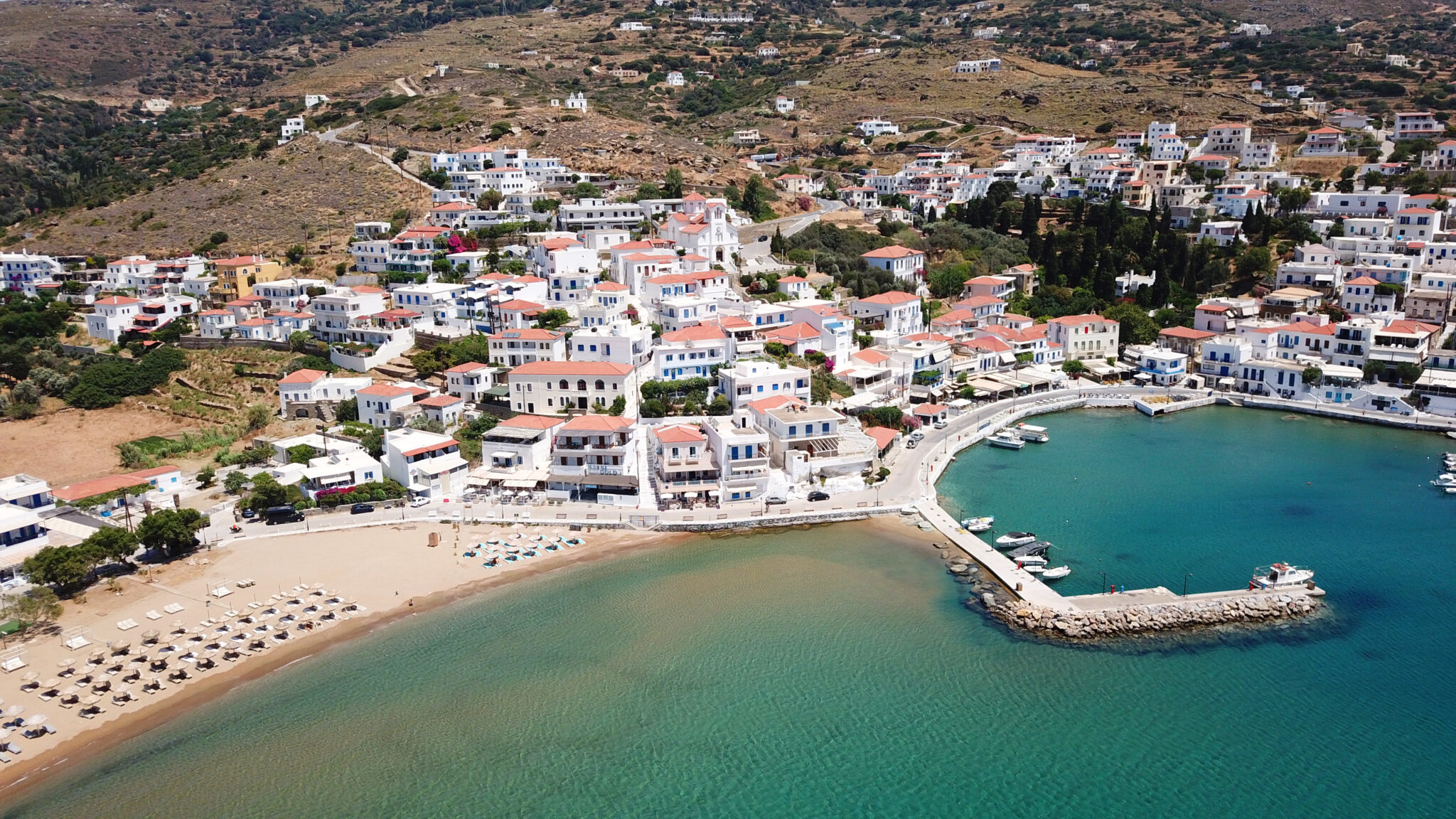
The aesthetics of the ‘70’s and ‘80’s prevail in this large, charming village with a sandy organized beach, where tourists flock even in winter when visiting Andros, as in the off-season months the Chora is almost deserted. The rental beds remain in their thousands, reminiscent of the glorious days of the past when Batsi was all the rage and everyone talked about the film “Girls in the Sun” that was shot there. In Batsi there are many cafes and bars, taverns, souvenir shops and all other infrastructure like nice accommodations. If you want to hike around the village, you can opt for the cobbled road to Ano Batsi and Piso Vrisi, as the locals call it. The walk to Stivari (see Beaches) and the beach of Agia Marina is striking and ends with a rewarding swim.
Gavrio
Your first image of Andros when arriving by boat is that of Gavrio – and it certainly doesn’t do it justice. The village was developed in the early ‘70s, when ferry services to Chora were stopped after pressure from ship-owners who opposed the development of tourism on their side of the island. Gavrio has unremarkable architecture and several tourist shops, rooms to let and a large hotel, tavernas, ouzeries and café-bars. People often stop at the pastry shops here to buy boxes of traditional “amygdalota” almond cookies to take home or as a gift before hopping on the boat. Setting off from Gavrio you can make trips to northwest Andros. (see Discoveries).
Read also:
Hiking on Andros: Walking the Restored ‘Calderimia’
Andros – An international hiking destination in the Cyclades
Andros: Comprehensive guide to this charming Cyclades island


