


After our first part of hiking on Andros, here are 4 more routes that will have you mingling with goats, wandering through lush river valleys, rambling along misty mountain tops, looking down at hunting hawks and circling buzzards and refreshing yourself with cool mountain spring water.
Stiva Rogou – Lardia – Giannisaio – Mesa Vouni (Part of Route 5 of the Andros Routes network, 4km / 2h15΄)
This trail route starts at the village of Stiva and continues along well signposted wide stone steps. The first part of the path leads to the a tarmac road, south of the village of Giannisaio. On the opposite side of the road you’ll come across a signs for Giannisaio, follow this into the village. Here most of the alleyways lead you to the main square and then onto some springs and orchards. To the north of the village rejoin the path that will lead you to Mesa Vouni, a unique farming settlement on Andros, nestled in a fertile mountain plain.
Chora – Apikia – Katakalaioi – Vourkoti (Route 2 of the Andros Routes network, 7,8 km / 3h)
The route starts at the beach of Nymporio. There’s a signpost to the left of the road showing the path that leads between some whitewashed houses, just before the ‘Tourlos’ rock that juts out the sea close to the beach. This path goes west for about 50 meters before heading north, climbing steadily towards Apikia, cutting through the old stone terraces, scaring the mountain side. The views of Chora and the craggy peninsulas of the island dipping into the Aegean become progressively more striking as you scale the mountain. The trail crosses the main road several times, but is well-marked and easy to follow. Just before you reach Apikia, take a dirt track that leads all the way up to the village. You cross a photogenic old stone bridge and continue the ascent up some steps. After traversing most of the village, you’ll reach the famous Sariza spring where crystal clear water gushes from the open mouth of a marble lion head. Keep following the path uphill out of the village and towards Katakalaios, a little hamlet snuggled in the nape of the mountain. Beyond Katakalaios make the final push uphill to the cool and often misty village of Vourkoti.

Panahrantou Monastery – Messaria – Menites (Part of Route 1 of the Andros Routes network, 4 km /2h)
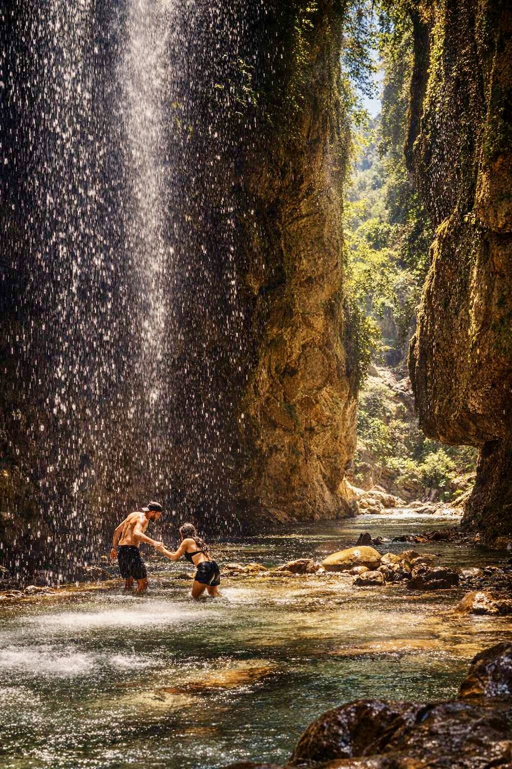
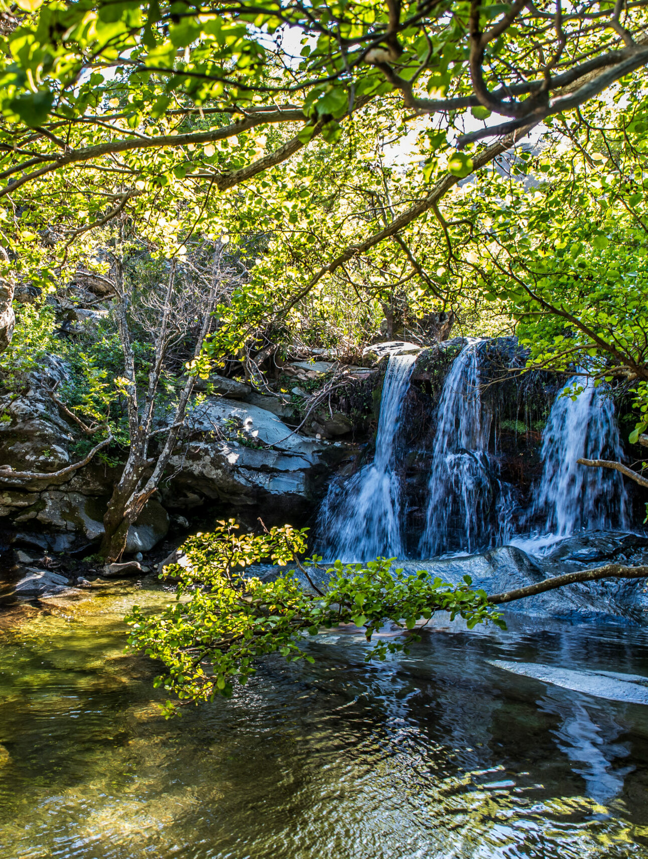
This hike begins on the dirt road after Panahrantou Monastery (aka Agios Pantelemonas), next to a spring. The path is well marked and very pretty and descends towards Messaria. Almost all of the ‘calderimi’ is paved with large stone slabs and it snakes its way to village Mesaria from the monastery. The path crosses the river over the bridge of Haikuomeni and eventually ends at the main road at the approach of Mesaria. At a junction, just before you leave the main road, on your left you’ll spot a dilapidated and crumbling old Tower (The tower of Kairis). Following the signposting, pass through the houses to continue onto the second leg. Walk besides irrigation ditches tinkling with clear spring water and stone-terraced fields upwards to Menites. As you progress the path starts to follow the course of the river and the vegetation becomes dense and jungle like with plain and oak trees offering welcome shade. Hiking up the final stretch on this path, past old farmhouses, water running to your left and right, the sun breaking through the thick canopy of leaves, is like walking through a valley conjured in books of fairy tales.
Vourkoti – Arni (Route 12 of the Andros Routes network, 6,9 km / 2h15΄)
This stunning mountain top trail starts next to the fountain, under the old taverna “O Vrachos“. At the beginning there are a few steps that lead you to a ‘calderimi’ between the stylized Andriot dry stones walls. Leaving the dry stone corridor behind you, you reach an old gate, continue past (making sure to close the gate after you, to keep the goats in) and you’ll notice that the path widens considerably into a rocky and rutted dirt track. As you reach the ridge of the mountain the shrubby vegetation thins out but the views of the island below and the uninterrupted Aegean horizon become more and more impressive. Follow the craggy ridge with care, it’s not uncommon that you will be enveloped by thick damp mists and swirling cloud. Keep on ascending up the ridge, until you eventually reach the first peak at a giddy height of 949 metres, continue to the second summit, which you bypass on its northern side, and from there you descend down a path towards the chapel of Prophet Elias. Here you’ll be treated to a view of both the Cycladic islands to the west and the Aegean sea to the north. Follow the path for another 1.1 km until you come across a sign for the path that takes you down into the village of Arni.

For Andros, TERRAIN has published a detailed hiking map at a scale of 1:25,000 which shows the entire network of signposted hiking trails Andros Routes and all the other trails on the island, all the beaches, chapels, monasteries as well as many of the sights of interest, with maximum accuracy. You will find it in selected shops in Andros and Athens, or you can purchase it here: http://www.terrainmaps.gr/#products.
You can also download it in electronic form onto your mobile phone from the Avenza Maps website (www.avenzamaps.com)
Read also:
Andros – An international hiking destination in the Cyclades
Astypalaia: the top 10 hiking trails on “Aegean’s Butterfly”