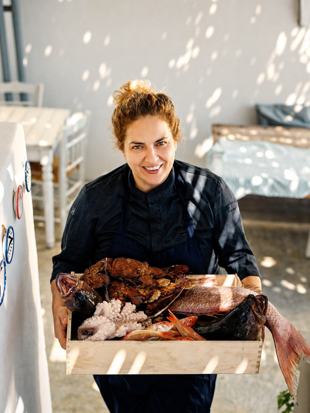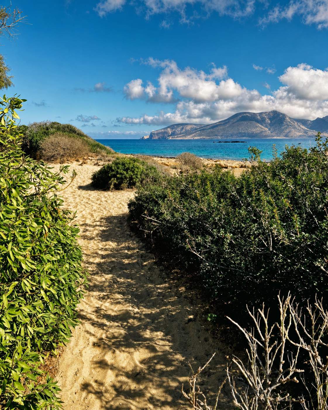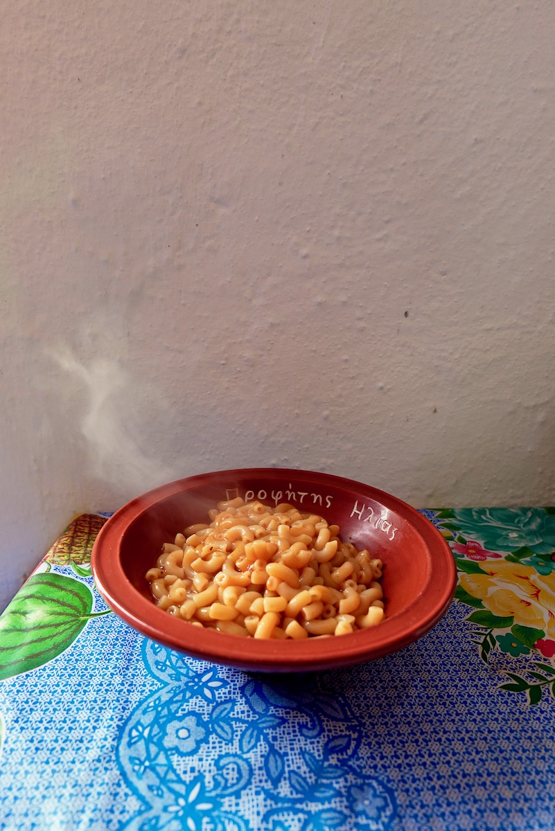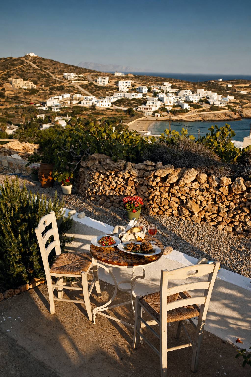



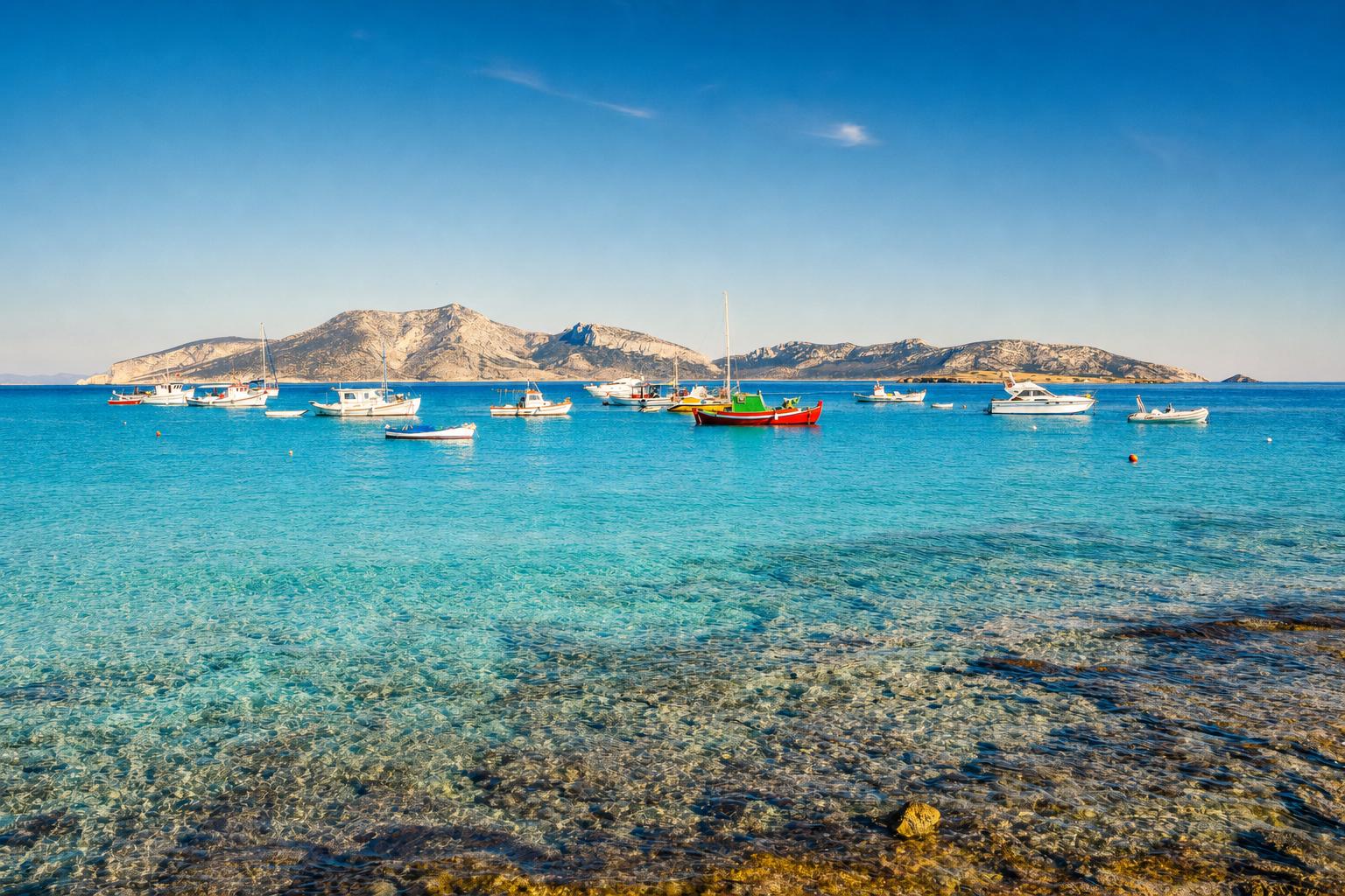
Between Naxos and Amorgos, strung out like an afterthought on the map, lie four islands that most travelers, even seasoned lovers of Greece, have never set foot on: Iraklia, Schinoussa, Koufonisia, and Donousa. Together they make up the Small Cyclades, and for anyone whose Aegean geography ends at Santorini and Mykonos, they may as well be a foreign country within the country. That is precisely their appeal. There are no airports here. The only way in is by sea, aboard the small ferries of Small Cyclades Lines, which have worked this route since 1956 and remain as much a lifeline for locals as a means of arrival for visitors. Stepping off at any of these four ports is stepping into an older, slower version of Greek island life, the kind that elsewhere survives mostly in memory and in photographs.
Cars are scarce on all four islands, though small local buses with low-priced tickets run through the day in the high months of July and August. Getting around means walking old field paths, cycling between beaches, or hopping aboard the small boats that shuttle along the coastlines in summer, and this is not a limitation but the whole point. What these islands share is that unhurried rhythm; what sets them apart from one another is everything else, from Iraklia’s wild, thyme-scented solitude to Schinoussa’s soft green hills, from Koufonisia’s turquoise sociability to Donousa’s end-of-the-line bohemian remove. Consider this your introduction, one ferry stop at a time. We have prepared detailed guides to each island, which you will find beneath the relevant sections as they are published.
01
Iraklia
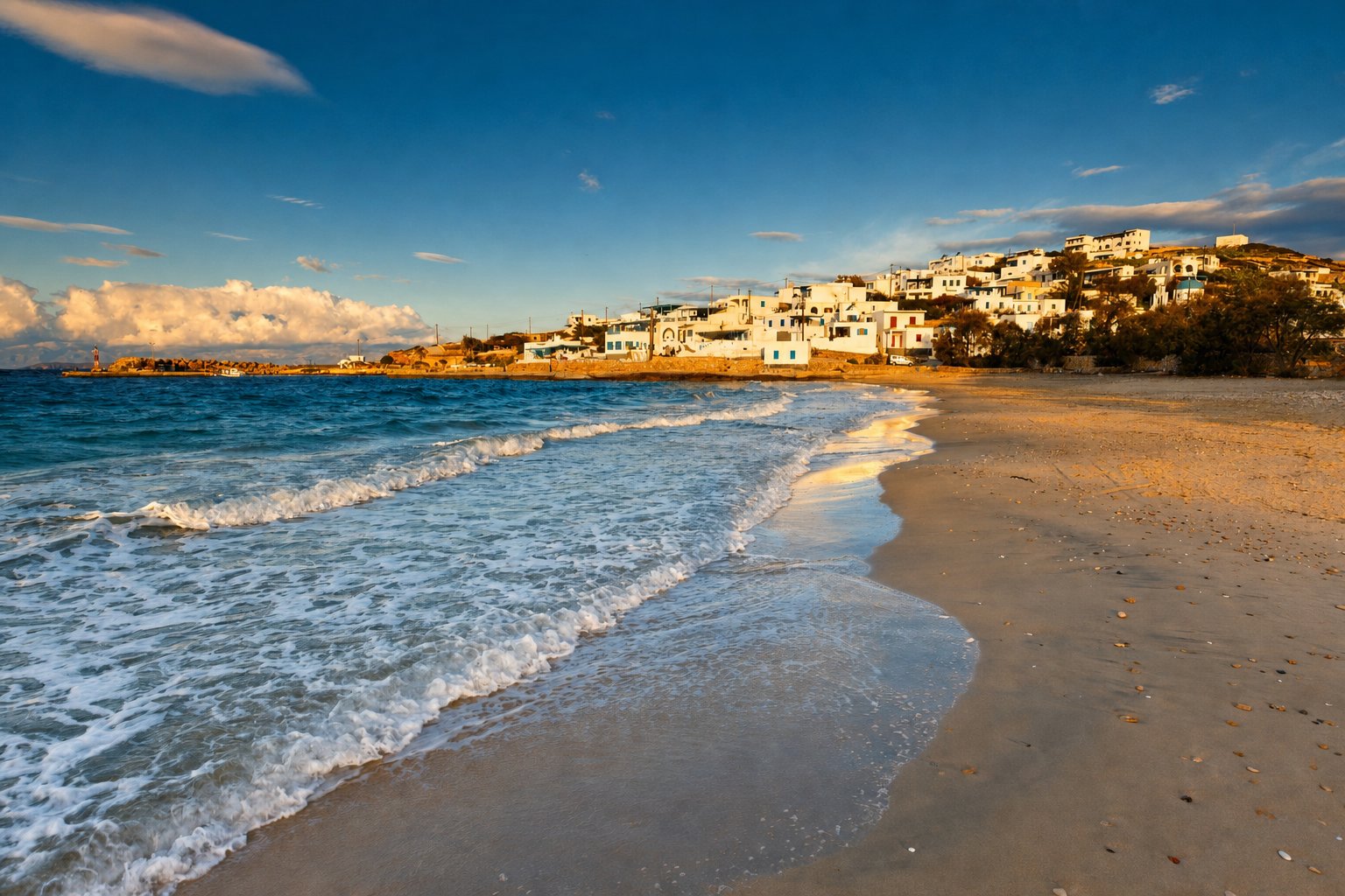
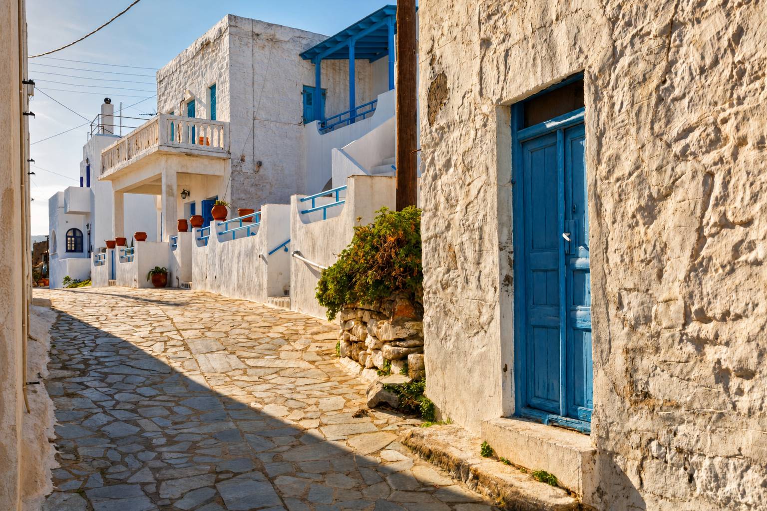
Iraklia, the westernmost and, at nearly 18 square kilometers, largest of the Small Cyclades, is also the quietest: a year-round population of around 150, and a landscape of dry cliffs and wild thyme that rises to Mount Papas at 420 meters, from where some 19 neighboring islands are visible on a clear day. Its 2 settlements, the port of Agios Georgios and the hillside village of Panagia, are separated by scrubland and 9 small churches rather than any real distance; a 3rd, Agios Athanasios, is nearly abandoned.
Excavations at Livadi have turned up finds from the 3rd millennium BC, and a Hellenistic fort still looks out over the bay from above Livadi Beach, reached on foot along a marked coastal path in about 30 minutes. 8 signposted trails cross the island in total, the longest and most rewarding running from Panagia to the Cave of Agios Ioannis, a 90-minute walk through herb-scented scrubland to a dramatic chamber where local legend places the Cyclops Polyphemus tending his flocks after the Trojan War.
From the summit of Mount Papas, a steeper 2-hour climb from Panagia, the view takes in most of the Small Cyclades at once. In summer, small boats run from the port to Alimia on the southwest coast, where the wreck of a German aircraft from World War II lies close enough to the surface to snorkel over.
02
Schinoussa
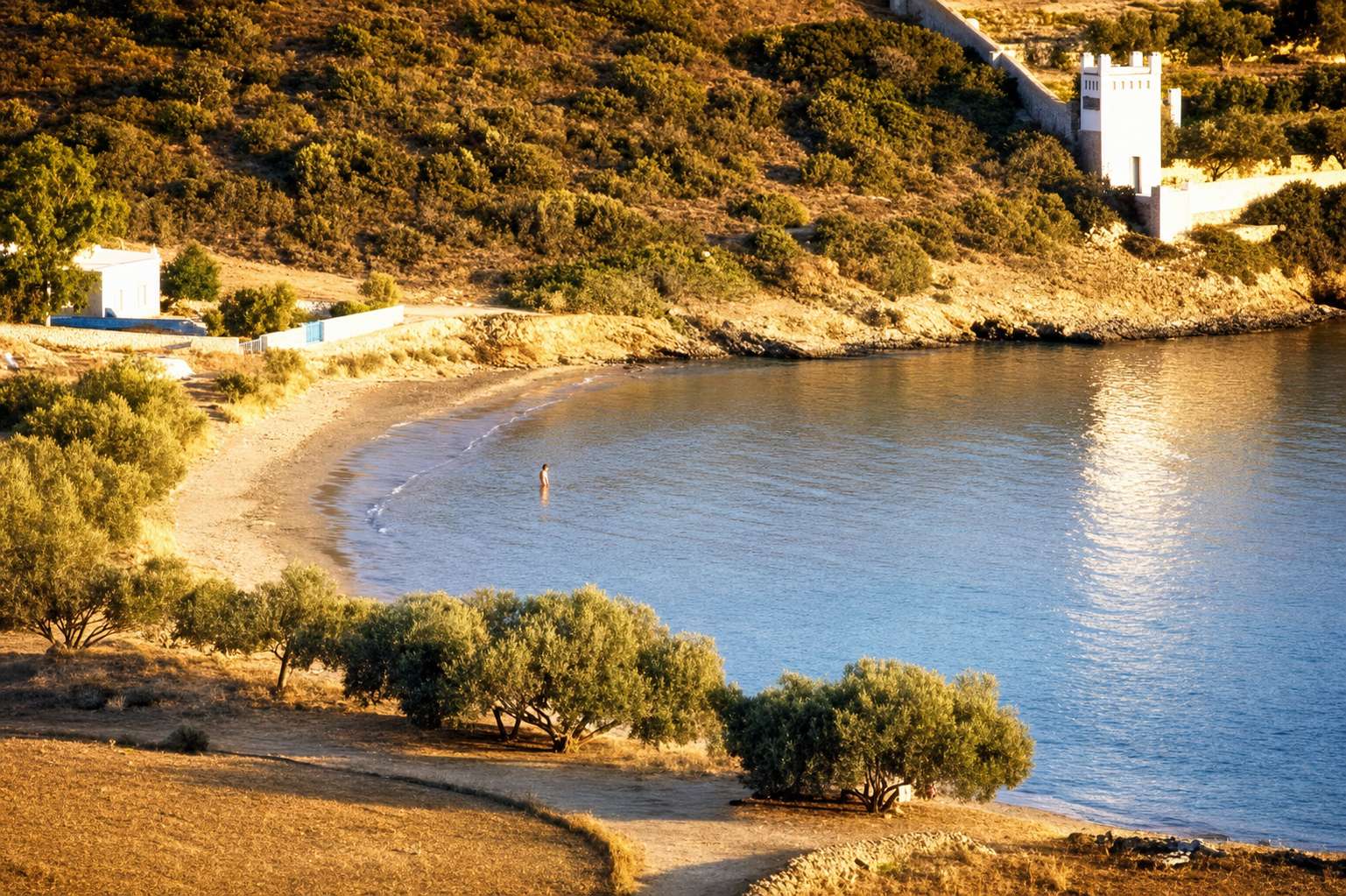
Schinoussa, the next island along, is small (9.5 square kilometers, around 250 residents) but softer in every sense: low green hills, cultivated hollows, and a reputation as a favorite anchorage for private yachts. Its Chora, also called Panagia, sits on a ridge 1.2 kilometers above the port of Mersini, with a 2nd, smaller settlement, Messaria, further along among vineyards and vegetable gardens.
The island has been inhabited since antiquity and played a supporting role in the early Cycladic civilization centered on nearby Keros; Byzantine-era ceramic finds and the ruins of raided churches point to centuries of piracy, and the island was resettled largely by families from Amorgos in the mid-19th century.
A 90-minute walking circuit links Chora to Messaria and down to the coast, passing 2 sea caves near the port once used by those same pirates and visitable by small boat, and the low ruins of a Venetian-era lookout above Chora with views across to Amorgos. Charakas Gorge, on the island’s southern flank, has become a modest but genuine destination for rock climbers, with routes bolted into its limestone walls.
Schinoussa’s more than a dozen beaches, reached mostly on foot along old field paths, mean a different one can be picked for almost every day of a stay; today the island is protected under the EU’s Natura 2000 program for its migratory birdlife.
03
Koufonisia
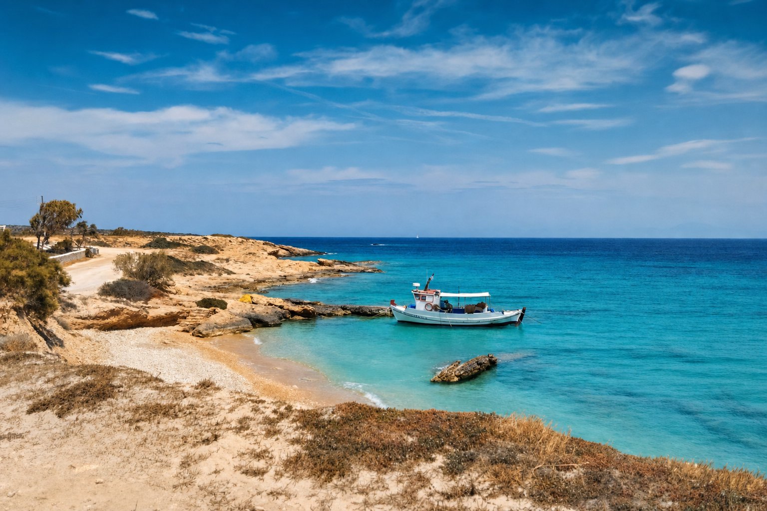
Koufonisia is the outlier: 2 islands, the inhabited Ano Koufonisi and the uninhabited Kato Koufonisi, are separated by a narrow strait, and it is by far the busiest and most fashionable of the 4. Ano Koufonisi’s permanent population of around 400 makes it the largest settlement in the group, and its turquoise water, often compared to the Caribbean, has turned it into a destination in its own right. Its single village, Chora, is a tight grid of whitewashed, blue-shuttered houses around the port, walkable end to end in minutes and easiest to explore on a rented bicycle.
A coastal path leads east from Chora past a run of beaches to Pori, around 40 minutes on foot, with the option of continuing to a natural rock pool known as the Pisina and a sea cave, the Devil’s Eye, just off the same trail. Kato Koufonisi is reached by kaiki from the port in summer, a short crossing to wilder, largely unserviced beaches. Keros is visible from Ano Koufonisi’s eastern shore but is a protected archaeological site rather than a casual visitor stop; it was a major ceremonial center of the Early Cycladic world, and the marble figurines excavated there anchor museum collections in Athens and beyond.
The atmosphere on Koufonisia is livelier than anywhere else on this route, with a handful of bars doing steady trade into the small hours, though the island’s character is more sociable than rowdy; the real edge of footloose, younger energy is on Kato Koufonisi, where a small community of free campers gathers each summer on its more remote beaches.
04
Donousa
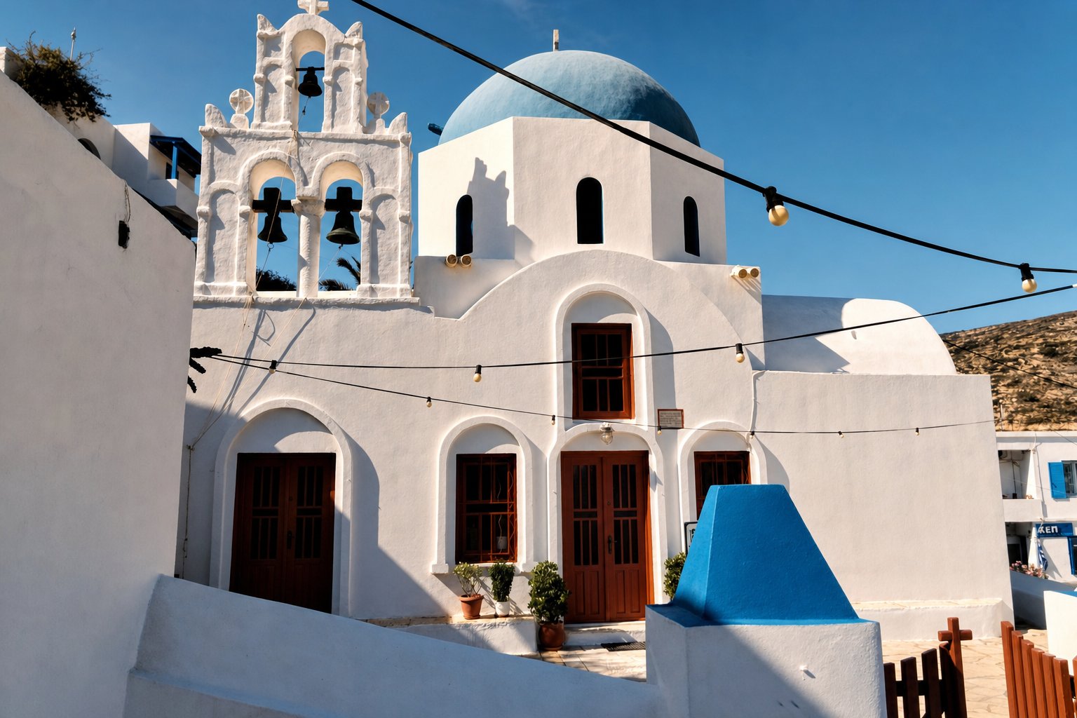
Donousa, the northernmost and final island in the group, is the most remote and quietly bohemian. At around 14 square kilometers with a population in the low hundreds, it has a jagged, cave-riddled coastline in the northeast and a string of sheltered sandy bays to the south. Stavros, its main village, rises in a tidy amphitheater above its small harbor. Prehistoric settlement, including a fortified Geometric-era site at Vathi Limenari near Mersini, points to a long history; a short-lived mining industry closed in 1938.
5 marked trails cover the island, the best known a 90-minute walk from Stavros to the beach settlement of Kalotaritissa along the coast, and boat excursions run in summer from Stavros to 2 sea caves on the island’s wilder northeastern side: Spilia Tichou, hung with stalactites, and a 2nd cave at Kavos of Moschonas that shelters a colony of Mediterranean monk seals, best watched from a respectful distance.
For decades, Donousa has drawn free campers and travelers seeking real isolation. Of the 4 islands on this route, it is the one where the outside world feels furthest away.