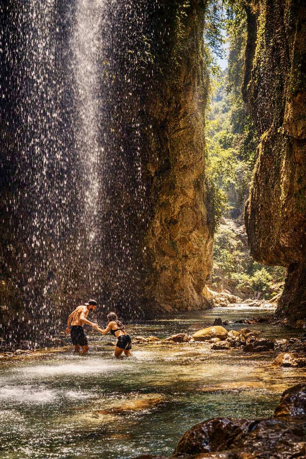


Thasos is a hiker’s paradise, offering endless trails and tracks that wind through dense forests, lead to pristine beaches, and showcase the island’s rich history, cultural landmarks, natural springs, and breathtaking vistas. In addition to well-marked trails, there are also hundreds of kilometers of forest paths that provide just as much enjoyment for hikers.
However, it’s worth noting that the trail markings on Thasos can be inconsistent – some may only be in Greek, others may be incomplete or missing altogether, and some may be overcrowded with information. To make your hiking experience as seamless as possible, be sure to use the Thasos hiking map from TERRAIN, which features a special numbering system to help you navigate the island’s trails with ease.
Potamia- Korifi Ypsario: 6.1 km/ 4 hours
This is a relatively demanding trail that features significant changes in elevation and is recommended only for hikers in top physical shape. For your return journey, it is recommended to arrange for a ride from the mountaineering club. However if you do choose to return to Potamia via the same trail, using trekking poles can help support your knees during the steep descent.

Go to the western edge of Potamia and climb the cobblestone path that heads west (there is a large sign indicating “Mountainous Trail to Ypsario“). At 1,100 meters, the cobblestone path ends at a dirt road, which you follow to the west. Approximately 900 meters below, you will reach a crossroads, where you continue straight (west) on the rugged dirt road that follows the ridge. At the next intersection (400 meters below), follow the left (south) direction, and after 300 meters you will see the start of the trail that ascends steeply to the side.
After 1,900 meters, you will reach the saddle between the peaks of Spitioudia (1,048 meters) and Ypsario (1,206 meters) and encounter the rugged dirt road, which you follow to the left (south) to reach (after 400 meters) the shelter of the Thasos Mountaineering Club at the foot of Ypsario. From here, you can see the entire trail you have followed so far. The ascent to Ypsario (1,245 meters) takes about an hour and a half. The descent takes about an hour.

From there, the marked trail takes you, after 1,000 meters and half an hour of walking, to the highest peak of Thasos, from where the view of the Island and the Aegean beyond is breathtaking. The entire ascent from the beginning of the trail is tiring, the altitude difference is large, and you will need to start your hike early in the morning to have the whole day ahead of you. You will find potable running water at several points along the ravine before the shelter, but it is advisable to bring enough water with you.
Potamia- Prophet Elias Peak: 5 km/ 3 hours
This hike is equally challenging and demanding as the one to Ypsario. Its starting point is the same as the previous route, but at the point where the trail to Ypsario begins, you continue for another 500 meters on the rocky path towards the north until you encounter the sign for the trail to Prophet Elias. The trail is wide and well-marked, but the slope is steep and the ground is slippery (trekking poles are a must).

From there, the marked trail takes you 1,000 meters and half an hour to the highest point of Thasos, from where the view is stunning. The entire ascent from the beginning of the trail is tiring, with a significant altitude difference, and you will need to start your hike early to have the whole day ahead of you. You will find drinkable running water at several points along the ravine before the hut, but it is better to have a sufficient amount of water with you. The bare hillside with low vegetation offers an excellent view throughout the journey, with a particularly stunning view from the top of Prophet Elias (1109 meters). For your return, a good idea – if you have time ahead of you – is to follow the ridge southwards, go to the neighboring top of Spitoudia (1048 meters), then follow the path southeastwards and the mountaineering club shelter, and just before the shelter take the trail that will take you back to Potamia (Route 1, in reverse).
Potamia- Panagia: 2.2 km / 50 min
A short and very enjoyable jaunt on the old road “calderimi” that connected the two villages, long before the current asphalt road was built. In certain areas, the cobblestone surface is preserved. It starts from the north side of Potamia, passes through a dense pine forest, passes by an old church in the forest, turns east and after a while makes a sharp turn from the dirt road that unfortunately intersects exactly on the site of the old ‘calderimi’, destroying it.

Lefki- Theologos: 11 km/ 7 hours
This is a long, scenic hike that is demanding but also very rewarding. One of the best hiking trails on Thasos. From Potamia, follow the southbound asphalt road until it ends after 2 km in the Lefki area. Make your way to the church of Agios Dimitrios and begin the hike by following the stone wall of the campsite, then crossing a wooden bridge over a stream with an olive grove on your right. After the wooden bridge turn right onto the well-marked path until you reach a dirt road. Follow the dirt road to the left (south).

At 400 meters, you will see an extremely rutted dirt road on your right, which has essentially become a trail (the TERRAIN map marks it as a trail) with rough red markings. Follow this path uphill and after 400 meters, you will encounter another such dirt road/path where a red arrow on a fallen trunk indicates you should continue to the left (south). From here on, follow the distinctive red marker signs on the trees and stones, walking through a beautiful shady forest with towering planes and old pine trees. Soon you will enter the Kaggelia, the paved section of the path that suddenly ascends sharply with 32 ‘tacking’ turns.
At the end of the ascent, you will come out onto a rocky dirt road, which you should follow to the left (south) and after a few meters, you will reach the top of the Prophet Elias (1109 meters). Here you will find a wooden cross and get an incredible view of the entire area. If you have time, a good idea for your return is to follow the ridge southwards and go to the next peak of Spitiudia (1048 meters). From there follow the dirt road southeast and the shelter of the Hiking Club, and just before the shelter, take the path that will bring you back to Potamia (Route 1, in reverse).

From the church of Prophet Elias, continue south on the dirt road for 500m. At the point where it turns right (west), leave it and follow the marked path that gently slopes down the mountain. After 1900m, you will reach Agia Kyriaki, a plateau where many paths and trails intersect. From here, follow the dirt road that leads northwest, and after 1100m (ignoring a fork in the road to the right at 200m), you will reach another fork in the road with another dirt road to your left. Follow this road, and after 80m, follow another equally rugged dirt road to your right until its termination.
From here on, the path descends westward on a delightful trail that intersects every few meters with other paths and trails. After 2.5km, you will reach a dirt road. Follow it to the left (south) for 500m until you reach the asphalt road that leads to Potamia and Panagia. Cross the road and continue straight ahead on the dirt path until you reach the asphalt road that leads to Potamia. Follow it to the left (north) for 500m until you reach the starting point.

Kounyra- Mavros Lakkos- Agia Kyriaki- Kounyra: 13 kilometers/ 5 hours
A delightful and easy circular hiking route through a beautiful forest. At the central road that passes through Kounyra, turn west and follow the asphalt road with the sign for “Athena-Maria“. After 800 meters, the asphalt road ends and continue straight (west) on the dirt road next to the stream. After 1,400 meters, leave the dirt road and turn left onto the path that you will see ascending on the slope, towards the northwest. After about 1 kilometer of uphill hiking, you will encounter an abandoned former forest road- now a path, where you turn lefts (southwest), and after 1.8 kilometers you have reached the plateau of Agia Kyriaki, a crossroads where many forest roads and paths meet.

From here, you can continue straight (northwest) on the path that descends gently and, after approximately 500 meters, you will come to the Prophet Elias, where you turn south on the dirt road. Follow the dirt road for 500 meters until you reach a point where you turn right (east) and follow the marked path and dirt path that slopes smoothly to the side. After 1,900 meters, you have reached Agia Kyriaki, a plateau where many tracks and paths intersect. From this point, follow the dirt road that leaves northwest and, after 1,100 meters (ignoring an intersection with a secondary road on your right, at 200 meters), you reach another intersection with another rough dirt road on your left, which you follow, and after 80 meters follow another equally rough dirt road on your right, until the end of it.
From here, descend towards the west on a narrow path that intersects now and then with other tracks, until you reach the streambed, which you follow downstream, crossing it from time to time, until you reach the abandoned flour mill of Mavros Lakkos. From here, follow the dirt road that ascends gently to the left, until you reach the asphalt road, which you follow to the right and, after approximately 700 meters, you eventually return to the starting point of your route.
For Thasos, TERRAIN has published a detailed hiking map at a scale of 1:35,000 which shows all of the island’s paths, beaches, churches, monasteries, and all of the sights with a high degree accuracy.
You can find it at selected stores in Thasos and Athens, or you can purchase it here: http://www.terrainmaps.gr/#products.
You can also “download” it in electronic form on your mobile phone from the Avenza Maps website (www.avenzamaps.com).
Read also:
Hiking on Andros: Walking the Restored ‘Calderimia’
13 superb trekking routes on Greek island Kythnos
Andros – An international hiking destination in the Cyclades